Uphill
50m
Length
6km
Duration
1h30min
Elev gain
50m
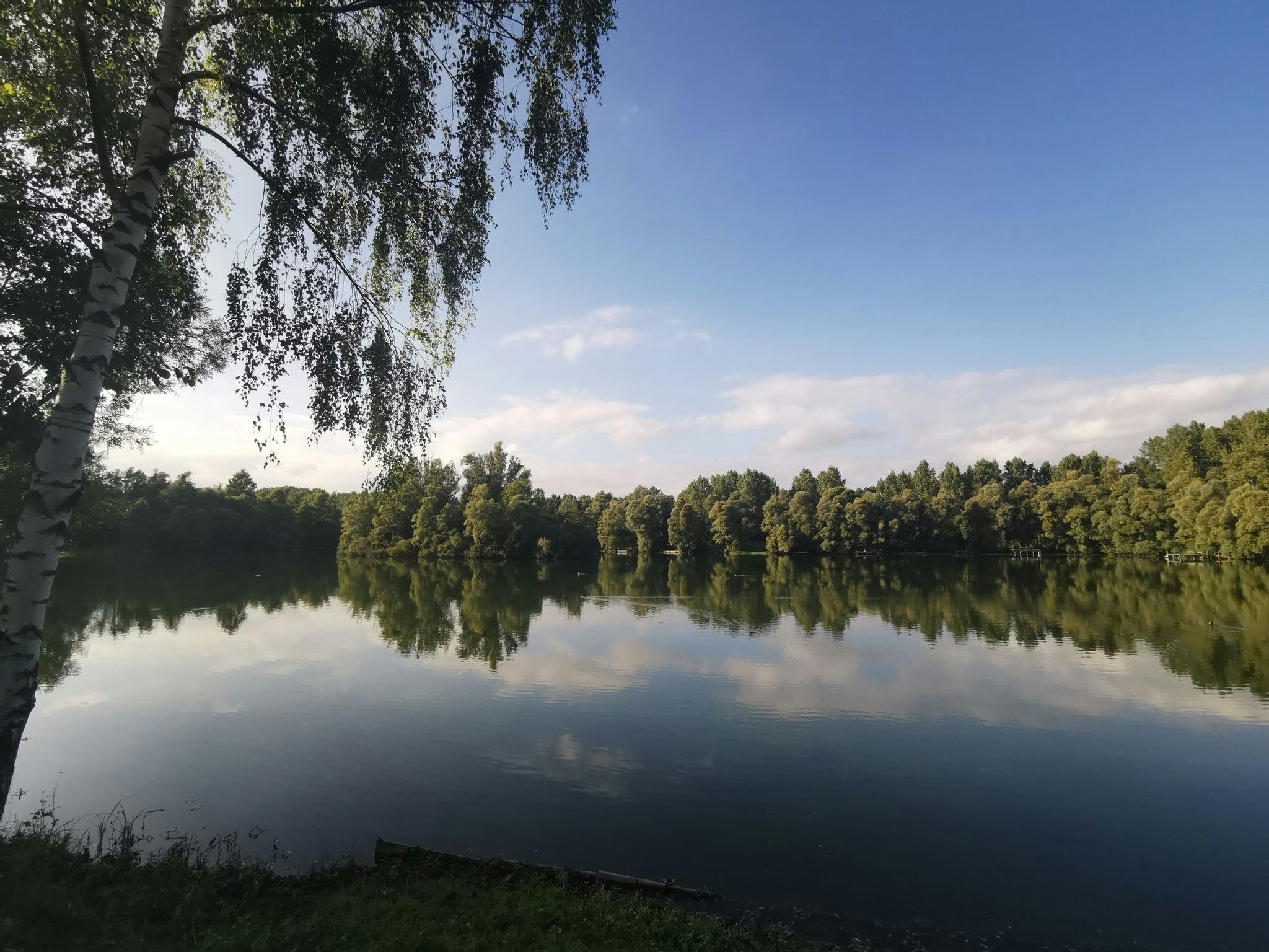
Pleasant walk that lends itself well to a family outing. The route takes place around the ponds of Montplaisir and can be shortened according to the physical form of each one. The colors are beautiful and the environment is calm and relaxing.

Already more than 200,000 users!
Uphill
50m
Highest point
47m
Downhill
50m
Lowest point
26m
Route type
Loop
Download the map on your smartphone to save battery and rest assured to always keep access to the route, even without signal.
Includes IGN France and Swisstopo.
I indicate whether dogs are allowed or prohibited on this trail
All year
0 ratings
Also enjoy:

Already more than 200,000 users!


