Uphill
220m
Length
10km
Duration
3h
Elev gain
220m
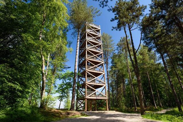
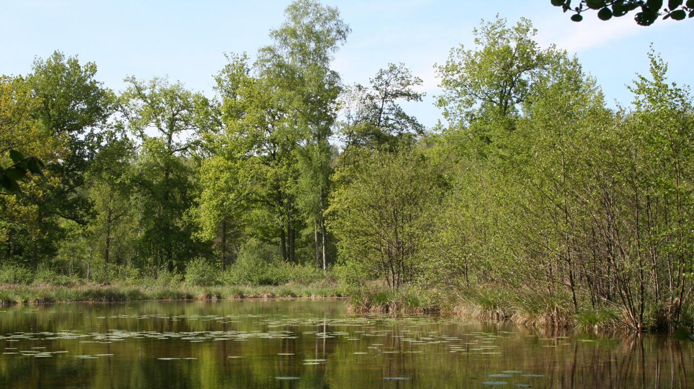
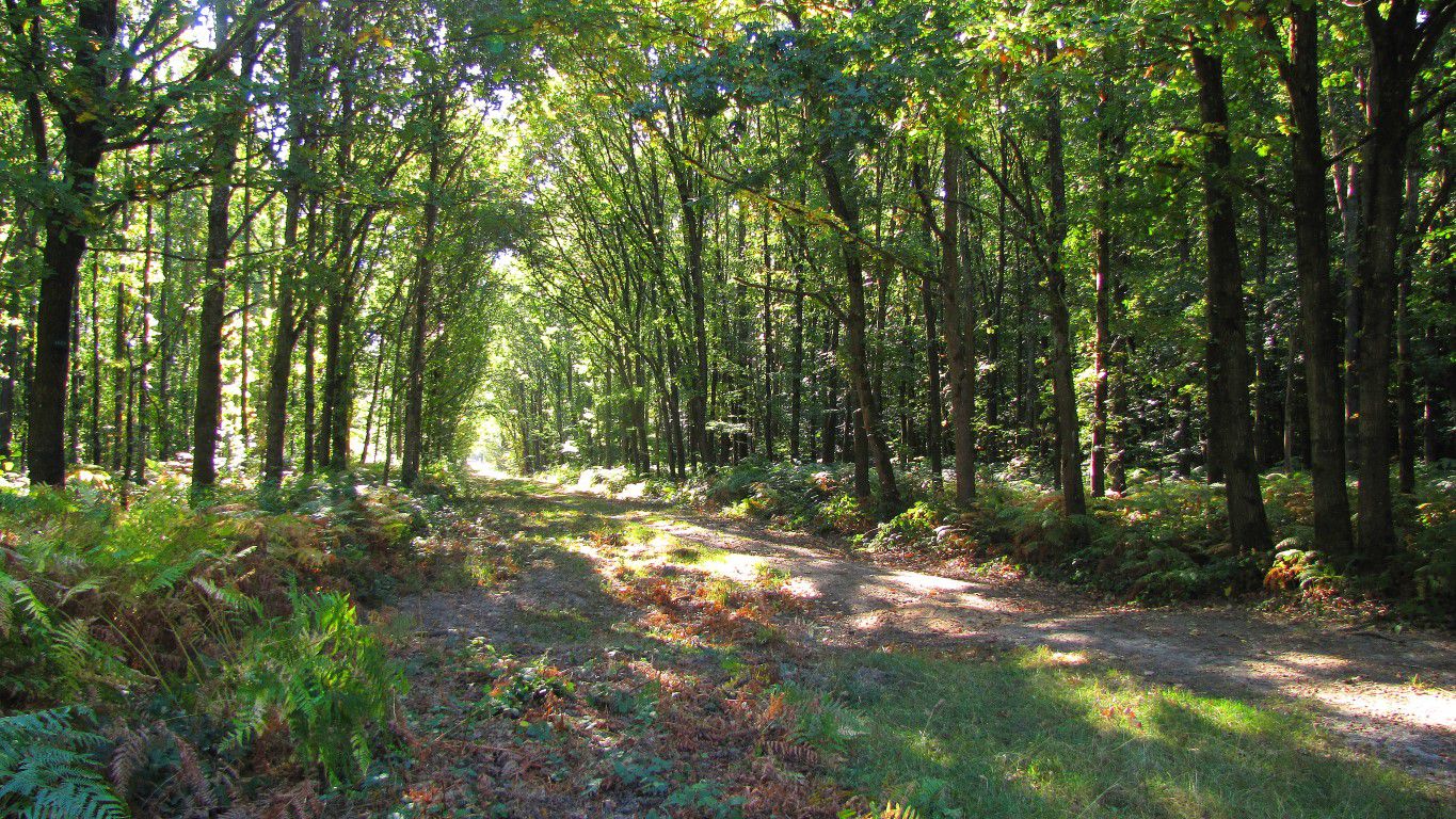
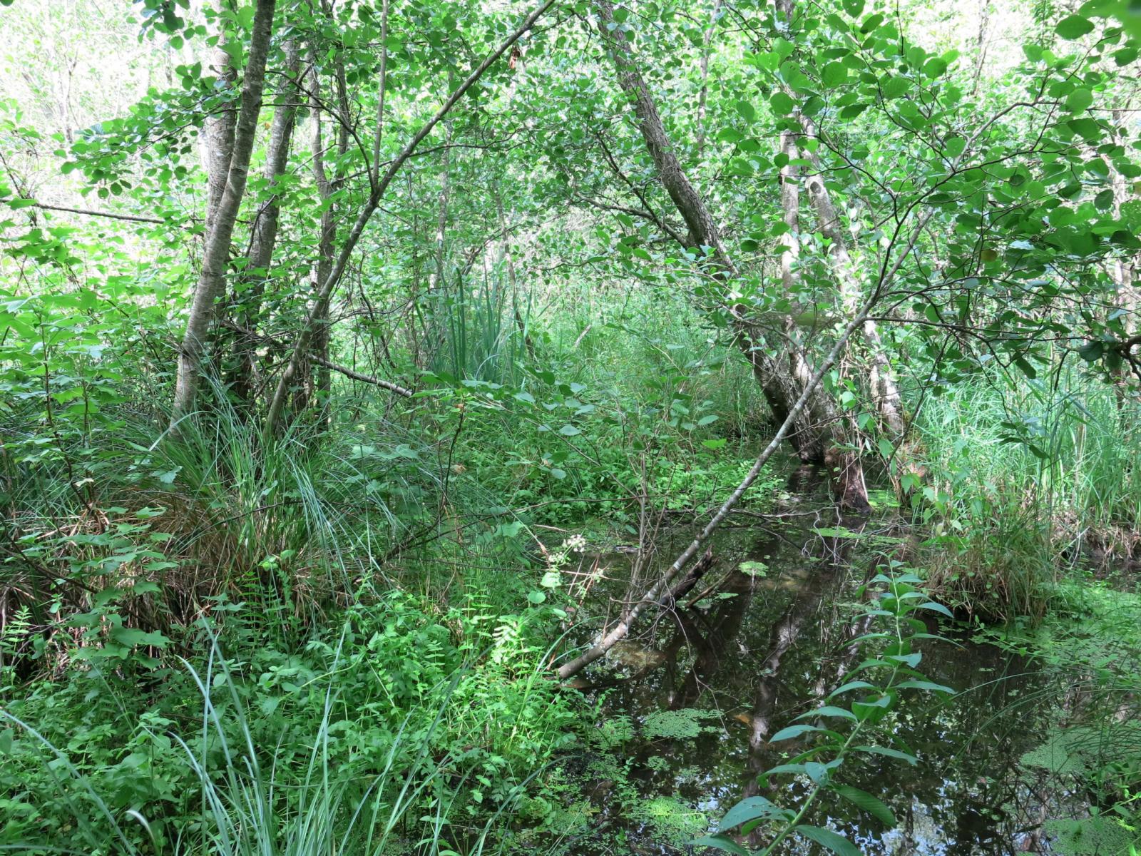
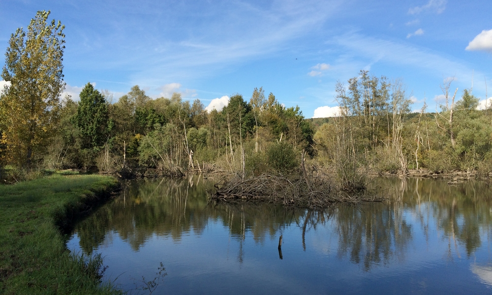
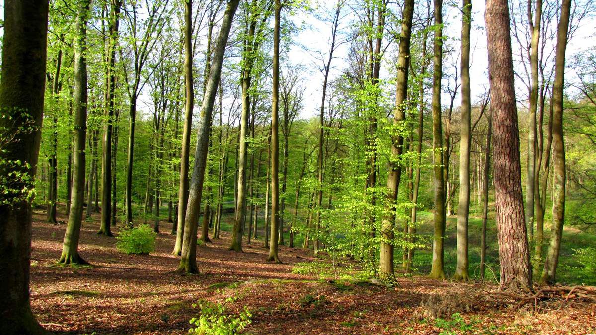
Departing from Villers-Cotterêts, this loop allows you to discover the park of the castle, as well as the forest of Retz.

Already more than 200,000 users!
Uphill
220m
Highest point
235m
Downhill
220m
Lowest point
114m
Route type
Loop
Download the map on your smartphone to save battery and rest assured to always keep access to the route, even without signal.
Includes IGN France and Swisstopo.
I indicate whether dogs are allowed or prohibited on this trail
All year
0 ratings
Also enjoy:

Already more than 200,000 users!