Uphill
195m
Length
15km
Duration
4h
Elev gain
195m
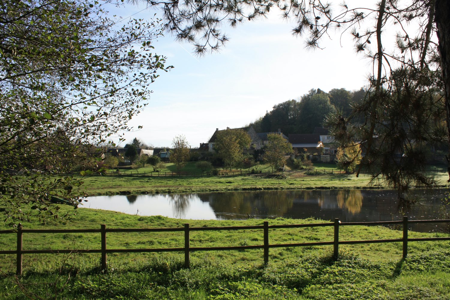
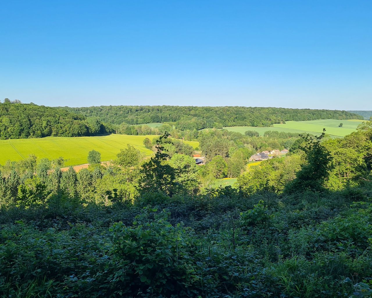
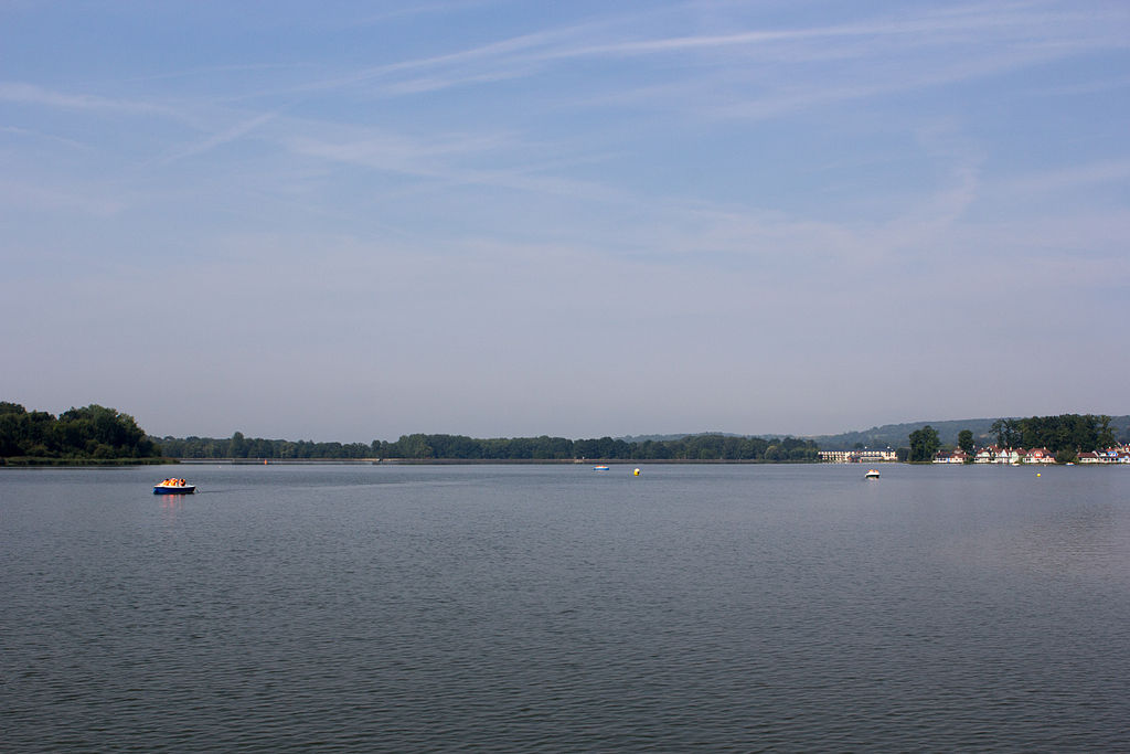
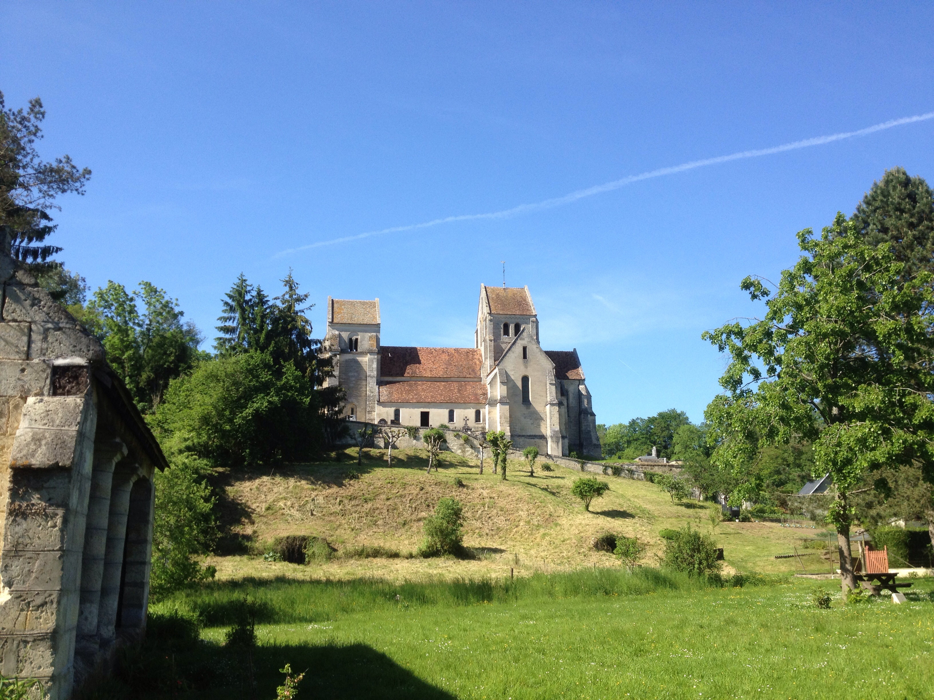
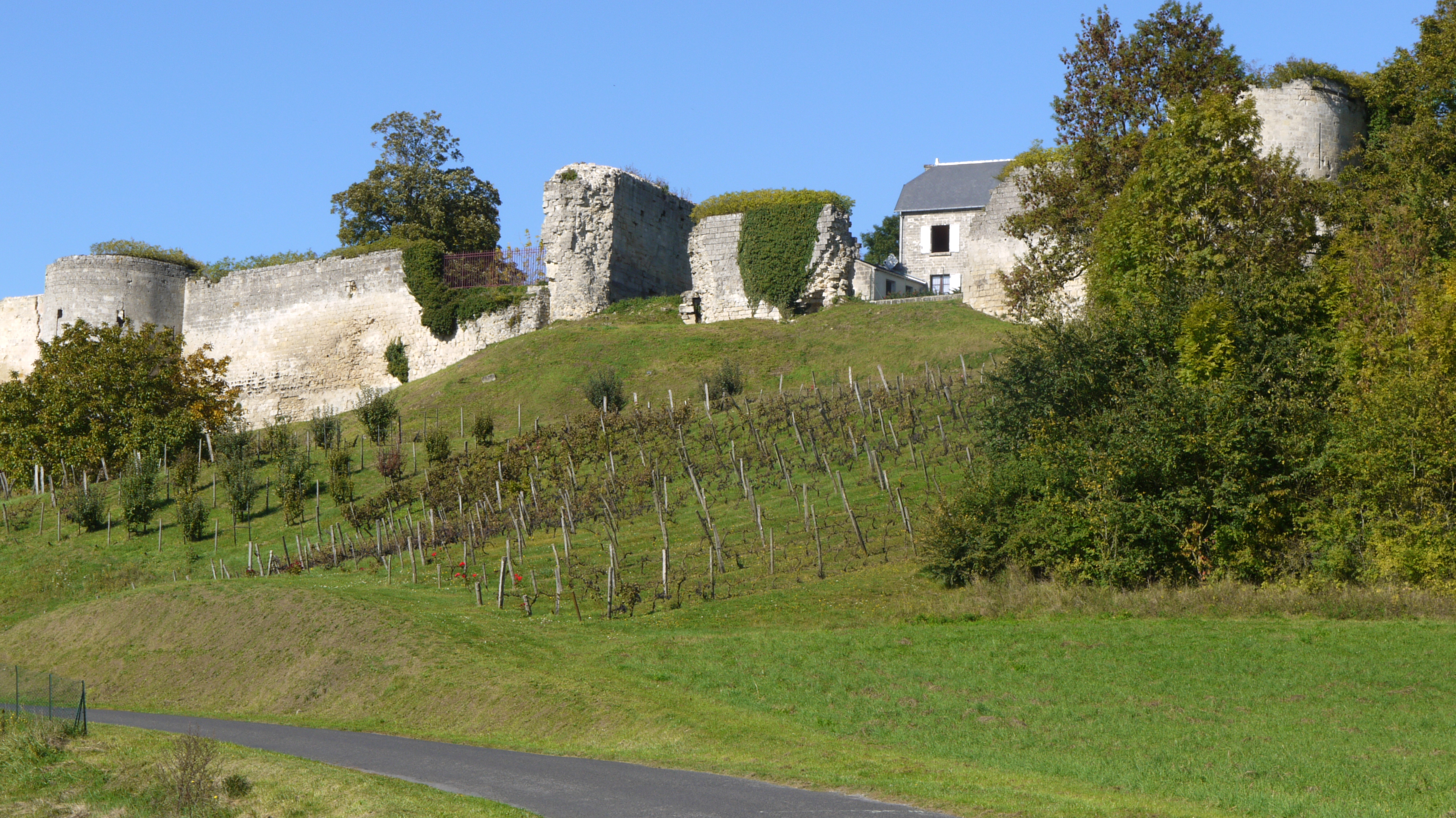
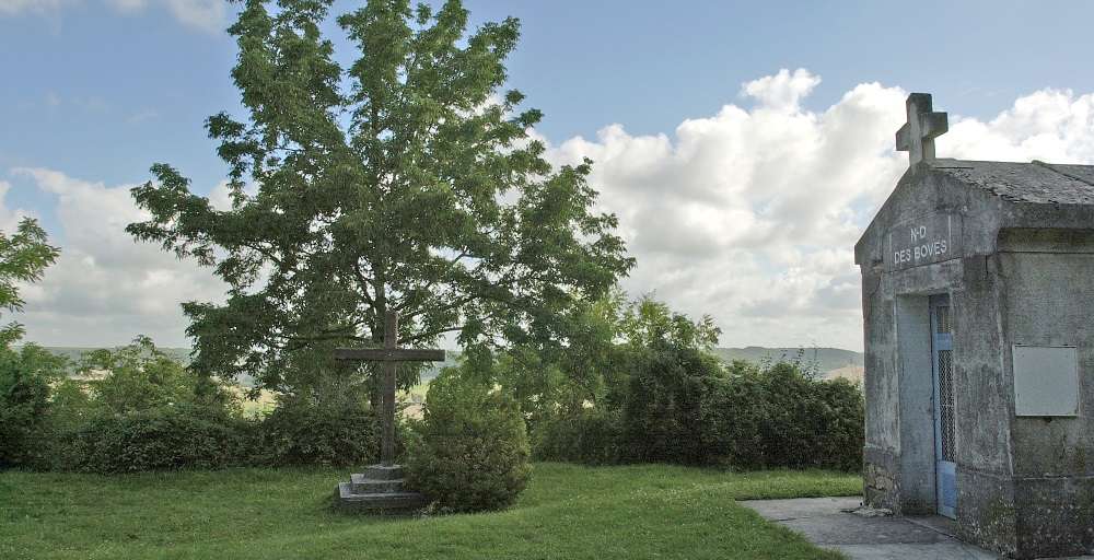
Pretty hike around the town of Chassemy, located between the two valleys of the Aisne and the Vesle. The route offers pretty views of the "boves", caves dug near Notre-Dame-des-Boves, and also offers a panoramic view of the surrounding villages.

Already more than 200,000 users!
Uphill
195m
Highest point
164m
Downhill
195m
Lowest point
38m
Route type
Loop
Download the map on your smartphone to save battery and rest assured to always keep access to the route, even without signal.
Includes IGN France and Swisstopo.
I indicate whether dogs are allowed or prohibited on this trail
All year
0 ratings
Also enjoy:

Already more than 200,000 users!