Uphill
41m
Length
3km
Duration
1h
Elev gain
41m
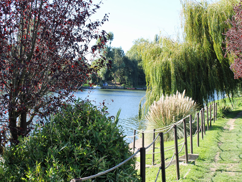
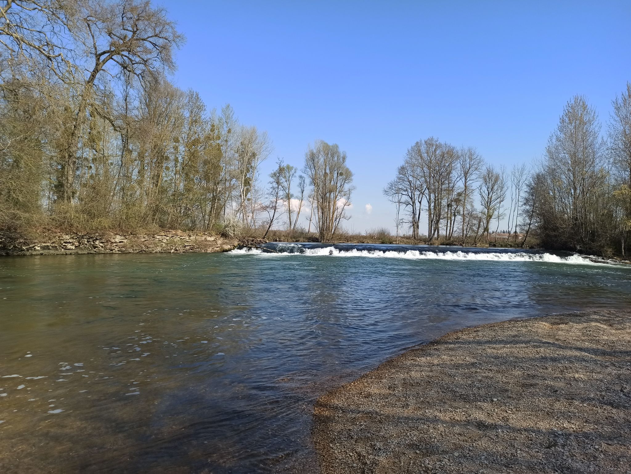
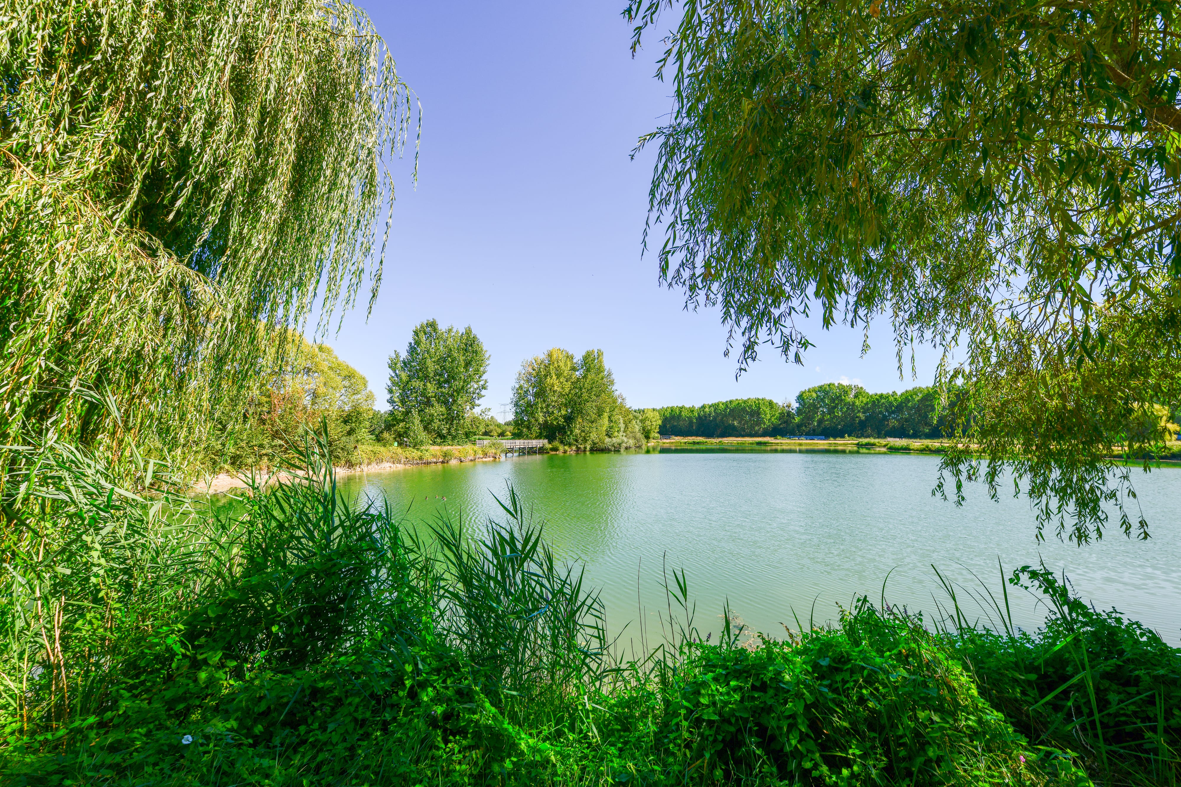
Located near Nogent-sur-Seine, this walk goes around the charming lake of Monteuil, on a wild path that crosses a natural environment where the fauna and flora are very rich.

Already more than 200,000 users!
Uphill
41m
Highest point
71m
Downhill
41m
Lowest point
37m
Route type
Loop
Download the map on your smartphone to save battery and rest assured to always keep access to the route, even without signal.
Includes IGN France and Swisstopo.
I indicate whether dogs are allowed or prohibited on this trail
All year
1 rating
Also enjoy:

Already more than 200,000 users!