Uphill
333m
Length
10km
Duration
3h30min
Elev gain
333m
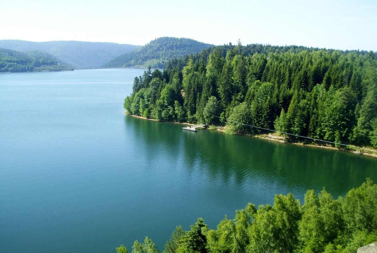
Stroll on the heights of Lake Pierre-Percée, whose shores lined with fir trees earned it the nickname "Little Canada".

Already more than 200,000 users!
Uphill
333m
Highest point
565m
Downhill
333m
Lowest point
315m
Route type
Loop
Download the map on your smartphone to save battery and rest assured to always keep access to the route, even without signal.
Includes IGN France and Swisstopo.
Parking du belvédère de Pierre-Percée.
Another car park next to the lake, right below the village.
I indicate whether dogs are allowed or prohibited on this trail
All year
5 ratings
très dur pour les débutants mais super !
Also enjoy:

Already more than 200,000 users!


