Uphill
561m
Length
27km
Duration
8h
Elev gain
561m
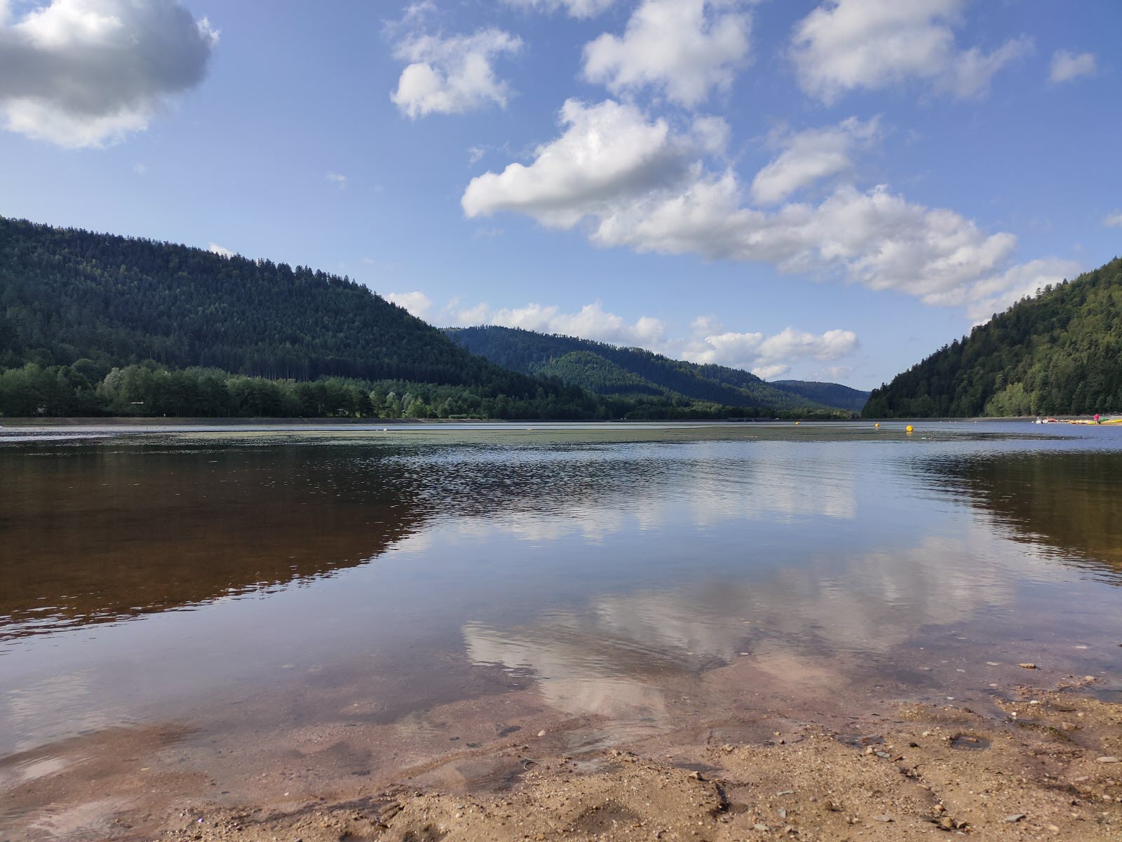
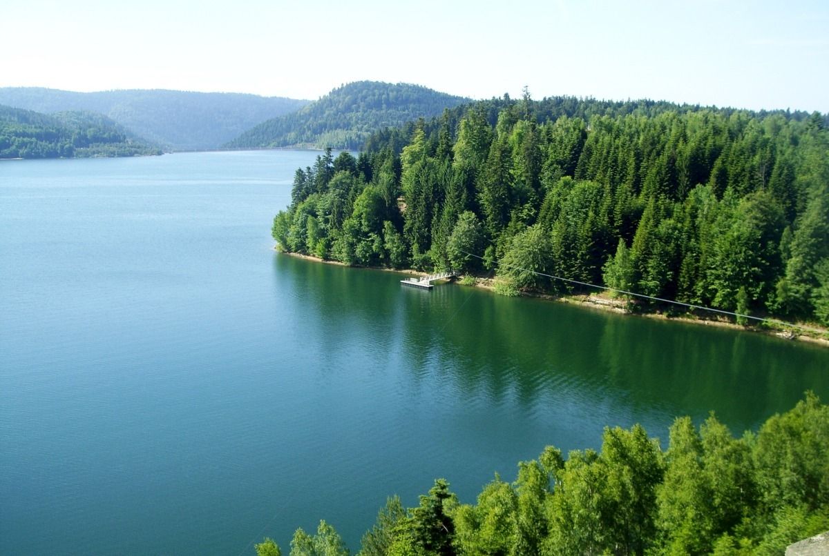
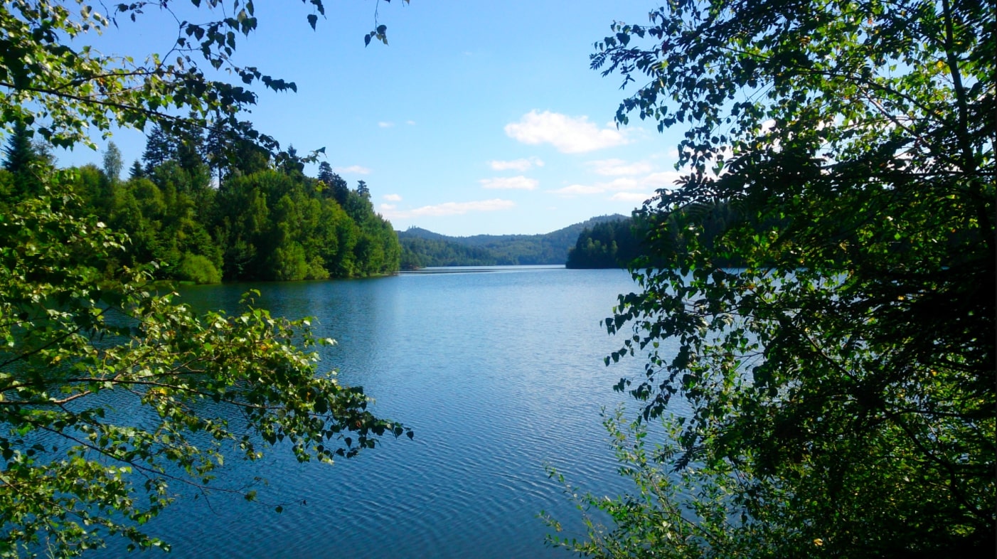
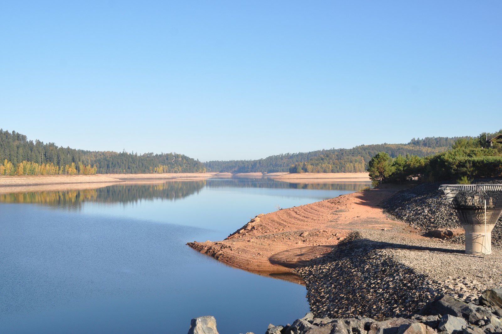
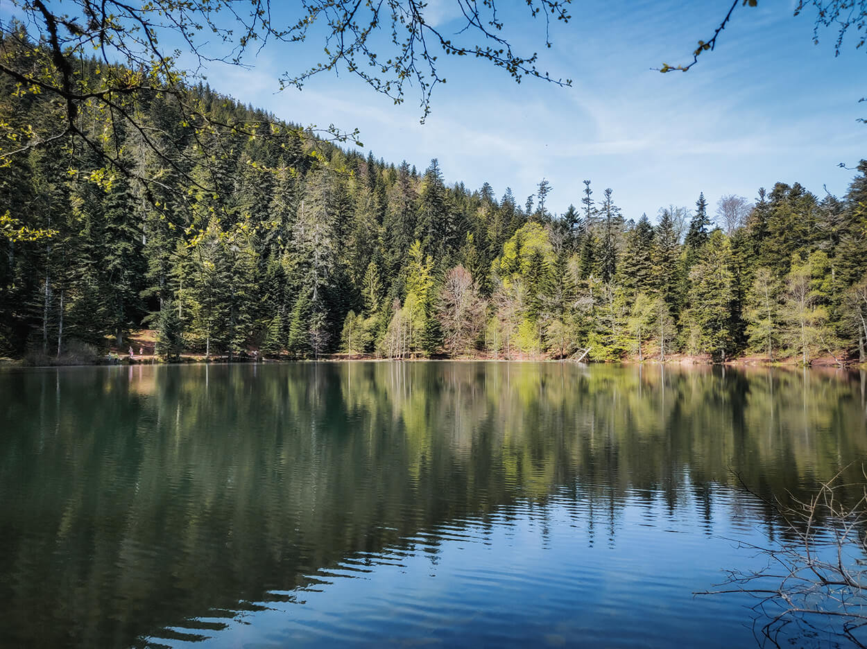
Walk around a large artificial lake, nicknamed Little Canada. No particular difficulty apart from the length.

Already more than 200,000 users!
Uphill
561m
Highest point
444m
Downhill
561m
Lowest point
375m
Route type
Loop
Download the map on your smartphone to save battery and rest assured to always keep access to the route, even without signal.
Includes IGN France and Swisstopo.
I indicate whether dogs are allowed or prohibited on this trail
All year
0 ratings
Also enjoy:

Already more than 200,000 users!