Uphill
102m
Length
7km
Duration
2h
Elev gain
102m
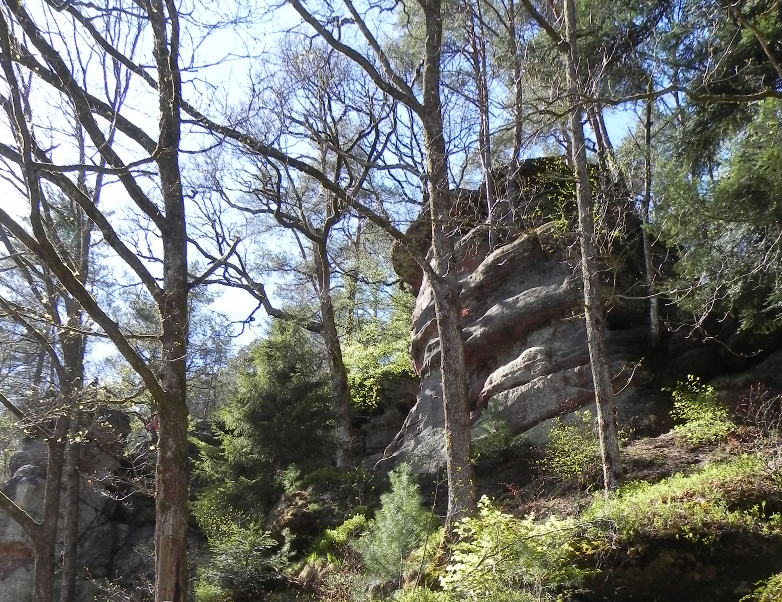
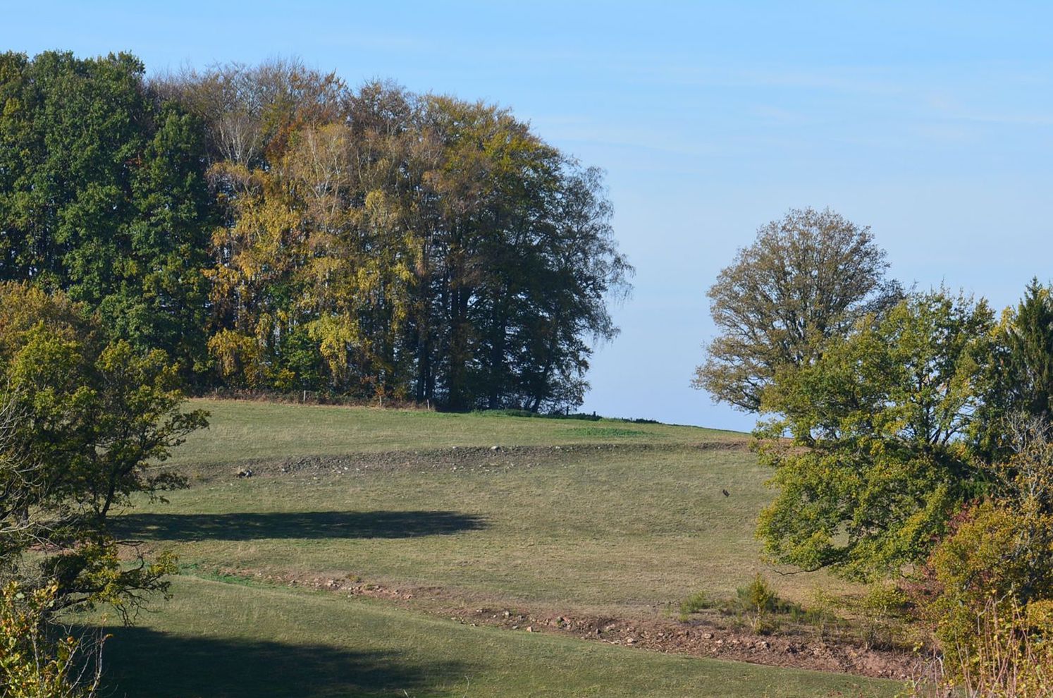
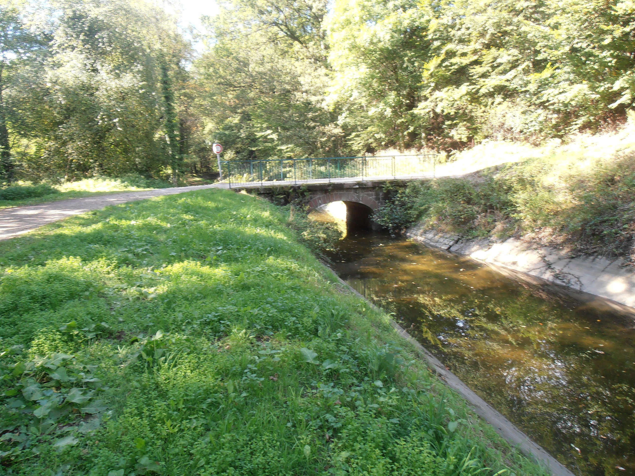
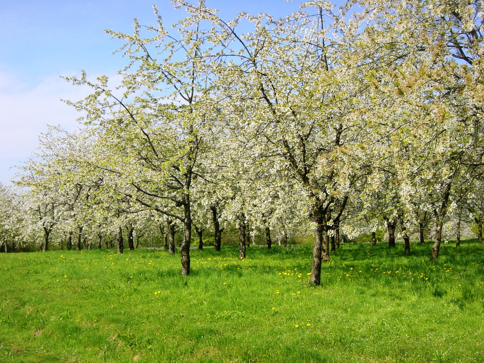
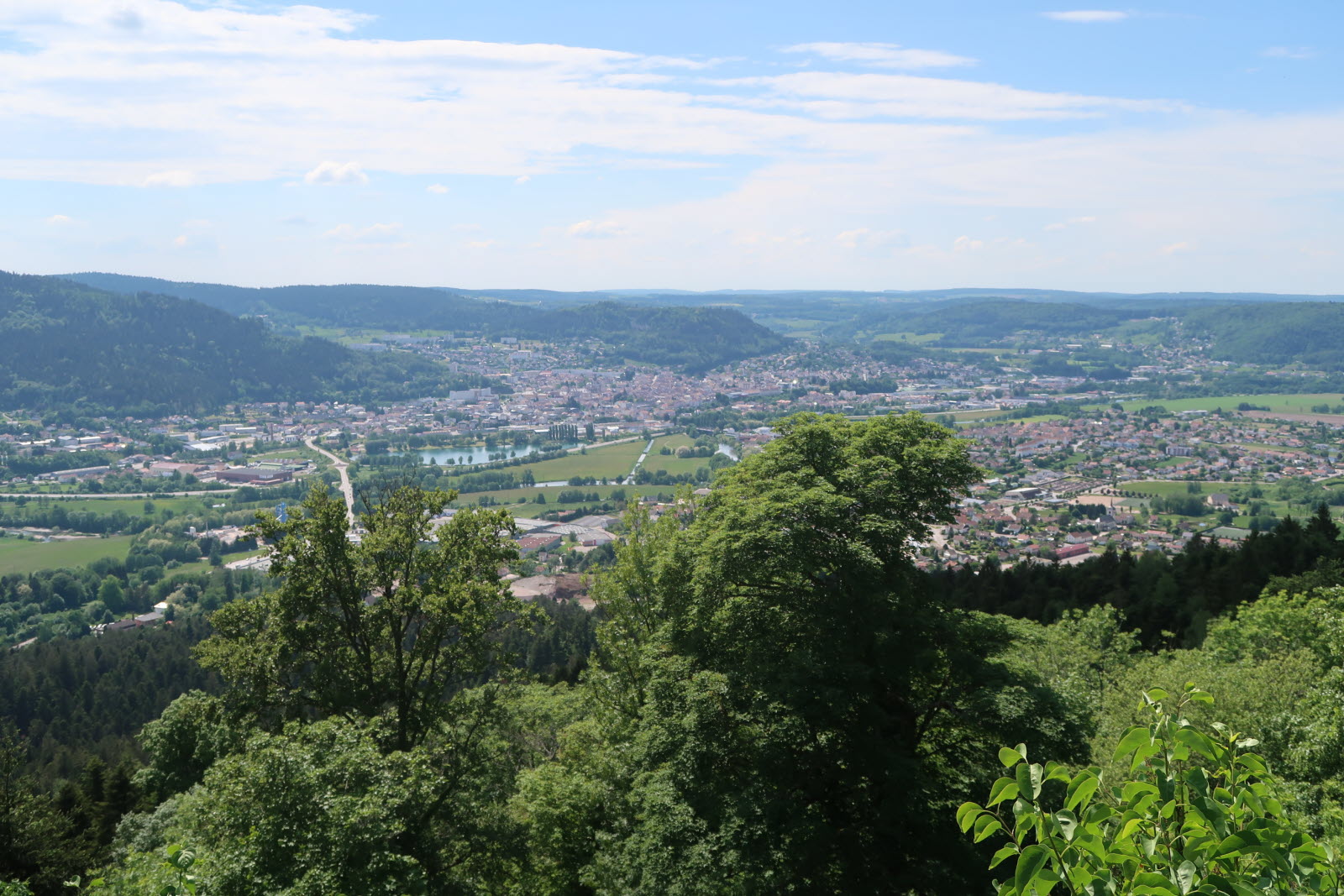
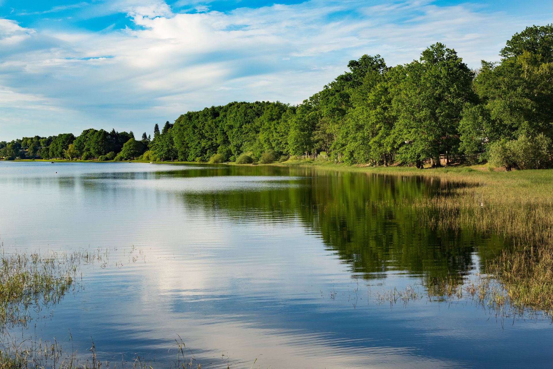
Departing from Chaumousey, this walk goes around Lake Bouzey. Between restaurants, beaches and nature, everything is there to have a good time at the water's edge with the family.

Already more than 200,000 users!
Uphill
102m
Highest point
417m
Downhill
102m
Lowest point
347m
Route type
Loop
Download the map on your smartphone to save battery and rest assured to always keep access to the route, even without signal.
Includes IGN France and Swisstopo.
I indicate whether dogs are allowed or prohibited on this trail
All year
0 ratings
Also enjoy:

Already more than 200,000 users!