Uphill
75m
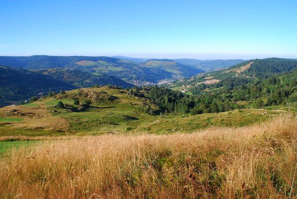
France > Grand Est > Vosges > Ballons des Vosges Regional Natural Park
Length
5km
Duration
1h30min
Elev gain
75m
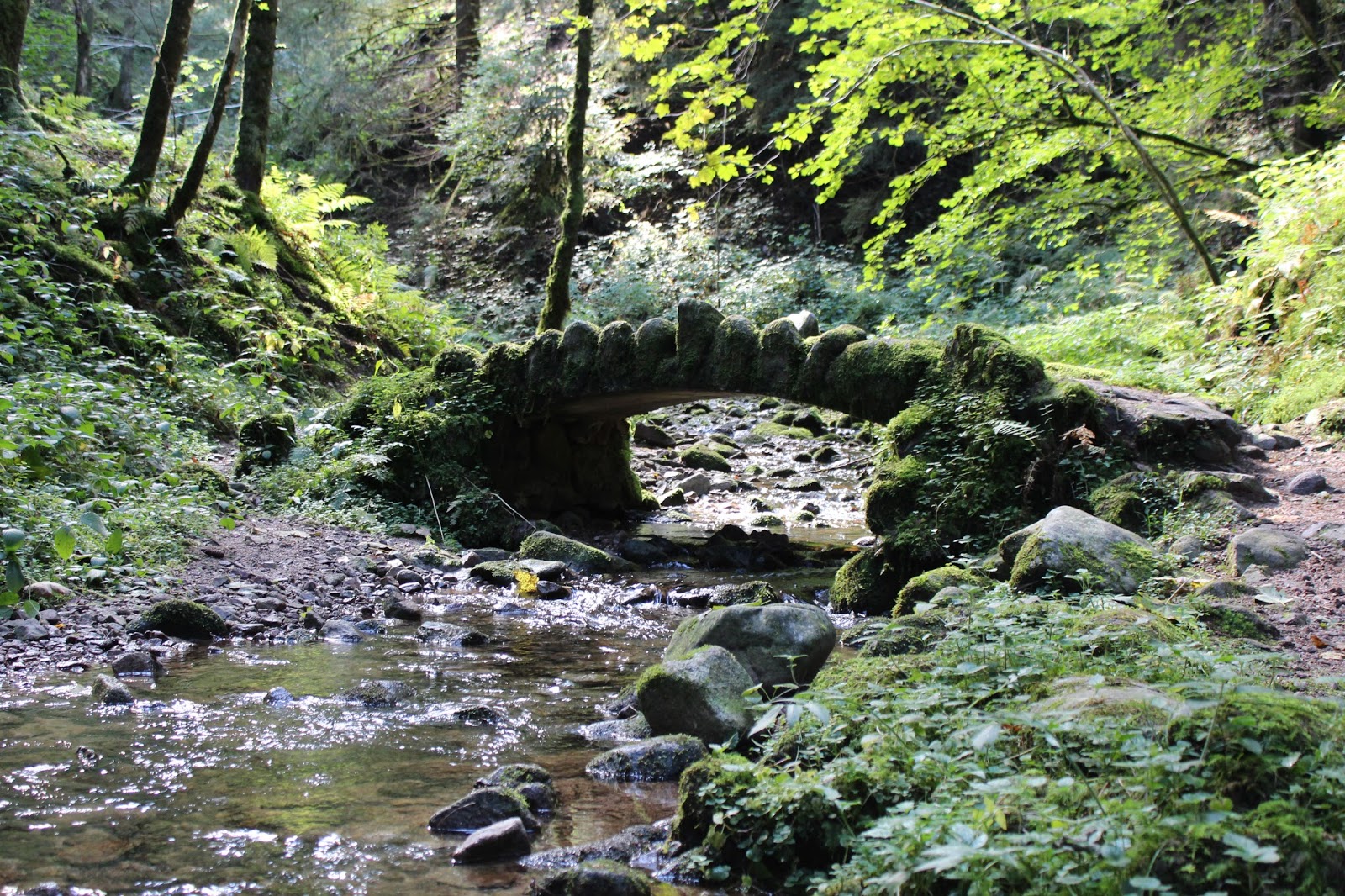
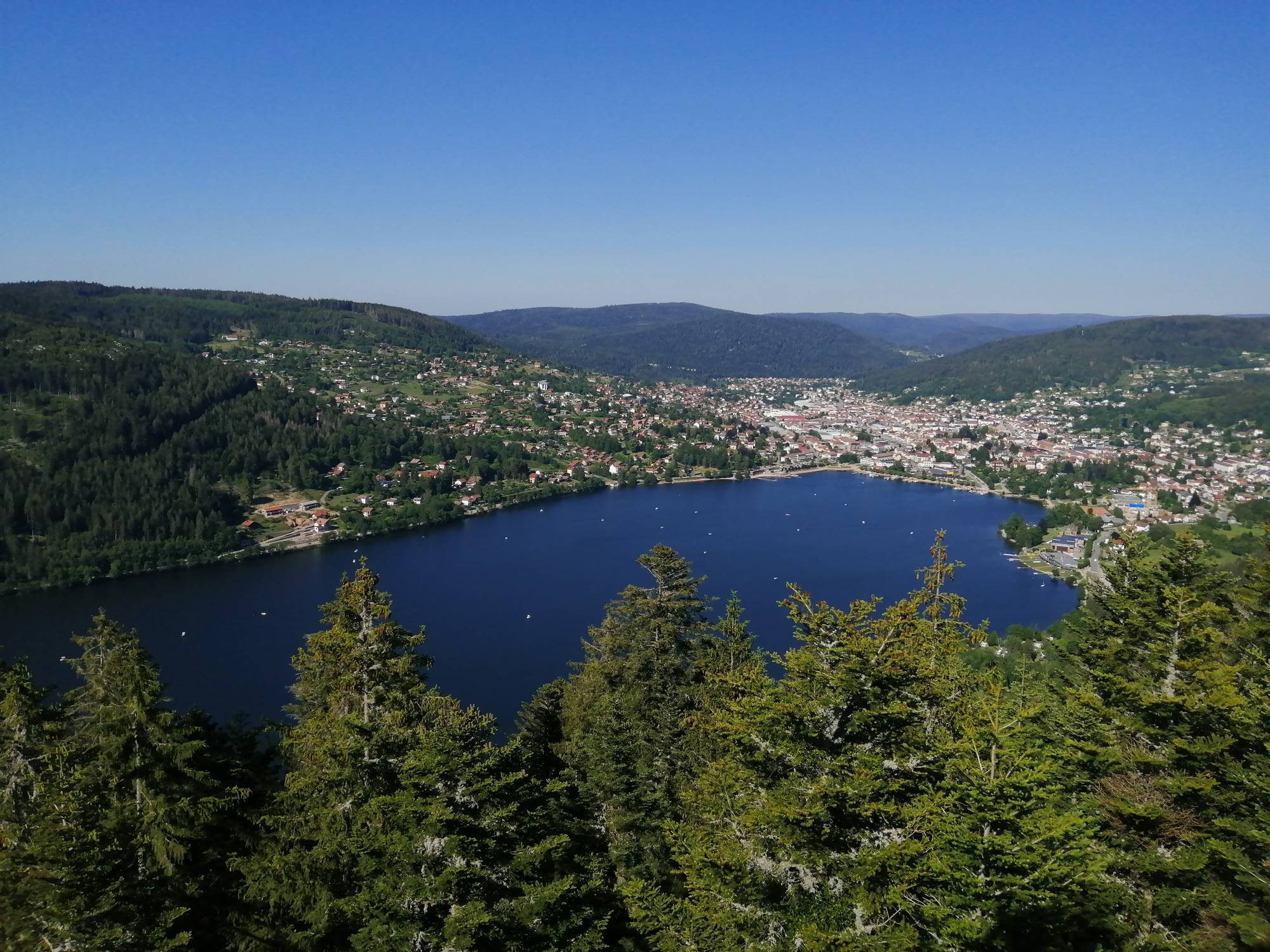
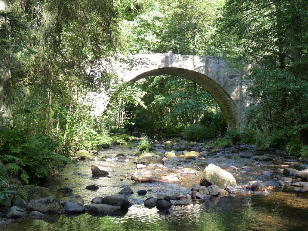
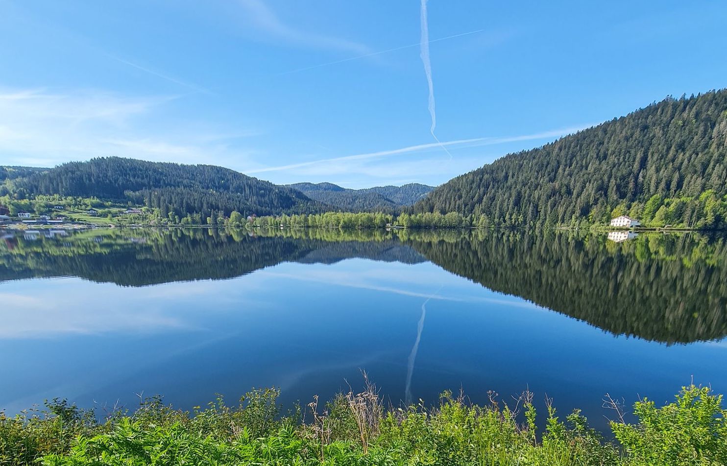
Popular hike around the very beautiful lake of Gérardmer. The trail passes several restaurants and picnic areas, as well as public beaches, making it a great place to spend the day.
Only regret: the route runs along a very busy road for more than a kilometer.

Already more than 200,000 users!
Uphill
75m
Highest point
687m
Downhill
75m
Lowest point
650m
Route type
Loop
Download the map on your smartphone to save battery and rest assured to always keep access to the route, even without signal.
Includes IGN France and Swisstopo.
I indicate whether dogs are allowed or prohibited on this trail
All year
3 ratings
Also enjoy:

Already more than 200,000 users!