Uphill
286m
France > Grand Est > Vosges > Ballons des Vosges Regional Natural Park
Length
9km
Duration
3h
Elev gain
286m
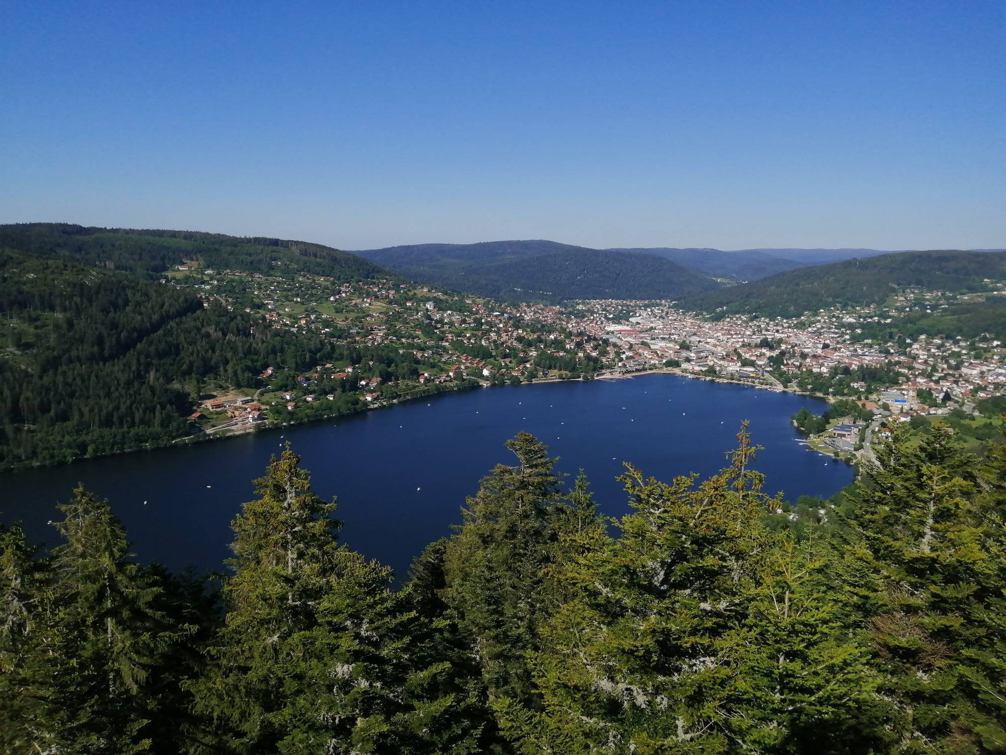
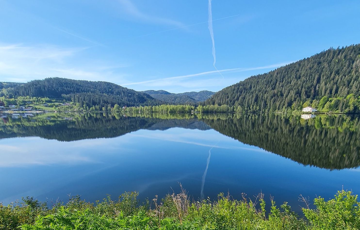
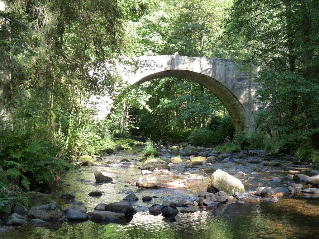
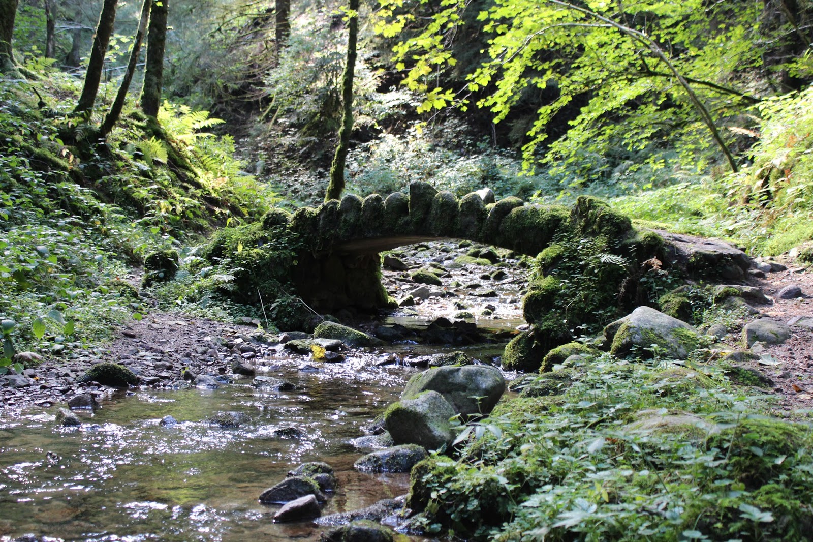
This pleasant hike begins at the edge of the Gérardmer lake. In the first part, the path passes behind the Sapins campsite and follows a road for one kilometer, before reaching the Bourrique waterfall, a very pretty waterfall.
Then, the path passes by the observatory of Mérelle, where the view of the lake is grandiose, then continues to the waterfall bearing the same name. The return to the starting point partly runs along the lake.

Already more than 200,000 users!
Uphill
286m
Highest point
896m
Downhill
286m
Lowest point
656m
Route type
Loop
Download the map on your smartphone to save battery and rest assured to always keep access to the route, even without signal.
Includes IGN France and Swisstopo.
I indicate whether dogs are allowed or prohibited on this trail
All year
4 ratings
Was nice experience but maybe the map needs to be updated because my path always showed me walking next to what was shown in the map. The route down is steep and rocky so make sure you have proper hiking boots. Enjoyed it.
Magnifique rando ... Mais très technique a la fin ... Ou au début ça dépend où on commence 😉
Also enjoy:

Already more than 200,000 users!