Uphill
83m
Length
12km
Duration
3h30min
Elev gain
83m
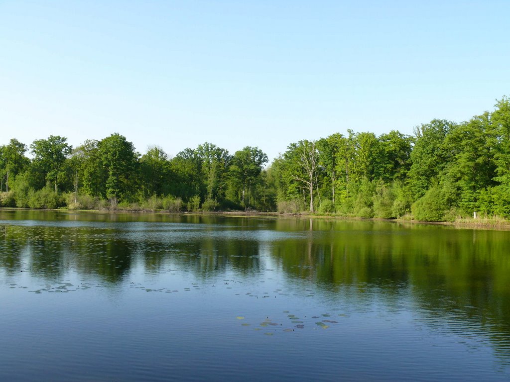
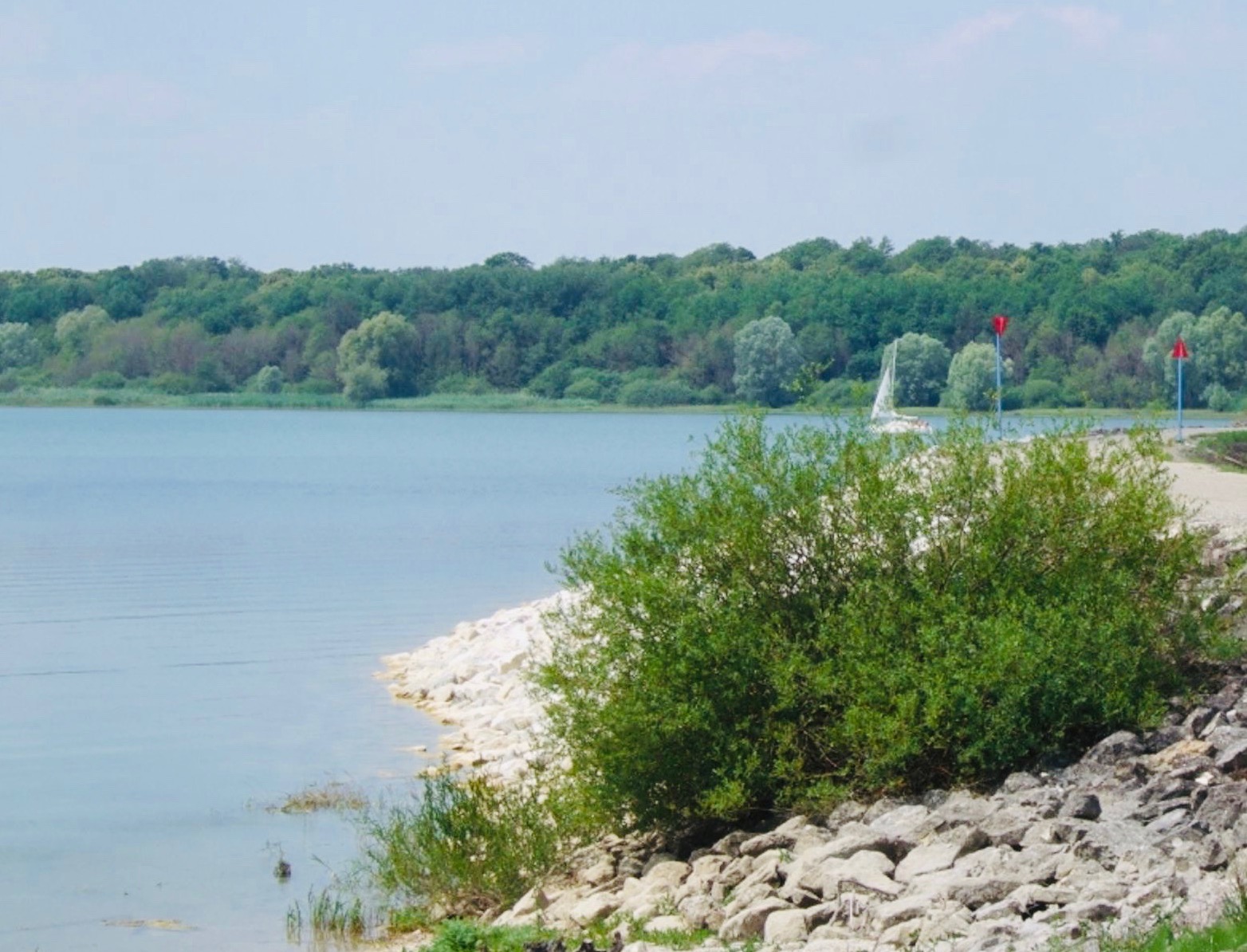
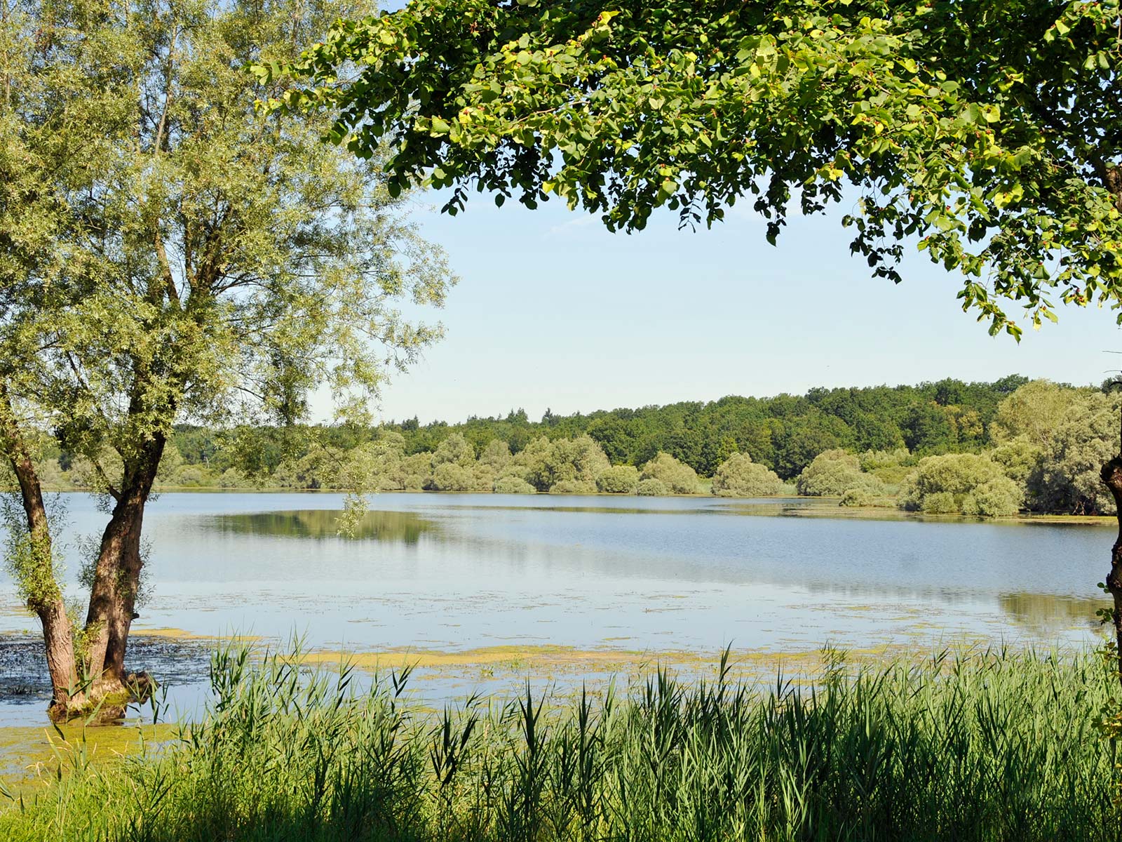
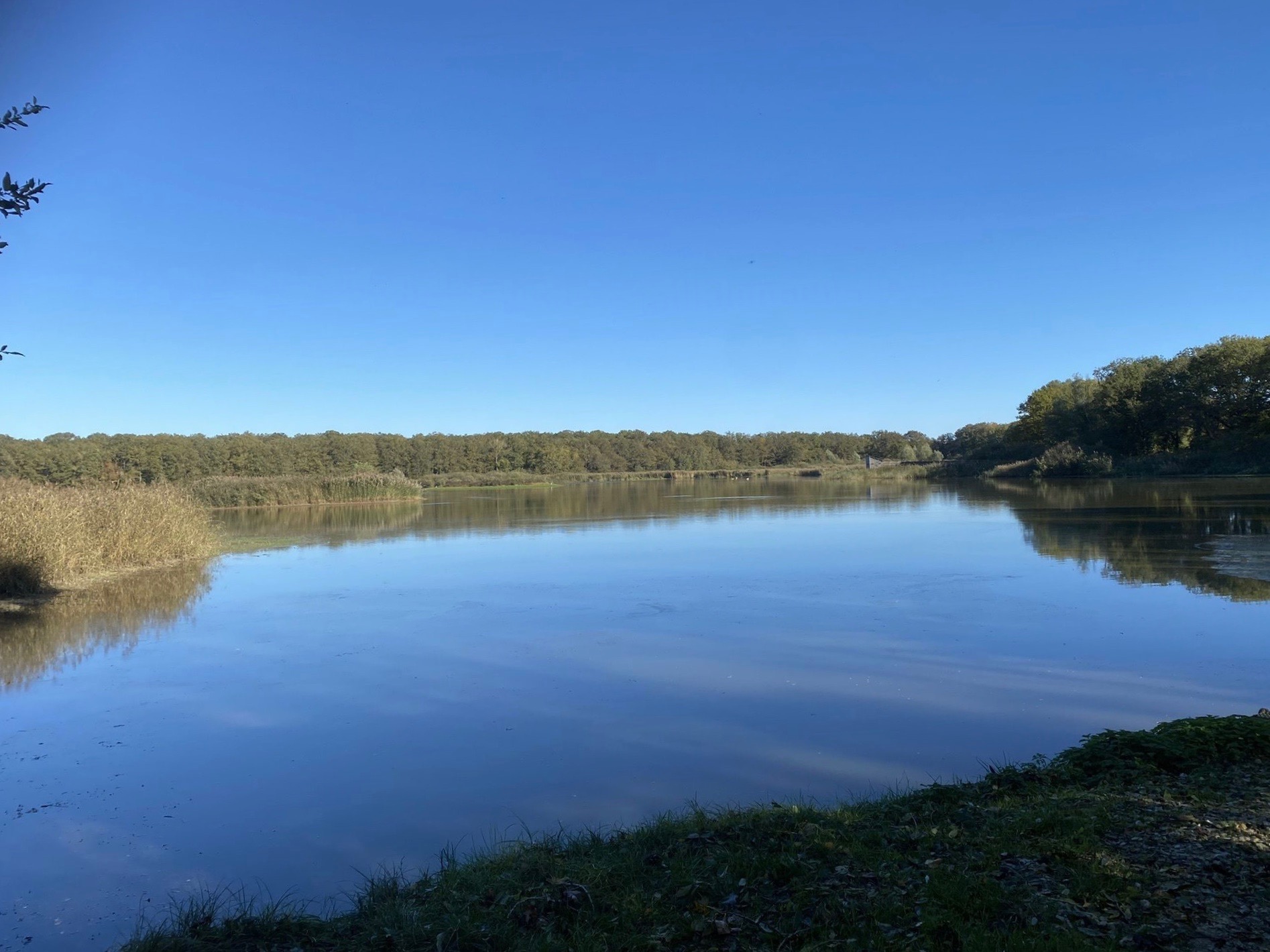
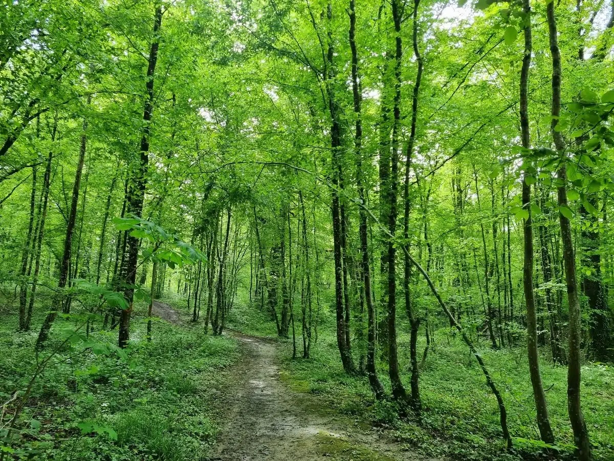
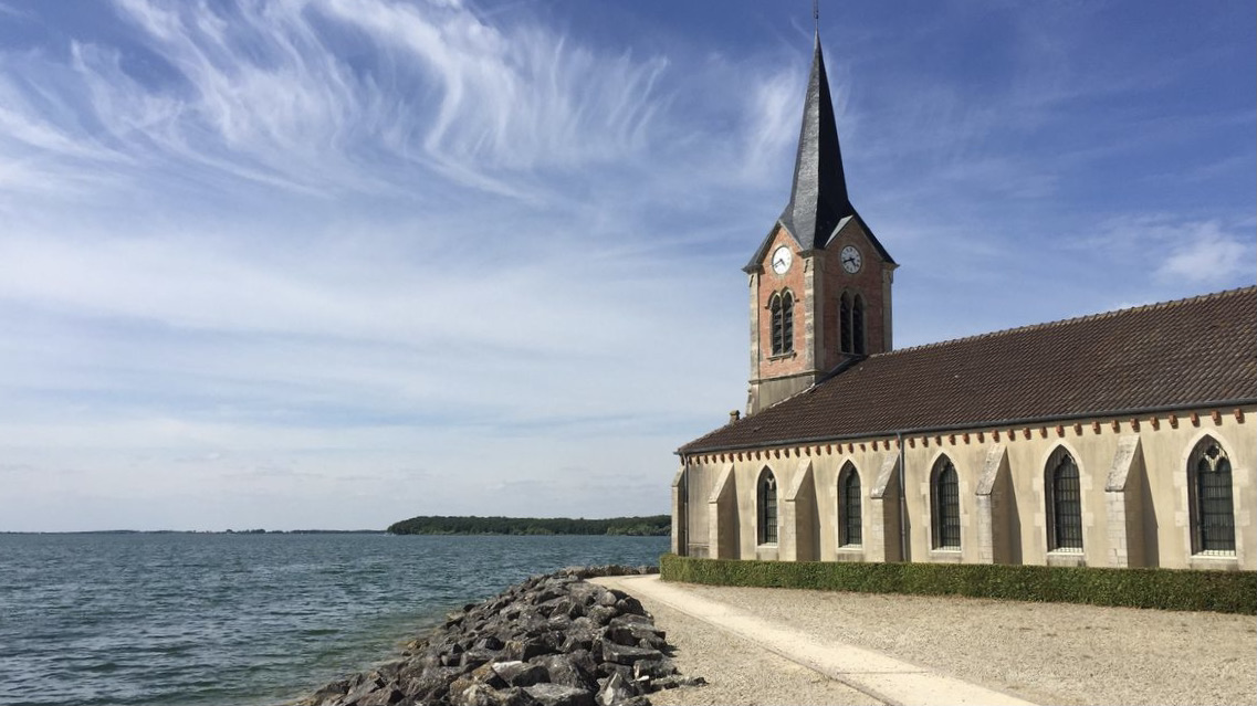
Nice walk between the port of Giffaumont and the peninsula of Champaubert. The route makes a loop between the forest and the shores of Lake Der-Chantecop with a passage through the charming Saint-Laurent church.
Note that a third of the walk is on a road.

Already more than 200,000 users!
Uphill
83m
Highest point
165m
Downhill
83m
Lowest point
126m
Route type
Loop
Download the map on your smartphone to save battery and rest assured to always keep access to the route, even without signal.
Includes IGN France and Swisstopo.
I indicate whether dogs are allowed or prohibited on this trail
All year
0 ratings
Also enjoy:

Already more than 200,000 users!