Uphill
131m
Length
11km
Duration
3h
Elev gain
131m
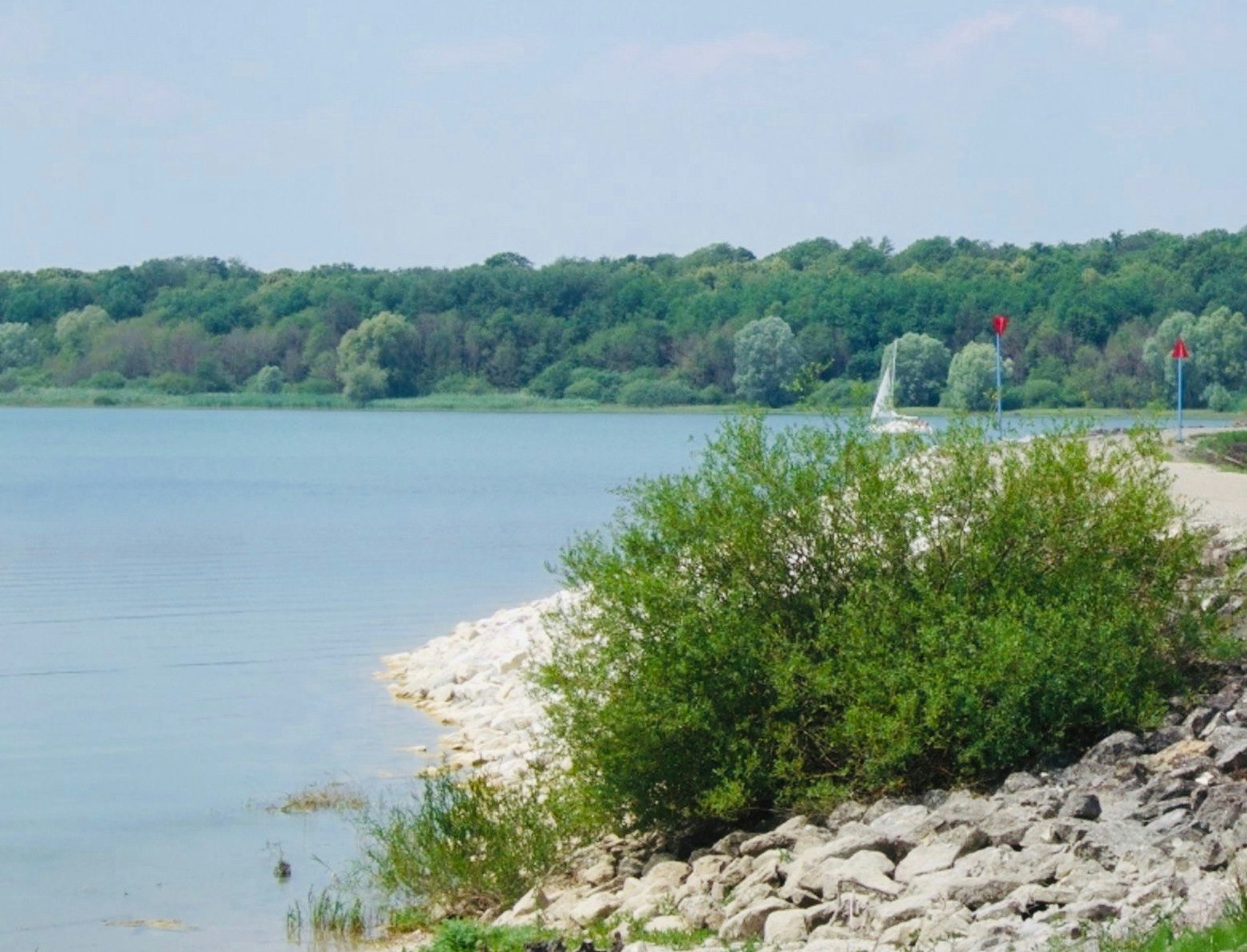
Family-friendly walk on the Nemours peninsula, between the villages of Sainte-Marie-du-Lac-Nuisement and Éclaron-Braucourt-Sainte-Livière. The route makes a loop between the forest and the banks of the Der-Chantecop lake, offering superb views of the latter.

Already more than 200,000 users!
Uphill
131m
Highest point
160m
Downhill
131m
Lowest point
126m
Route type
Loop
Download the map on your smartphone to save battery and rest assured to always keep access to the route, even without signal.
Includes IGN France and Swisstopo.
I indicate whether dogs are allowed or prohibited on this trail
All year
0 ratings
Also enjoy:

Already more than 200,000 users!


