Uphill
64m
Length
8km
Duration
2h30min
Elev gain
64m
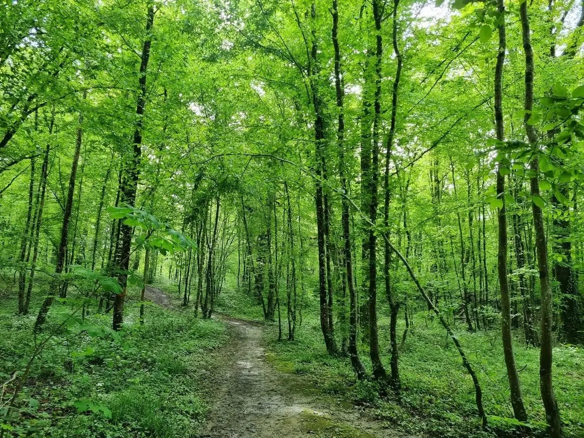
Located south of Saint-Dizier, this wood is a great playground for hikers. The loop course takes place in the heart of the woods and passes very close to the Grand Étang, all in a pleasant and peaceful environment.

Already more than 200,000 users!
Uphill
64m
Highest point
188m
Downhill
64m
Lowest point
137m
Route type
Loop
Download the map on your smartphone to save battery and rest assured to always keep access to the route, even without signal.
Includes IGN France and Swisstopo.
I indicate whether dogs are allowed or prohibited on this trail
All year
0 ratings
Also enjoy:

Already more than 200,000 users!


