Uphill
154m
Length
12km
Duration
3h30min
Elev gain
154m
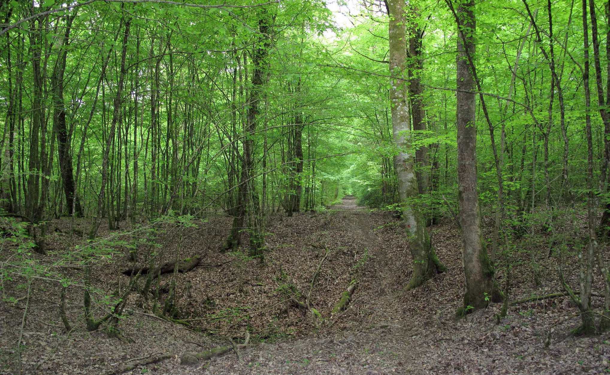
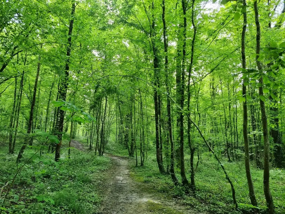
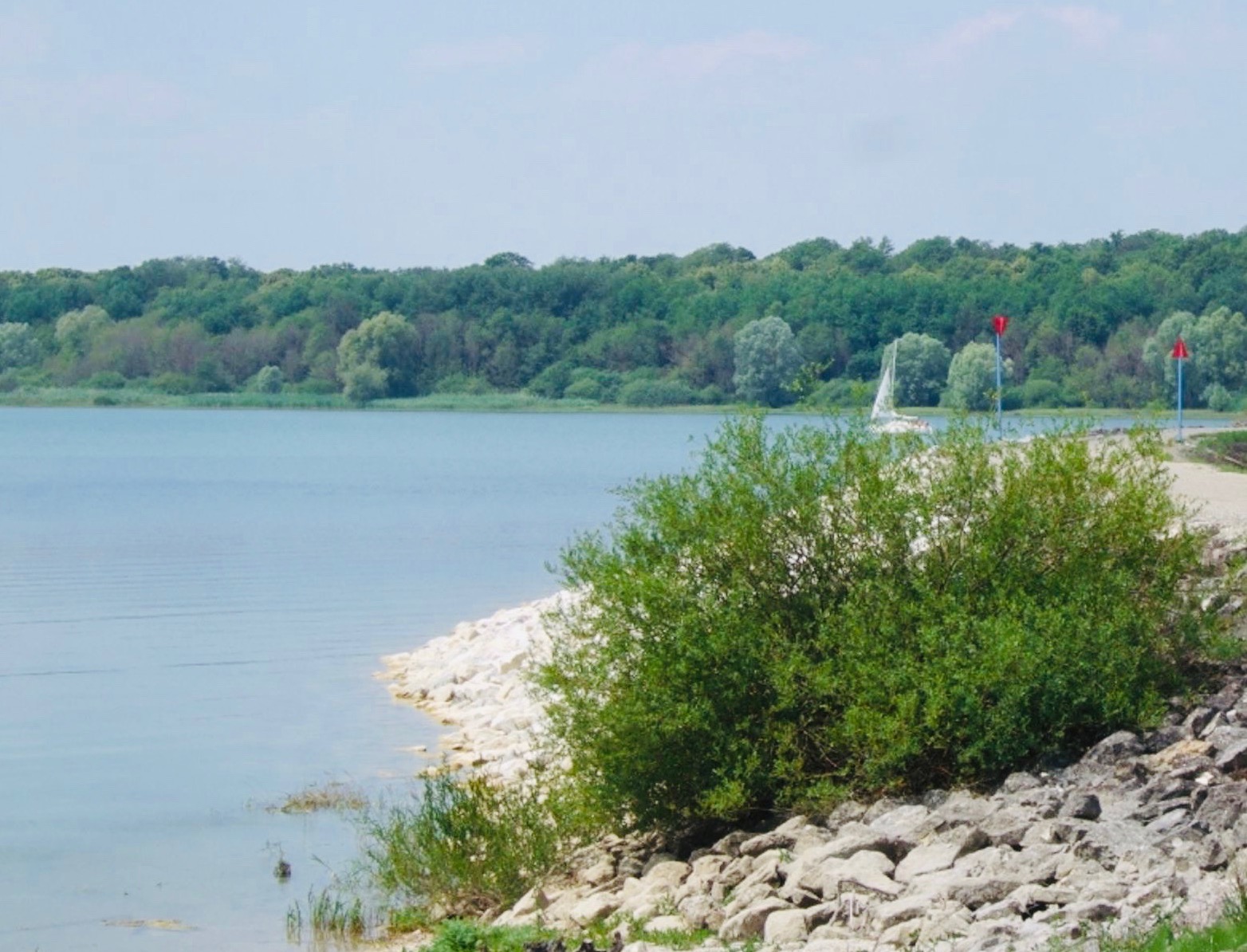
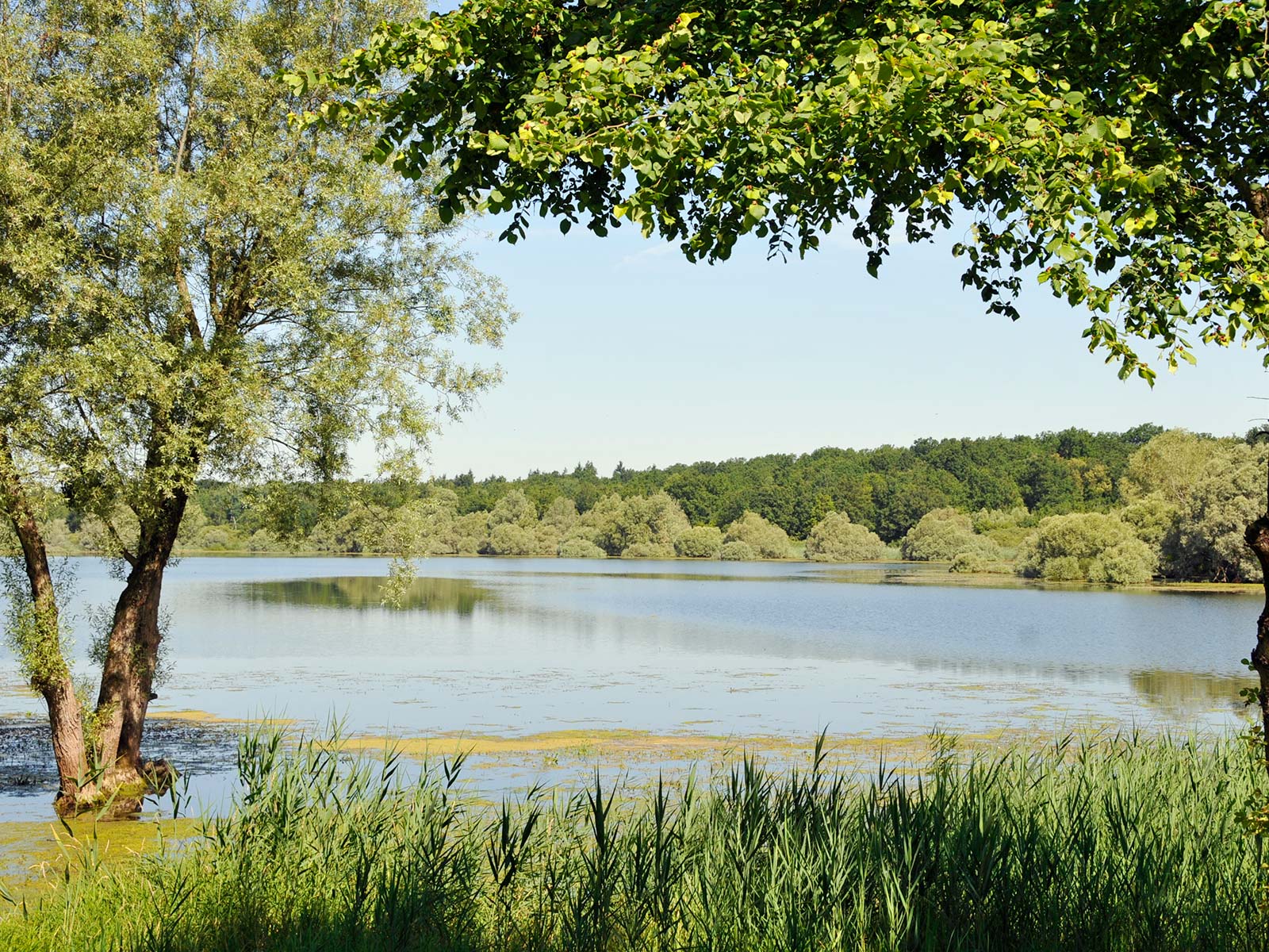
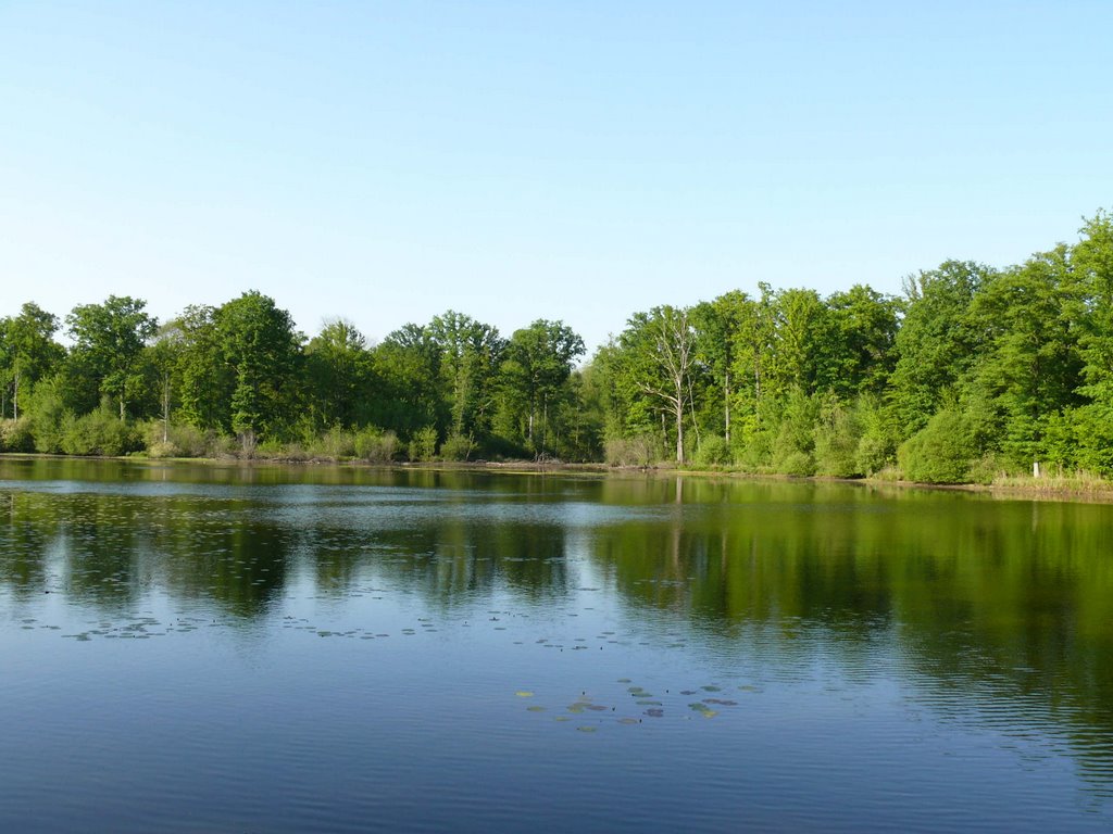
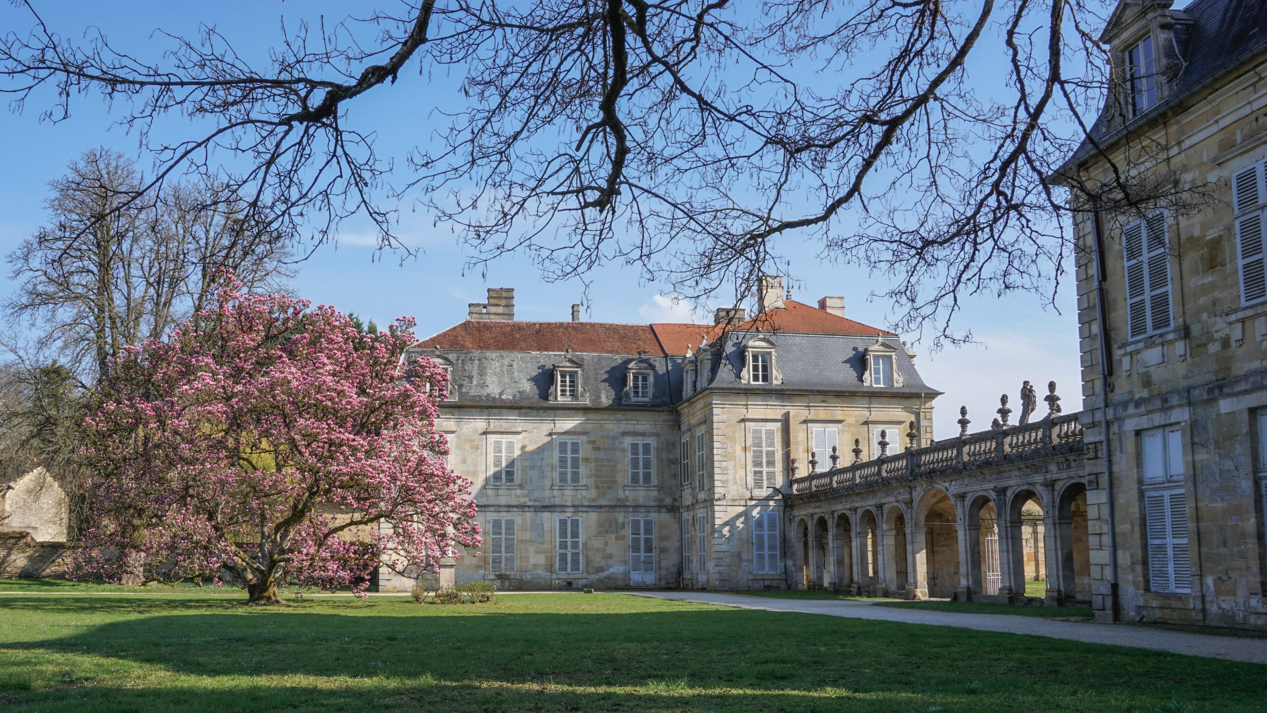
Starting from the abbey car park, this hike makes a nice loop around Trois-Fontaines-l'Abbaye. Between fields and forest, the path offers a beautiful diversity of landscapes throughout the course.

Already more than 200,000 users!
Uphill
154m
Highest point
242m
Downhill
154m
Lowest point
148m
Route type
Loop
Download the map on your smartphone to save battery and rest assured to always keep access to the route, even without signal.
Includes IGN France and Swisstopo.
I indicate whether dogs are allowed or prohibited on this trail
All year
0 ratings
Also enjoy:

Already more than 200,000 users!