Uphill
141m
Length
12km
Duration
3h30min
Elev gain
141m
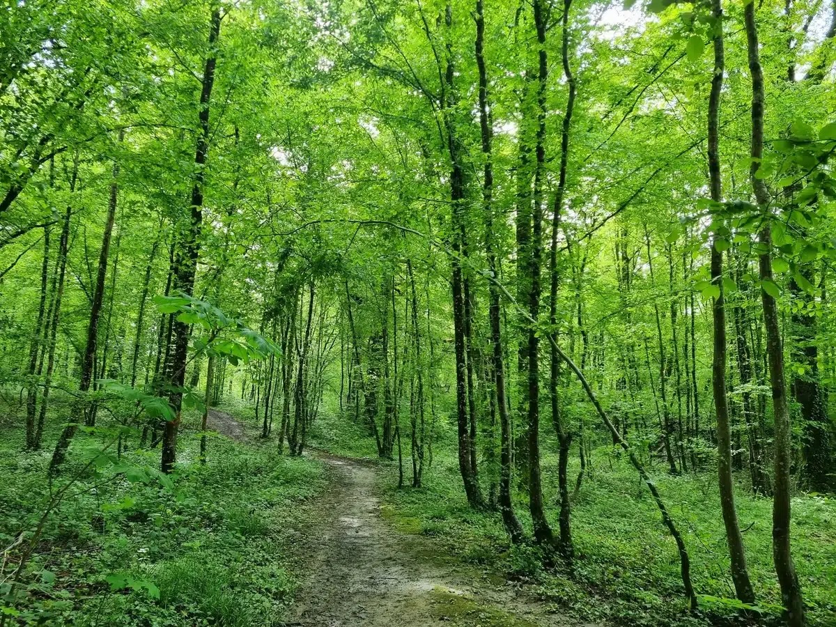
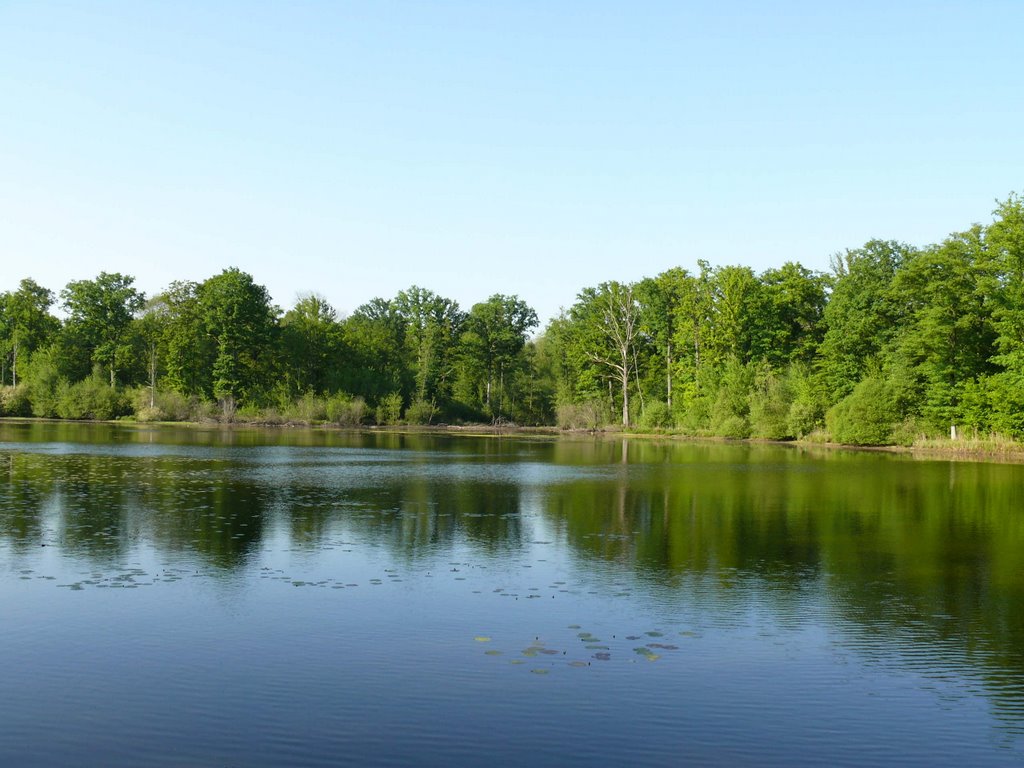
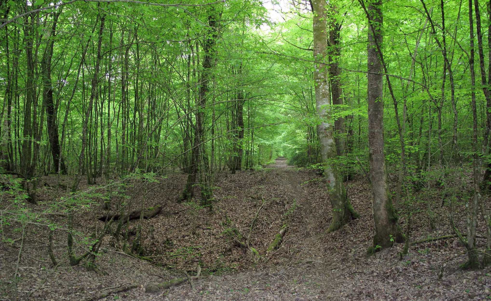
Marked trail through the forest of Trois-Fontaines, allowing to discover many chasms resulting from an erosion of several million years. The path goes along the chasms of the Béva and the Taille Clergé.

Already more than 200,000 users!
Uphill
141m
Highest point
242m
Downhill
141m
Lowest point
150m
Route type
Loop
Download the map on your smartphone to save battery and rest assured to always keep access to the route, even without signal.
Includes IGN France and Swisstopo.
I indicate whether dogs are allowed or prohibited on this trail
All year
0 ratings
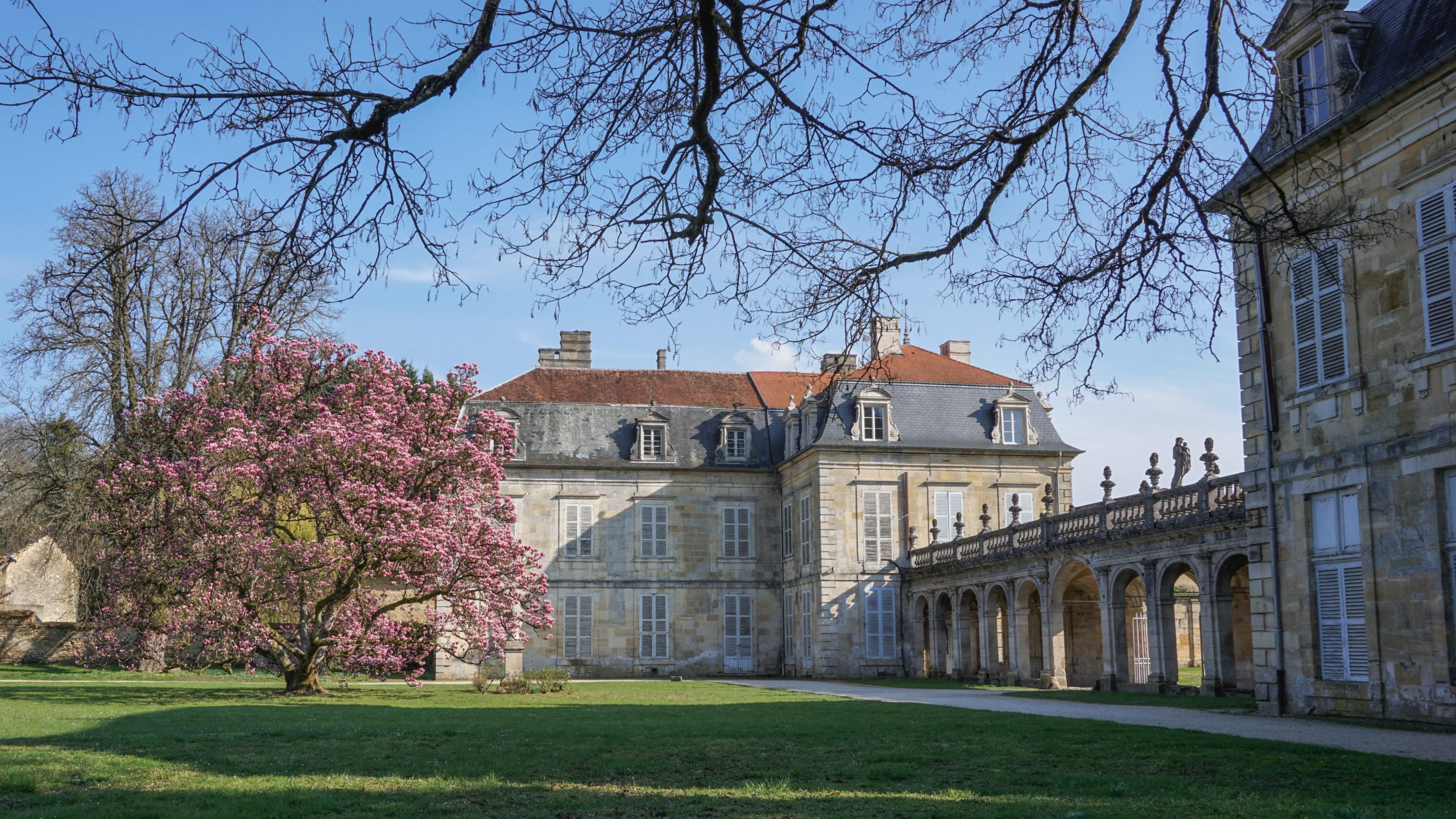
Also enjoy:

Already more than 200,000 users!