Uphill
135m
France > Grand Est > Vosges > Ballons des Vosges Regional Natural Park
Length
5km
Duration
1h30min
Elev gain
135m
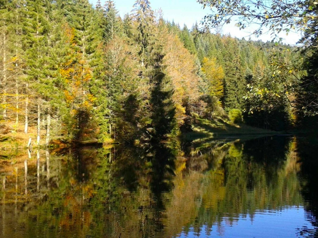
Starting from the Belbriette pond, this route runs along the stream of the same name and goes around the Belbriette peat bog. A family walk offering superb forest landscapes.

Already more than 200,000 users!
Uphill
135m
Highest point
882m
Downhill
135m
Lowest point
809m
Route type
Loop
Download the map on your smartphone to save battery and rest assured to always keep access to the route, even without signal.
Includes IGN France and Swisstopo.
I indicate whether dogs are allowed or prohibited on this trail
All year
2 ratings
Also enjoy:

Already more than 200,000 users!


