Uphill
334m
France > Grand Est > Vosges > Ballons des Vosges Regional Natural Park
Length
5km
Duration
2h30min
Elev gain
334m
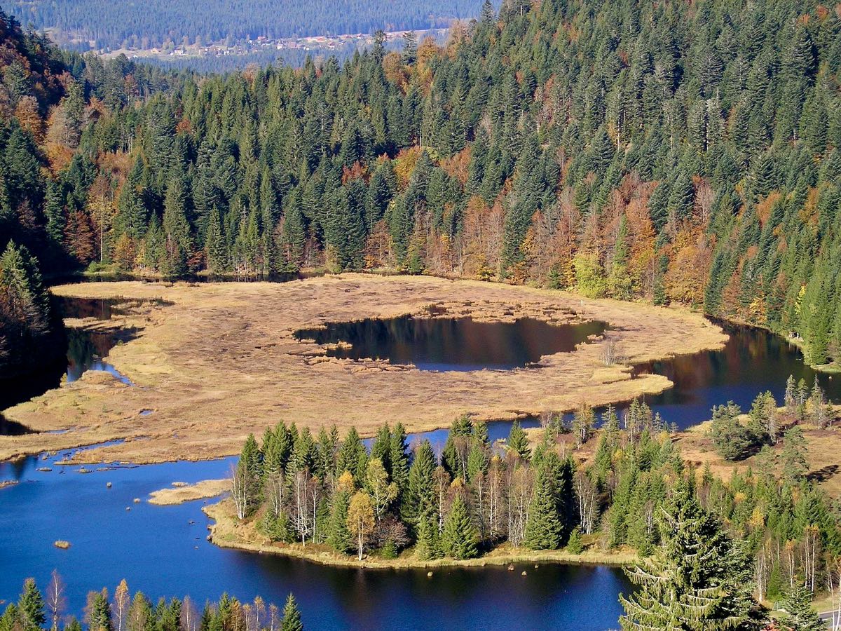
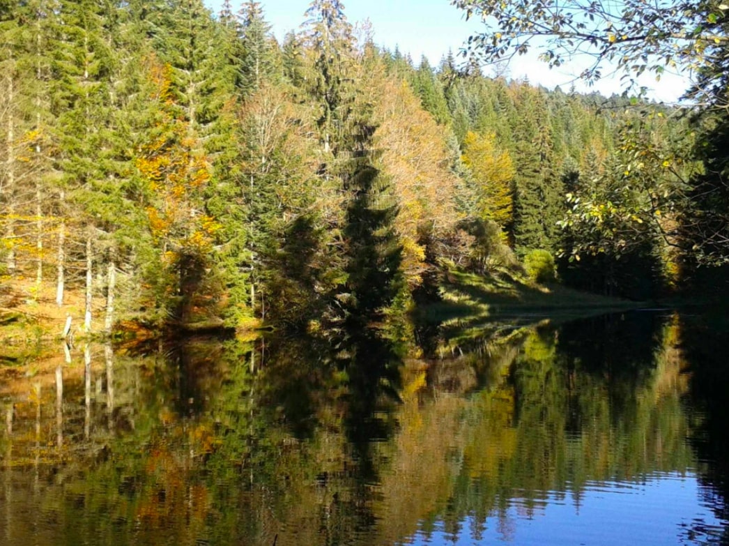
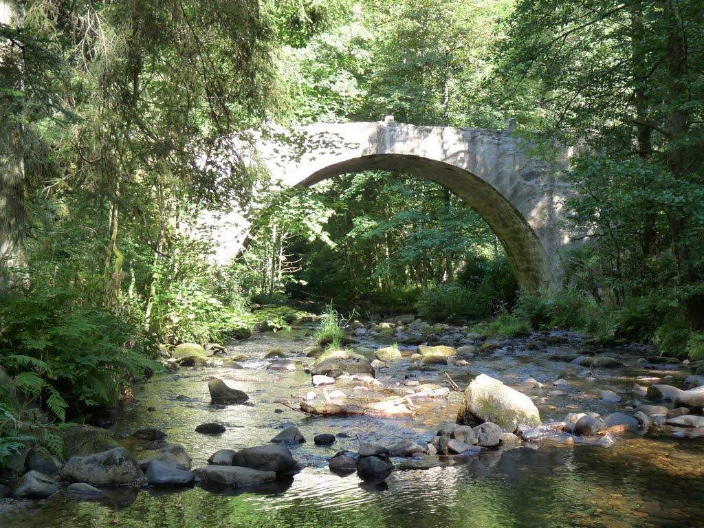
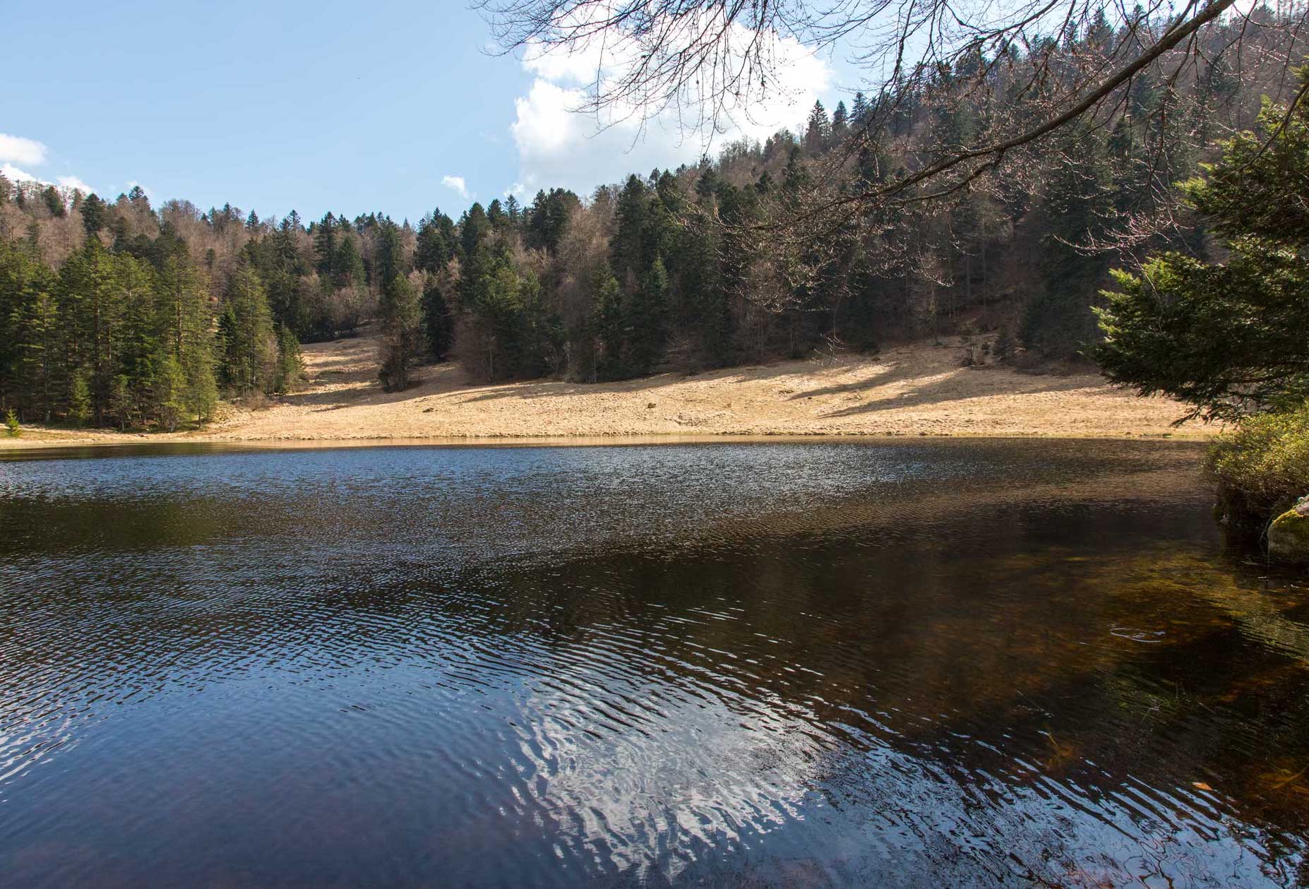
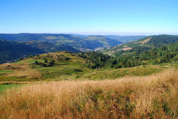
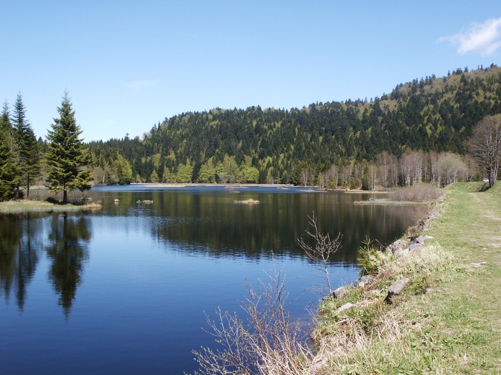
Challenging and popular hike near Xonrupt-Longemer, connecting two lakes: Lake Longemer and Lake Lispach. The route takes place in the forest and passes by an old copper mine then by the rock of the Old Horses. An outing with magnificent landscapes.

Already more than 200,000 users!
Uphill
334m
Highest point
1013m
Downhill
334m
Lowest point
745m
Route type
Loop
Download the map on your smartphone to save battery and rest assured to always keep access to the route, even without signal.
Includes IGN France and Swisstopo.
Authorised on a leash
Can be difficult in Winter
1 rating
Jolie randonnée. Lispach est un lac étonnant . Les couleurs sur les 2 lacs varient
Also enjoy:

Already more than 200,000 users!