Uphill
0m
France > Hauts-de-France > Somme > Regional Natural Park of Baie de Somme
Length
4km
Duration
1h
Elev gain
0m
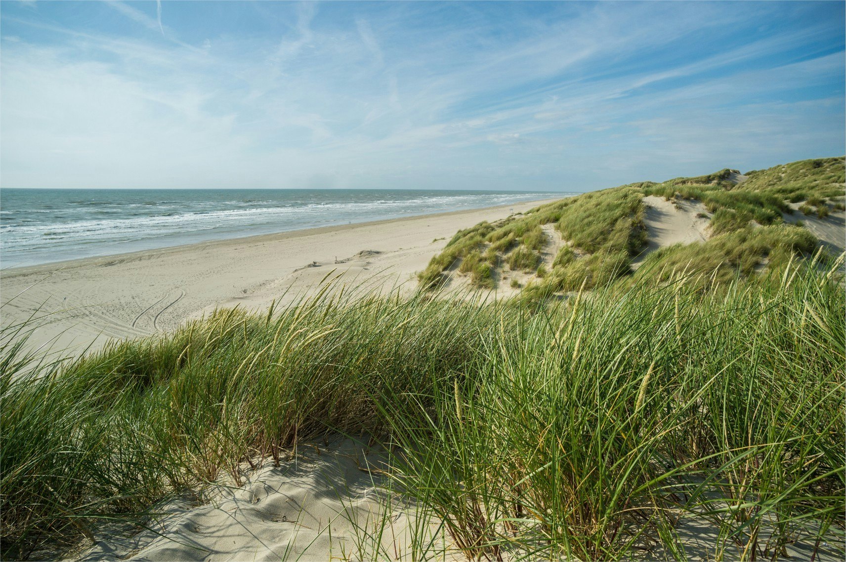
Walk in the bay between wetlands, dunes and beach. A breath of fresh air.
To do preferably at low tide.

Already more than 200,000 users!
Uphill
0m
Highest point
10m
Downhill
0m
Lowest point
1m
Route type
Loop
Download the map on your smartphone to save battery and rest assured to always keep access to the route, even without signal.
Includes IGN France and Swisstopo.
I indicate whether dogs are allowed or prohibited on this trail
All year
3 ratings
Jolie petite boucle dans un cadre naturel ! Le retour dans les dunes est vraiment très sympa.
Par contre on l’a effectuée après de fortes pluies, et le début du sentier était inondé - à tel point qu’on a dû enlever les chaussures, remonter les pantalons, et marcher dans une vingtaine de centimètres d’eau sur une centaine de mètres… ça nous fait de beaux souvenirs, mais avec des enfants ça aurait été compliqué !
Also enjoy:

Already more than 200,000 users!


