Uphill
88m
Length
10km
Duration
2h30min
Elev gain
88m
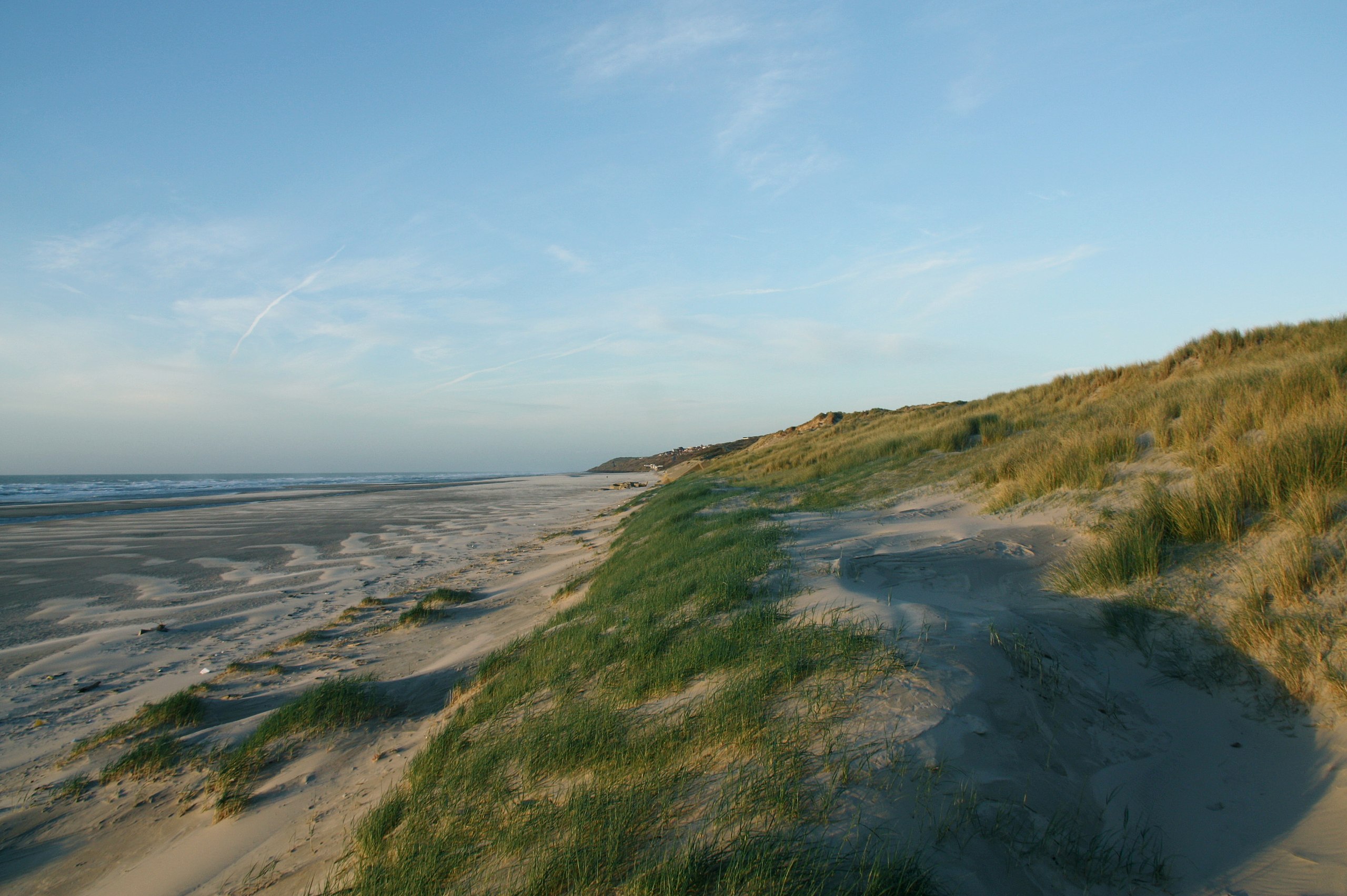
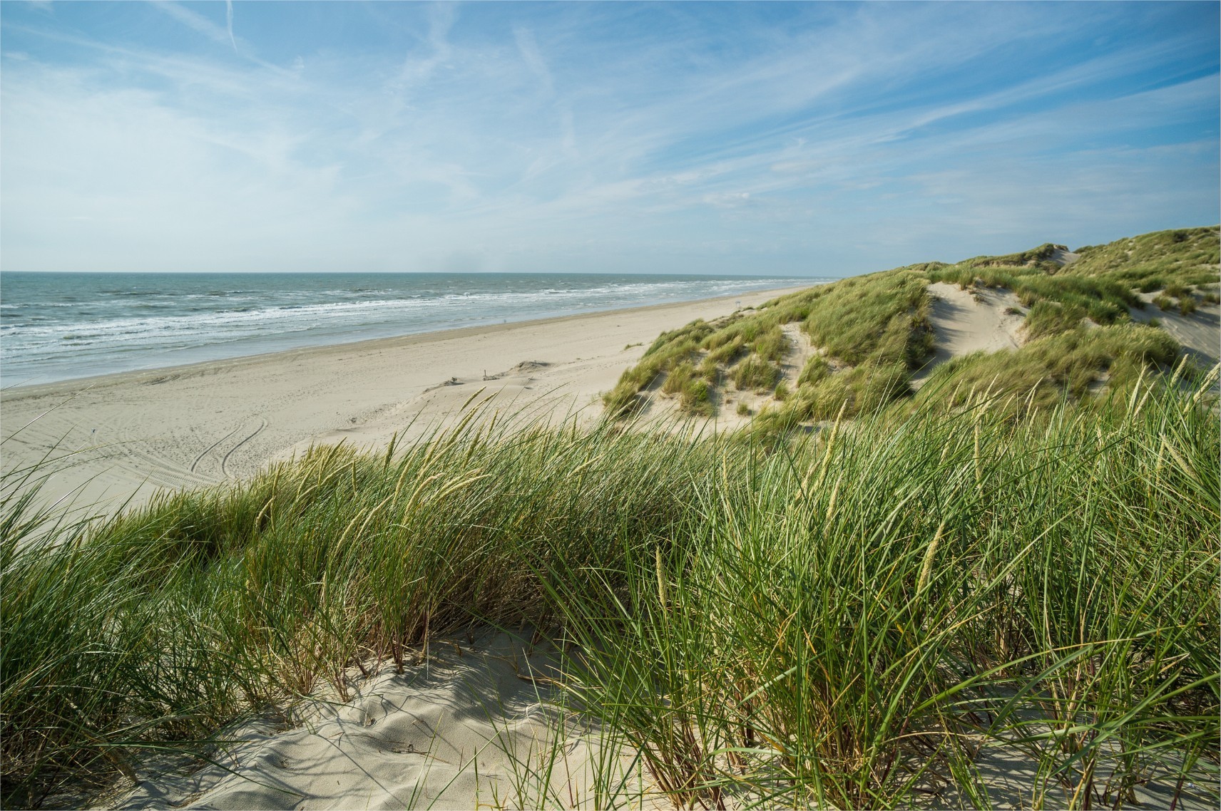
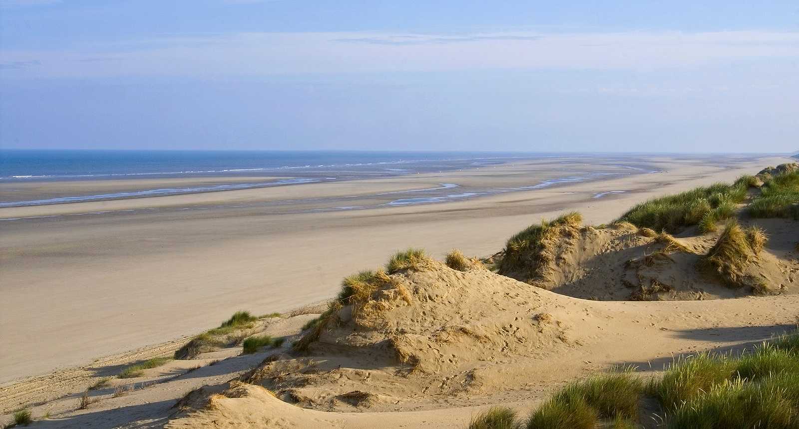
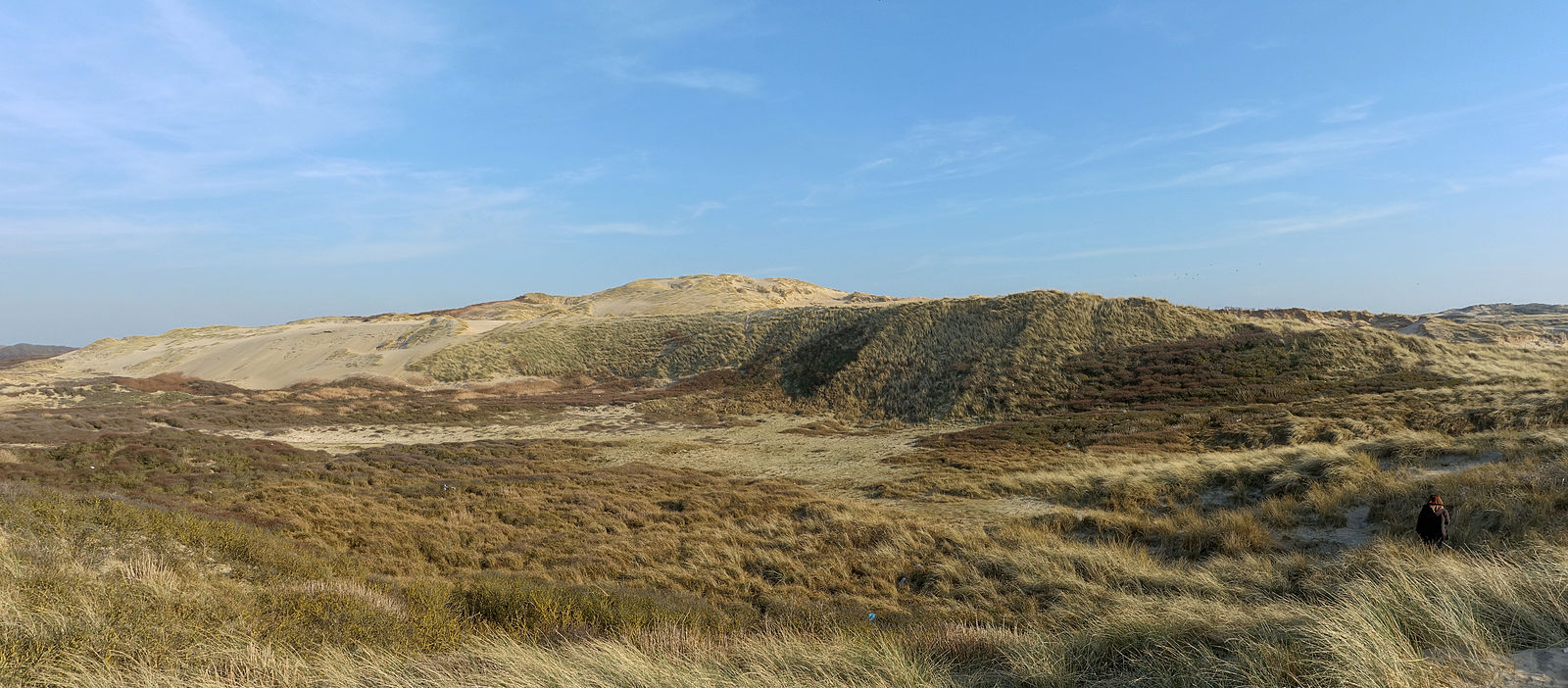
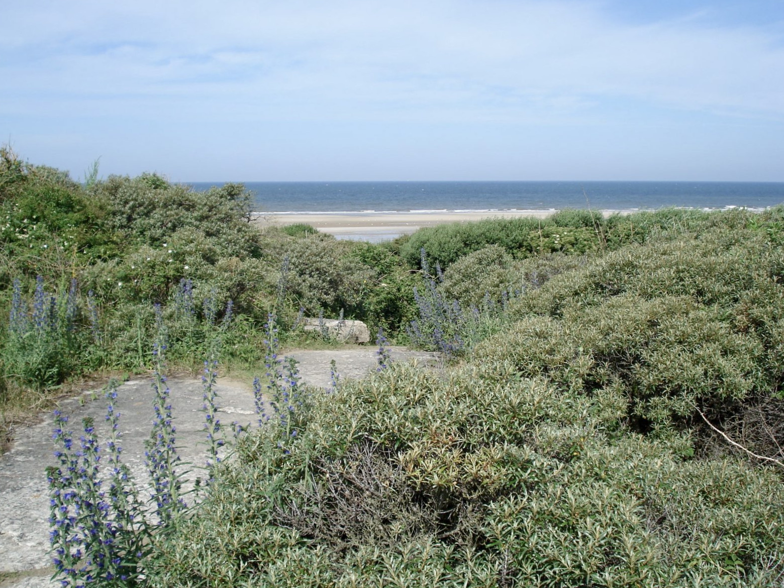
Stroll in the heart of the natural reserve of the bay of Canche, which shelters a rich biodiversity. The trail first runs along a wetland by the river, before rising and offering a beautiful view of the surroundings.

Already more than 200,000 users!
Uphill
88m
Highest point
78m
Downhill
88m
Lowest point
5m
Route type
Loop
Download the map on your smartphone to save battery and rest assured to always keep access to the route, even without signal.
Includes IGN France and Swisstopo.
I indicate whether dogs are allowed or prohibited on this trail
All year
0 ratings
Also enjoy:

Already more than 200,000 users!