Uphill
66m
France > Hauts-de-France > Somme > Regional Natural Park of Baie de Somme
Length
16km
Duration
4h
Elev gain
66m
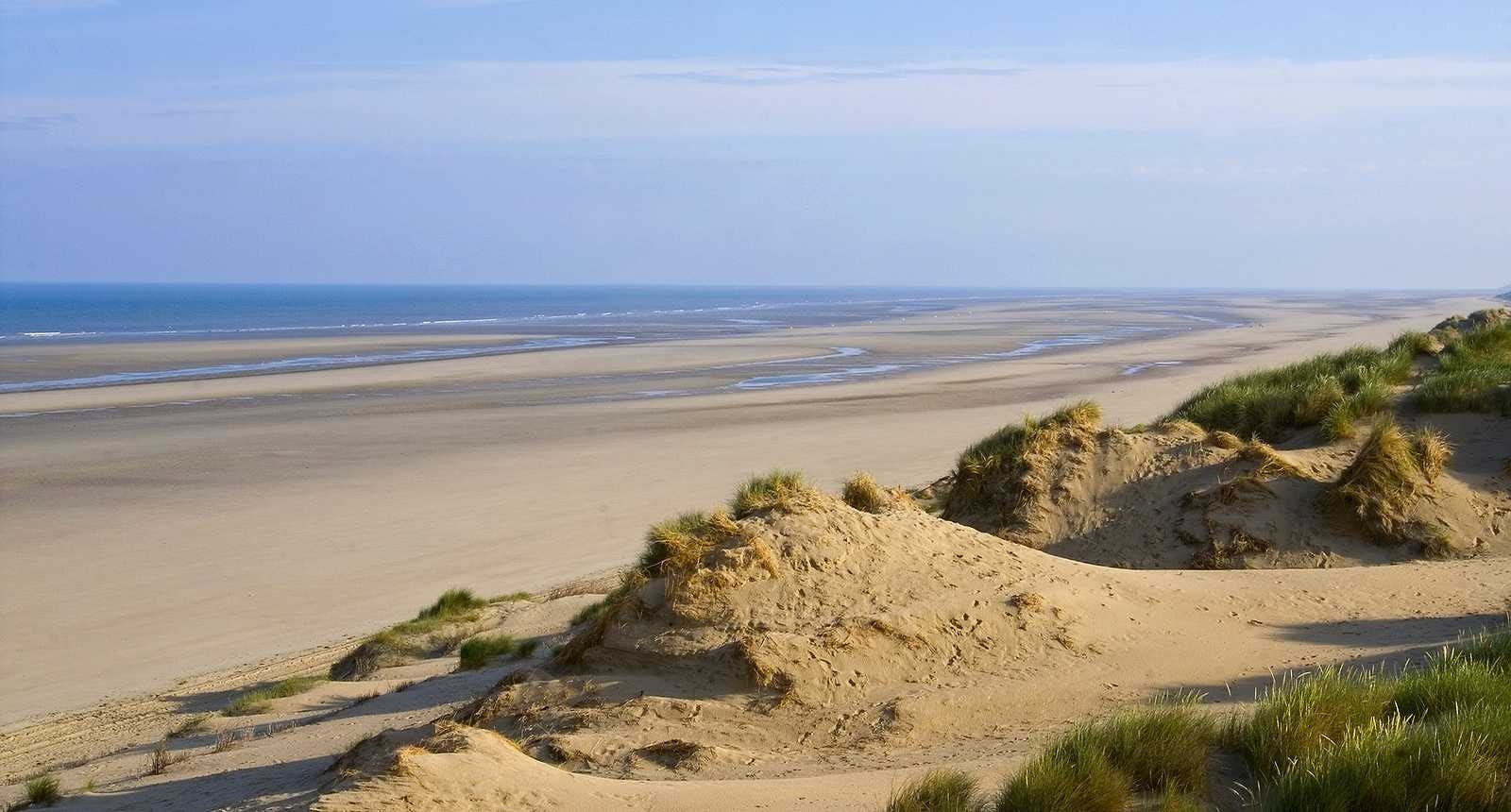
This is a hike in the unspoiled nature of Marquenterre. A path crosses a pine forest, before winding between the dunes and then arriving on a large wild beach. Best done at low tide.
Unfortunately, the return inland takes several roads and tracks.

Already more than 200,000 users!
Uphill
66m
Highest point
36m
Downhill
66m
Lowest point
4m
Route type
Loop
Download the map on your smartphone to save battery and rest assured to always keep access to the route, even without signal.
Includes IGN France and Swisstopo.
I indicate whether dogs are allowed or prohibited on this trail
All year
3 ratings
Calme sérénités beauté ❤️
Mais le courage dois être de mise car les 3/4 des 16km ce fais sur des chemins de sable et prévoir plus 5-6h
Mais le résultat en vaut la peine
Ma balade préférée autour de la baie de Somme. Le Merquenterre est un vaste espace préservé, où l’on se sent réellement loin de toute civilisation.
Un peu fatiguant à la longue car on marche essentiellement sur du sable, mais les vastes étendues de dunes méritent le détour.
Also enjoy:

Already more than 200,000 users!


