Uphill
220m
Length
13km
Duration
4h
Elev gain
220m
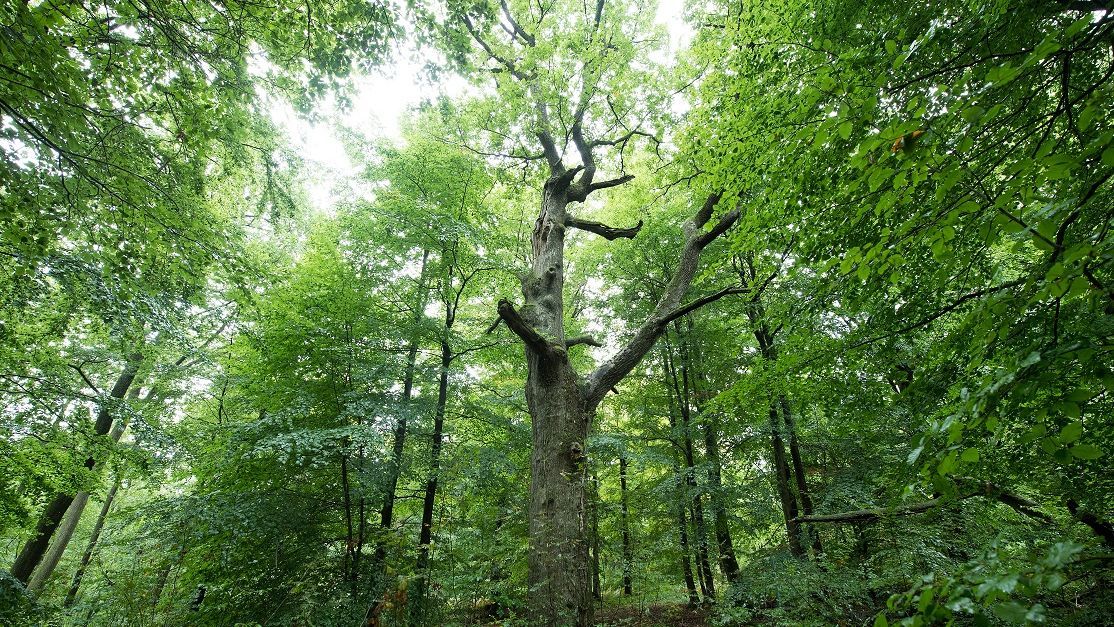
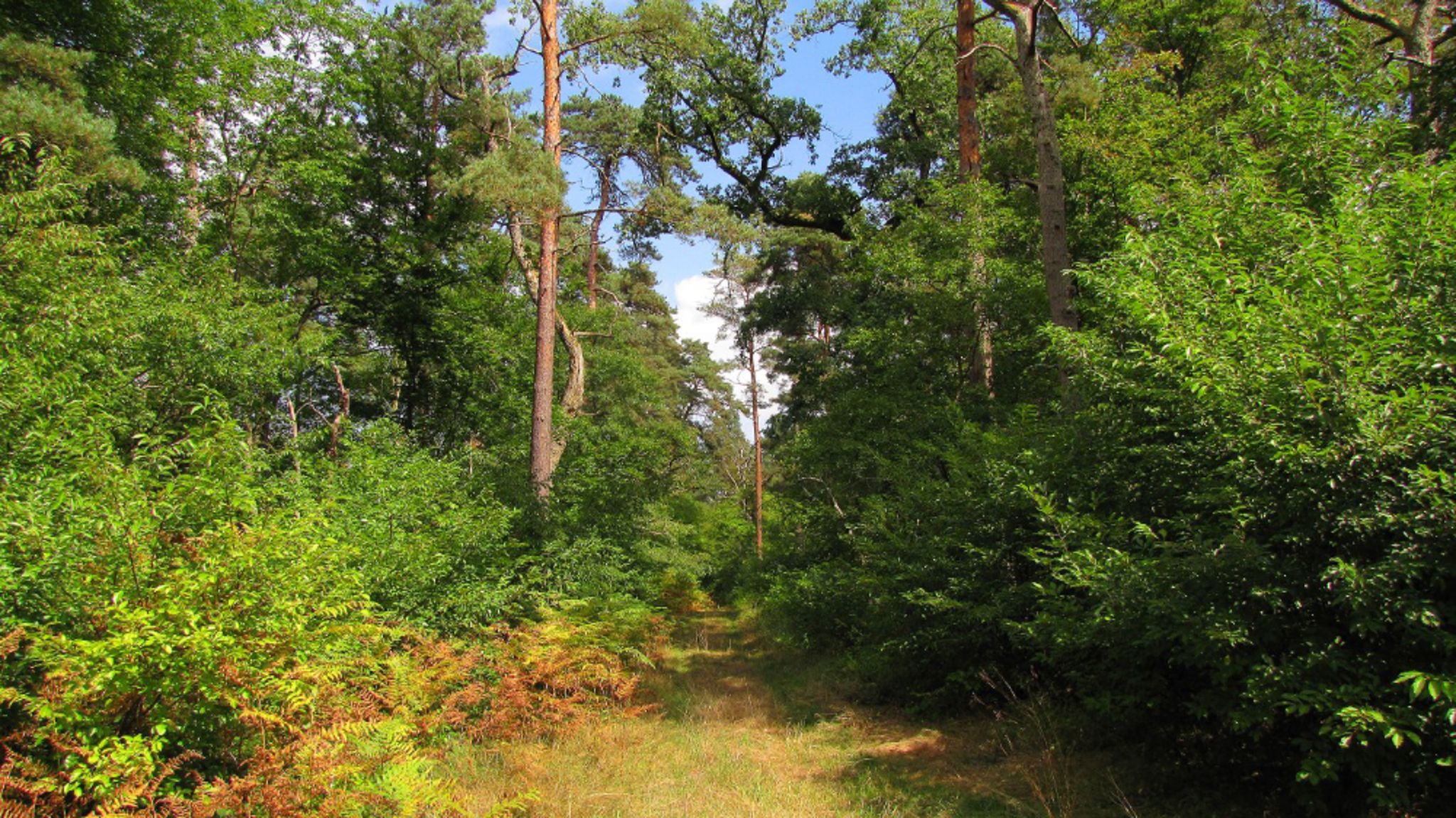
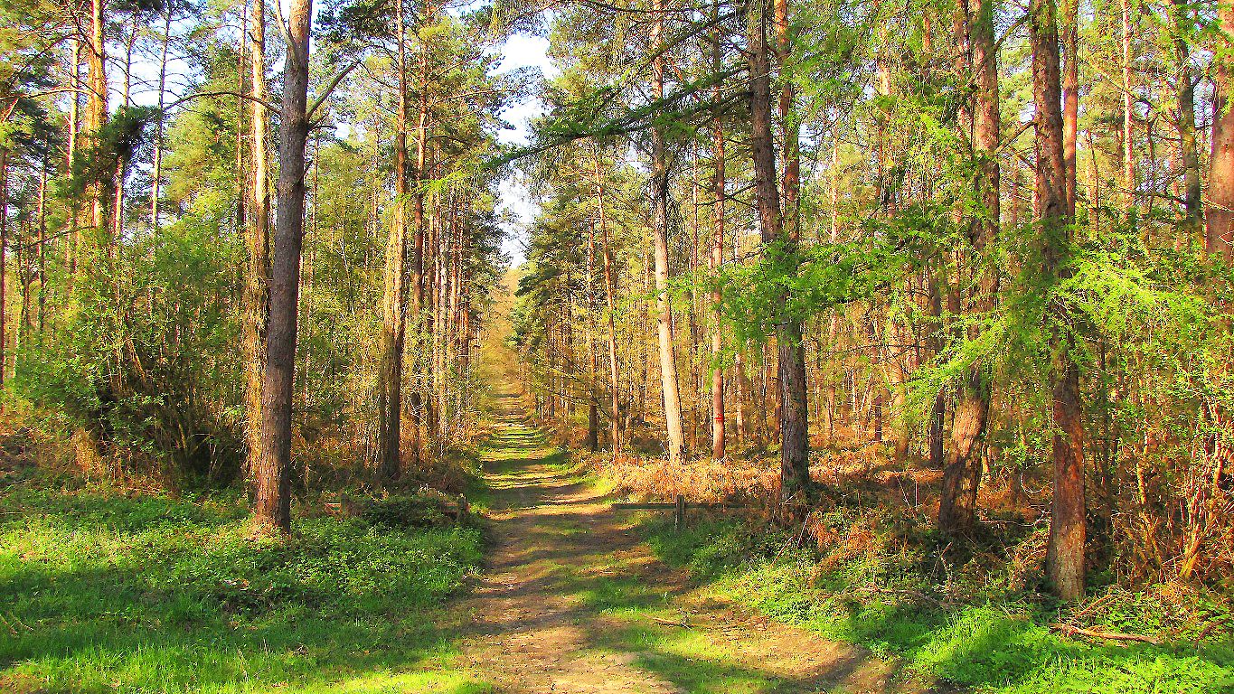
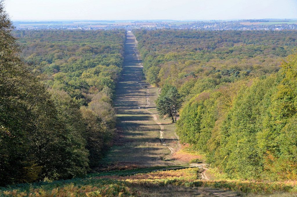
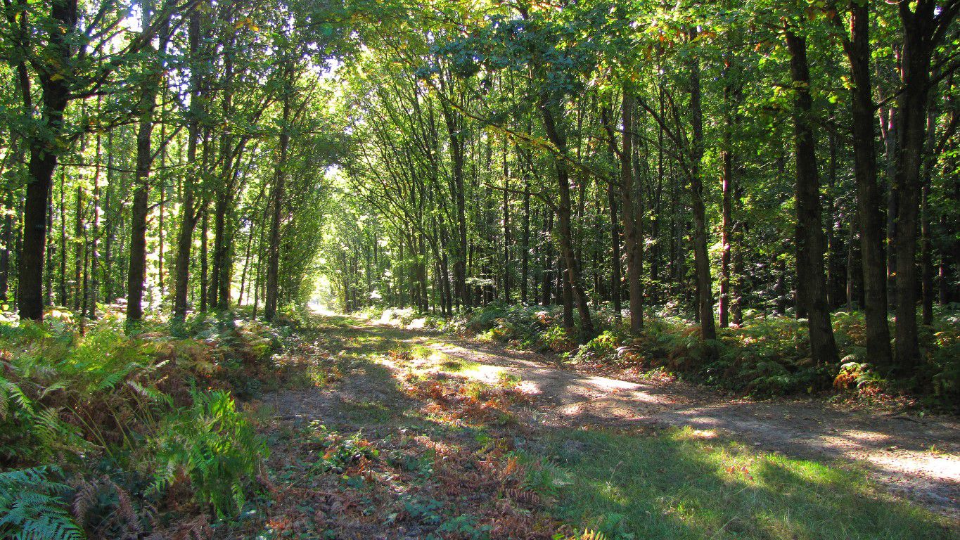
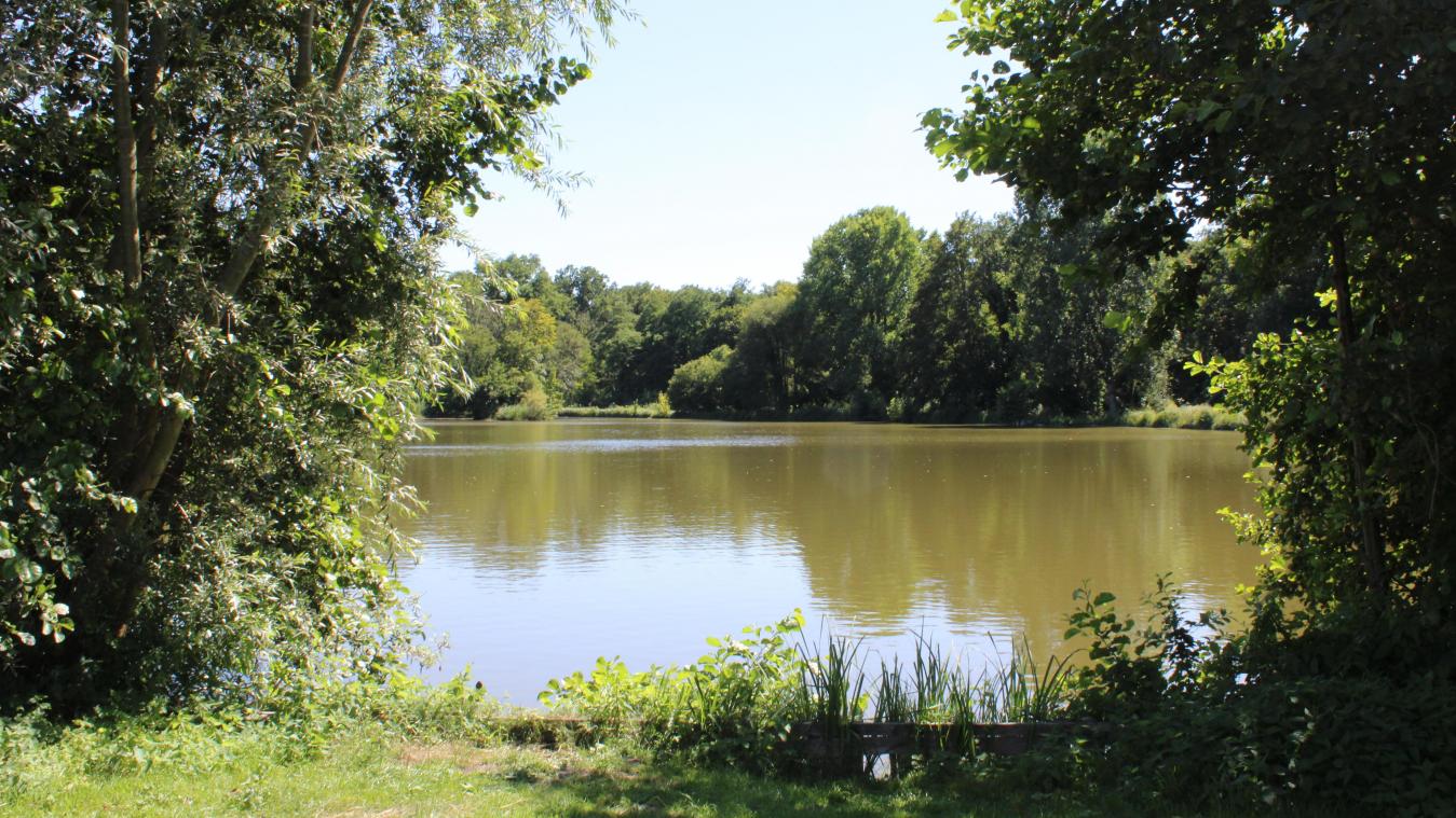
Here is a walk in the forest of Compiègne starting from Vieux-Moulin. The trail passes through the summits of Mont Saint-Pierre (127 m) and Collet (126 m), and passes through the ponds of Rouillie and Saint-Pierre.

Already more than 200,000 users!
Uphill
220m
Highest point
136m
Downhill
220m
Lowest point
38m
Route type
Loop
Download the map on your smartphone to save battery and rest assured to always keep access to the route, even without signal.
Includes IGN France and Swisstopo.
I indicate whether dogs are allowed or prohibited on this trail
All year
1 rating
Also enjoy:

Already more than 200,000 users!