Uphill
162m
Length
10km
Duration
3h
Elev gain
162m
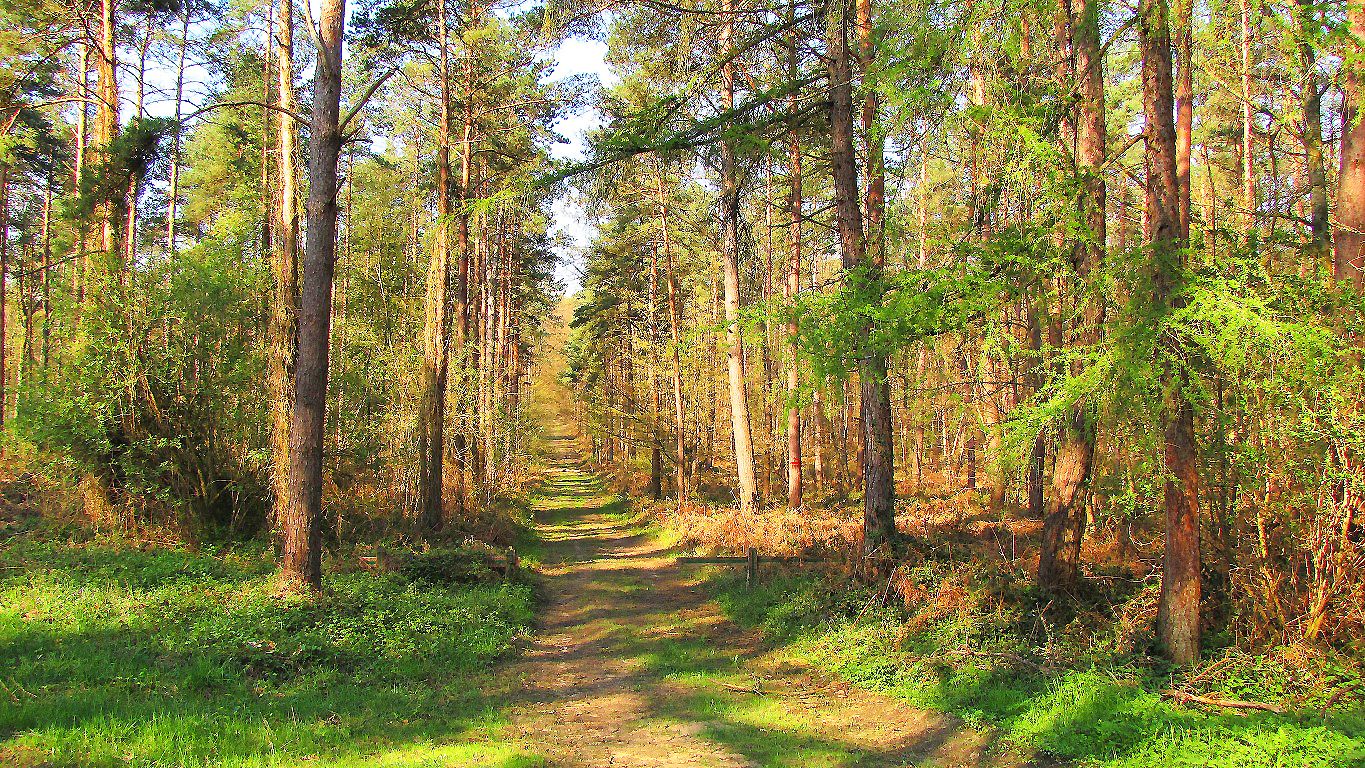
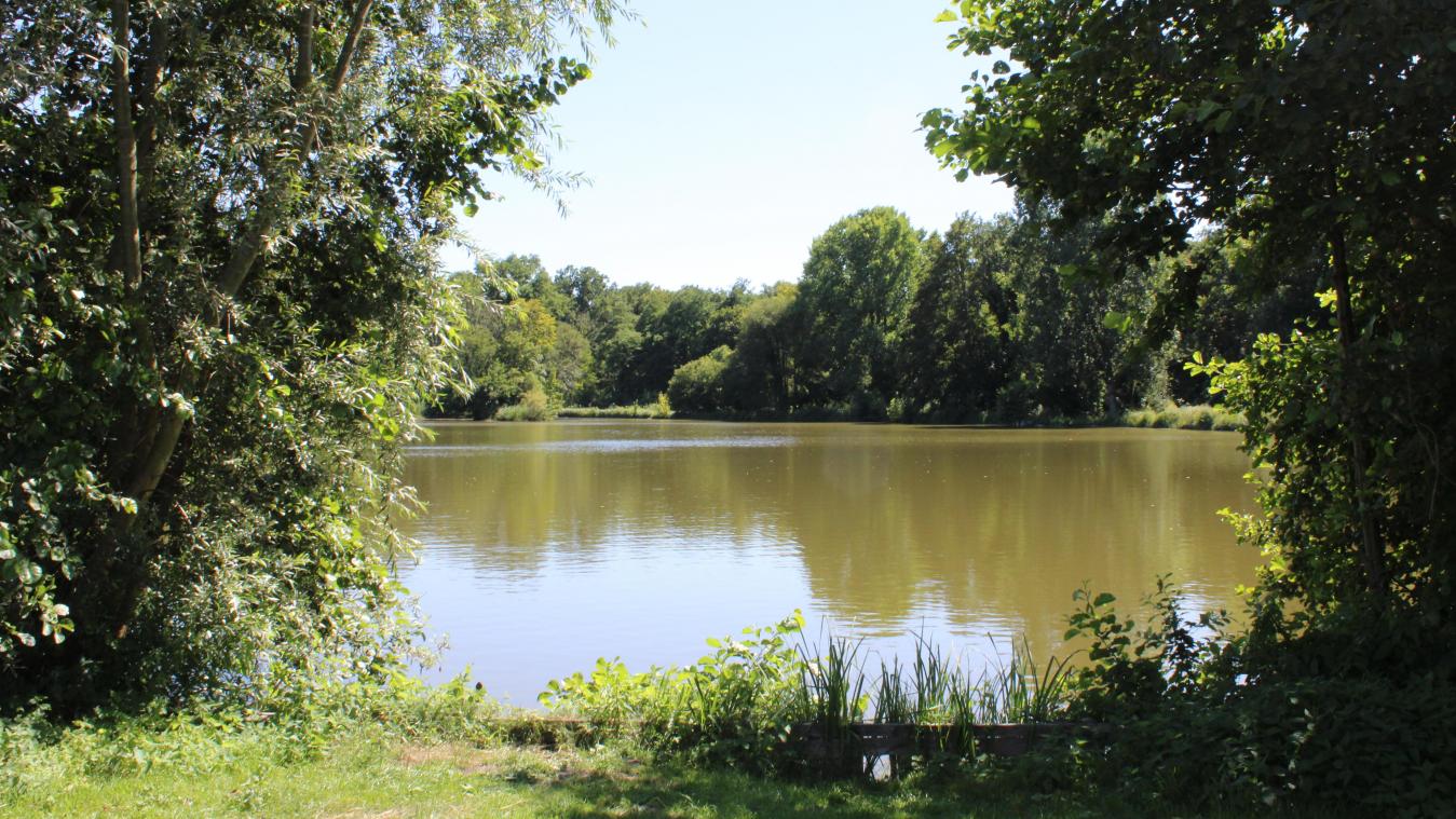
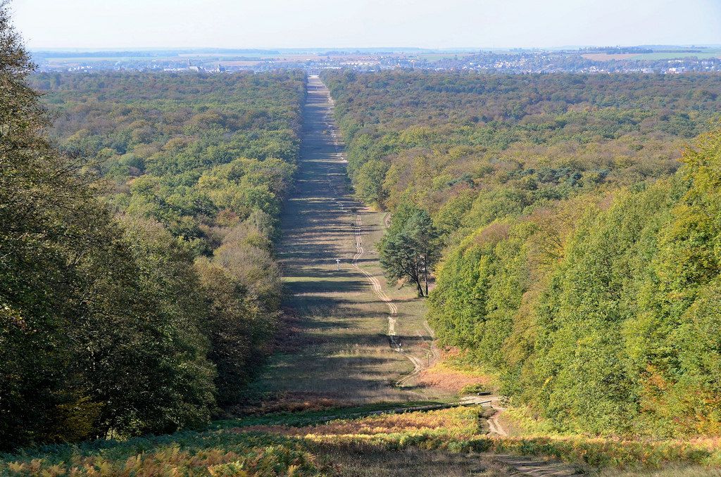
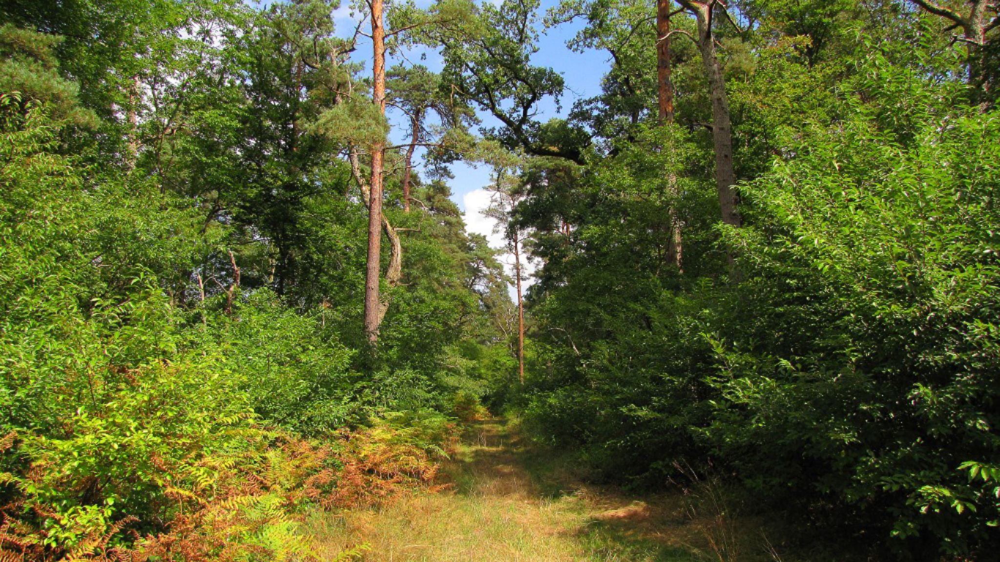
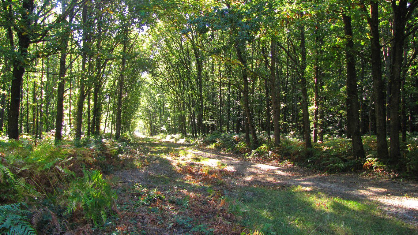
Departing from the clairière de l'Armistice, this loop runs along the Aisne before leading to a beautiful perspective on the castle of Compiègne.

Already more than 200,000 users!
Uphill
162m
Highest point
139m
Downhill
162m
Lowest point
20m
Route type
Loop
Download the map on your smartphone to save battery and rest assured to always keep access to the route, even without signal.
Includes IGN France and Swisstopo.
I indicate whether dogs are allowed or prohibited on this trail
All year
1 rating
Balade sympa en forêt
Also enjoy:

Already more than 200,000 users!