Uphill
166m
Length
12km
Duration
3h30min
Elev gain
166m
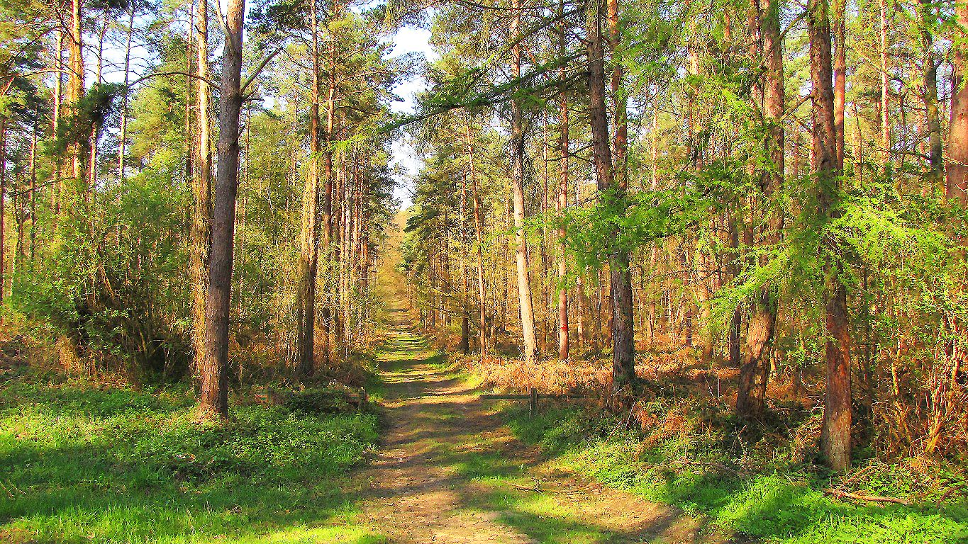
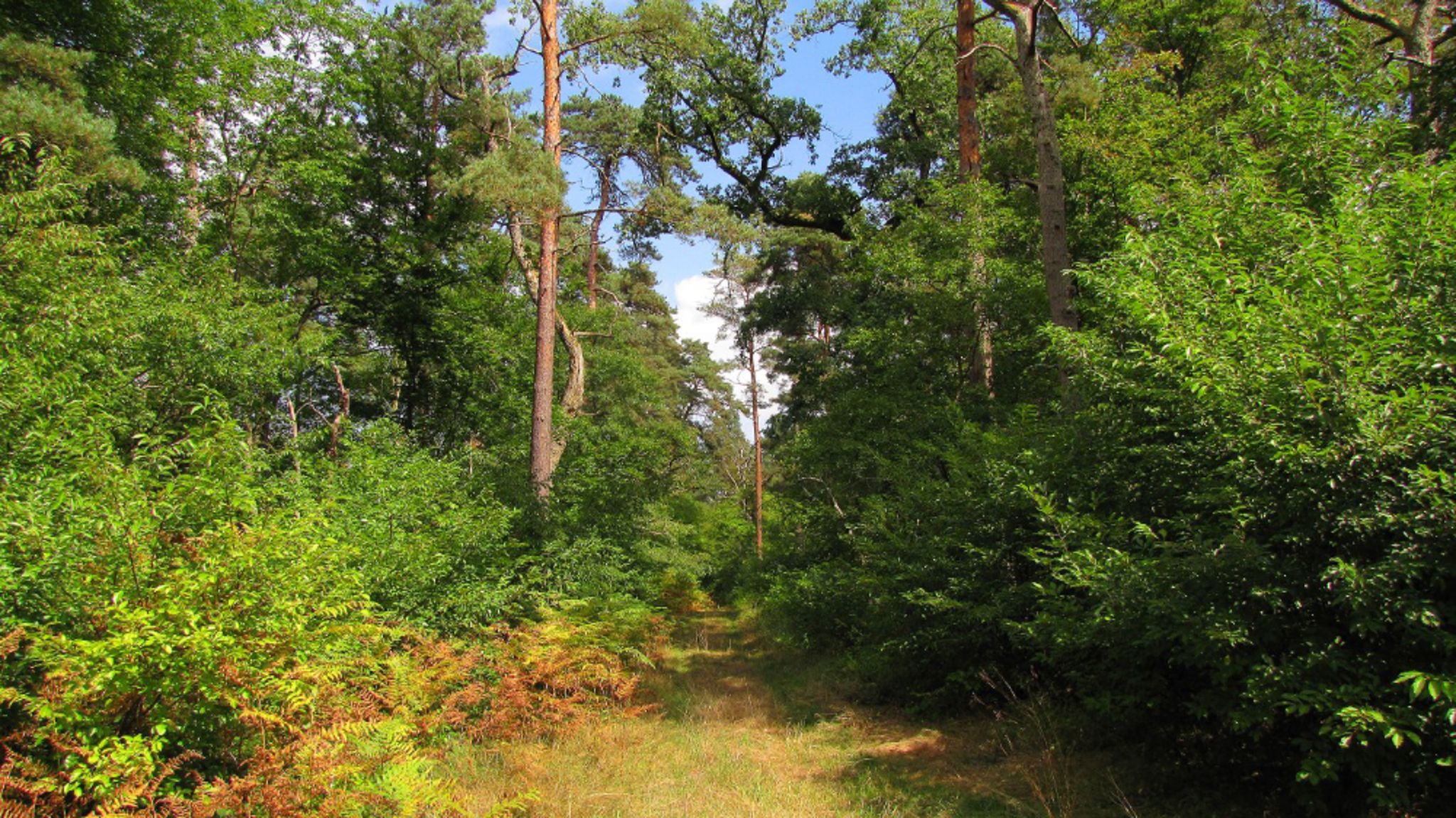
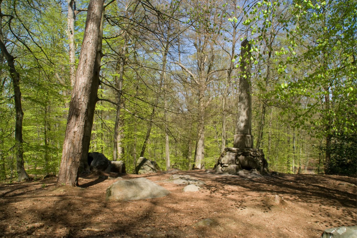
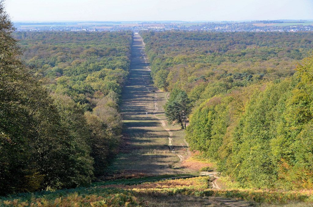
Leaving from the castle, this is a walk through the Compiègne forest which allows you to enjoy the beautiful alignment of the Beaux-Monts alley.

Already more than 200,000 users!
Uphill
166m
Highest point
139m
Downhill
166m
Lowest point
30m
Route type
Loop
Download the map on your smartphone to save battery and rest assured to always keep access to the route, even without signal.
Includes IGN France and Swisstopo.
Free parking next ot the Compiègne castle.
Compiègne station is about one kilometre away.
I indicate whether dogs are allowed or prohibited on this trail
All year
1 rating
Also enjoy:

Already more than 200,000 users!