Uphill
263m
France > Île-de-France > Yvelines > Haute Vallée de Chevreuse Regional Natural Park
Length
15km
Duration
4h30min
Elev gain
263m
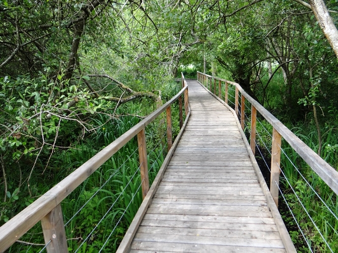
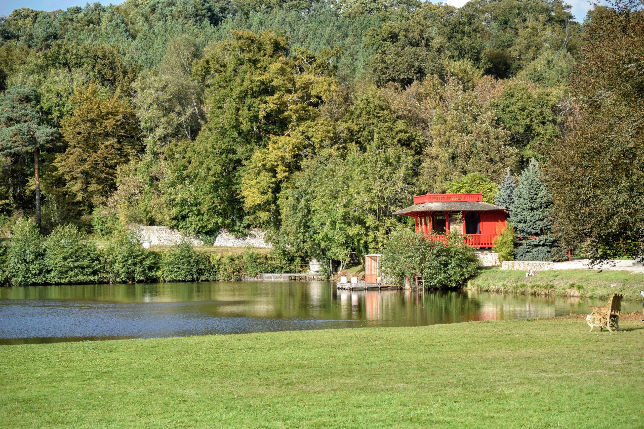
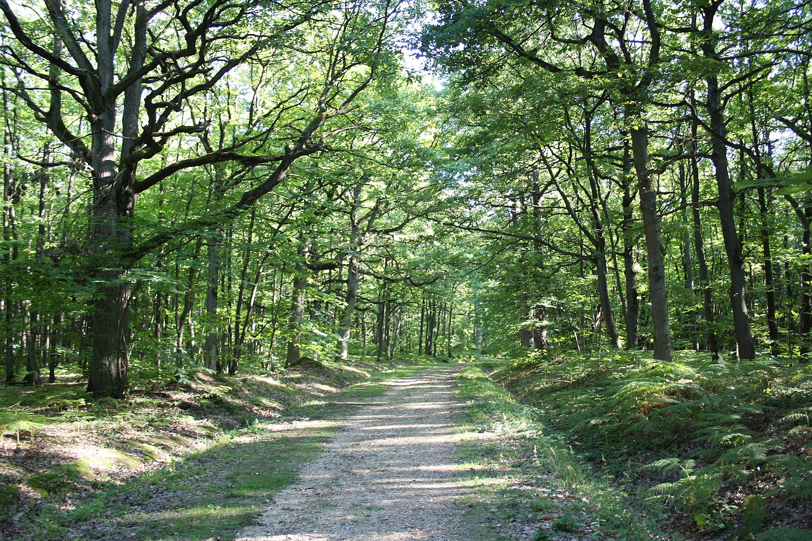
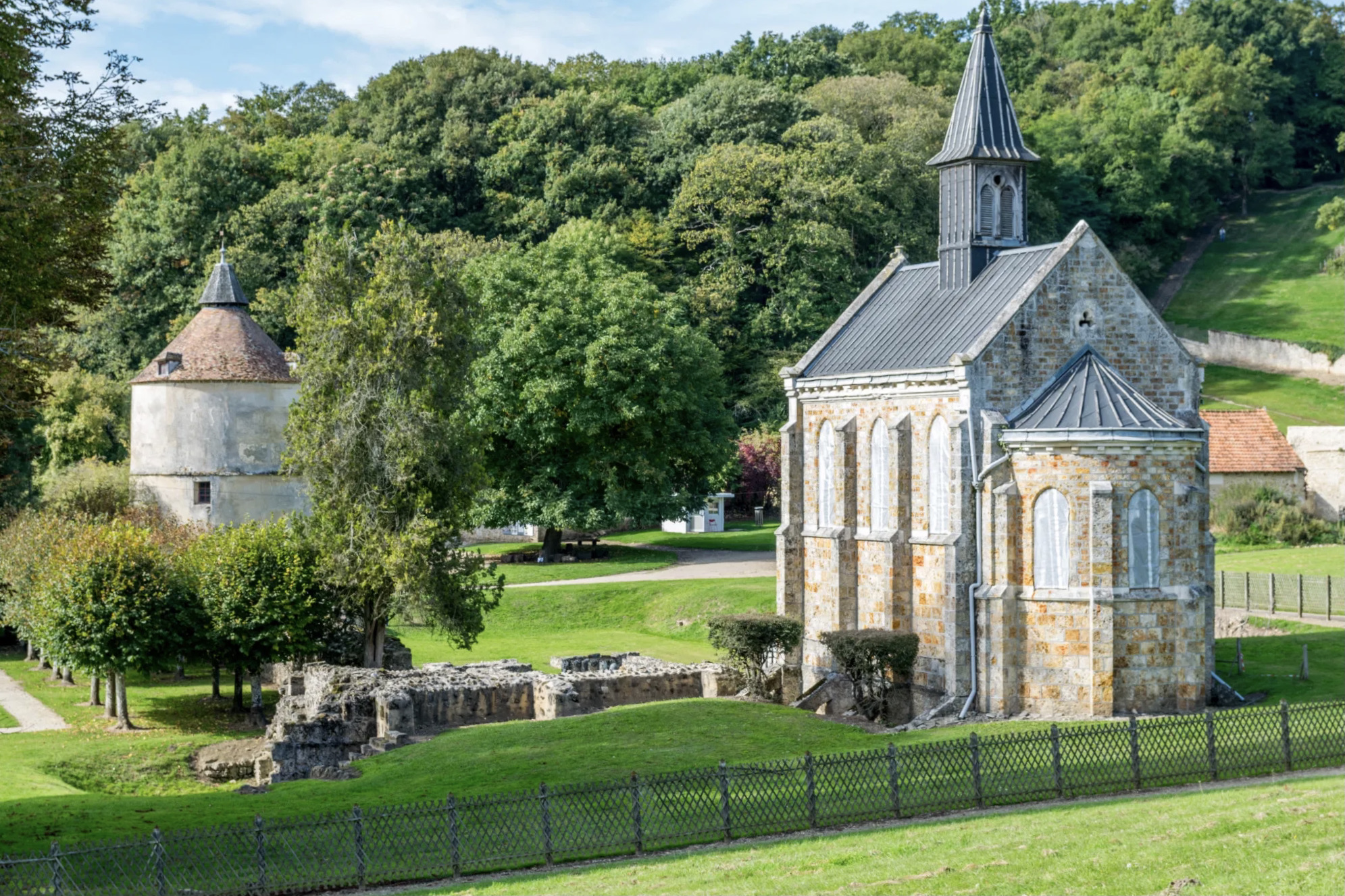
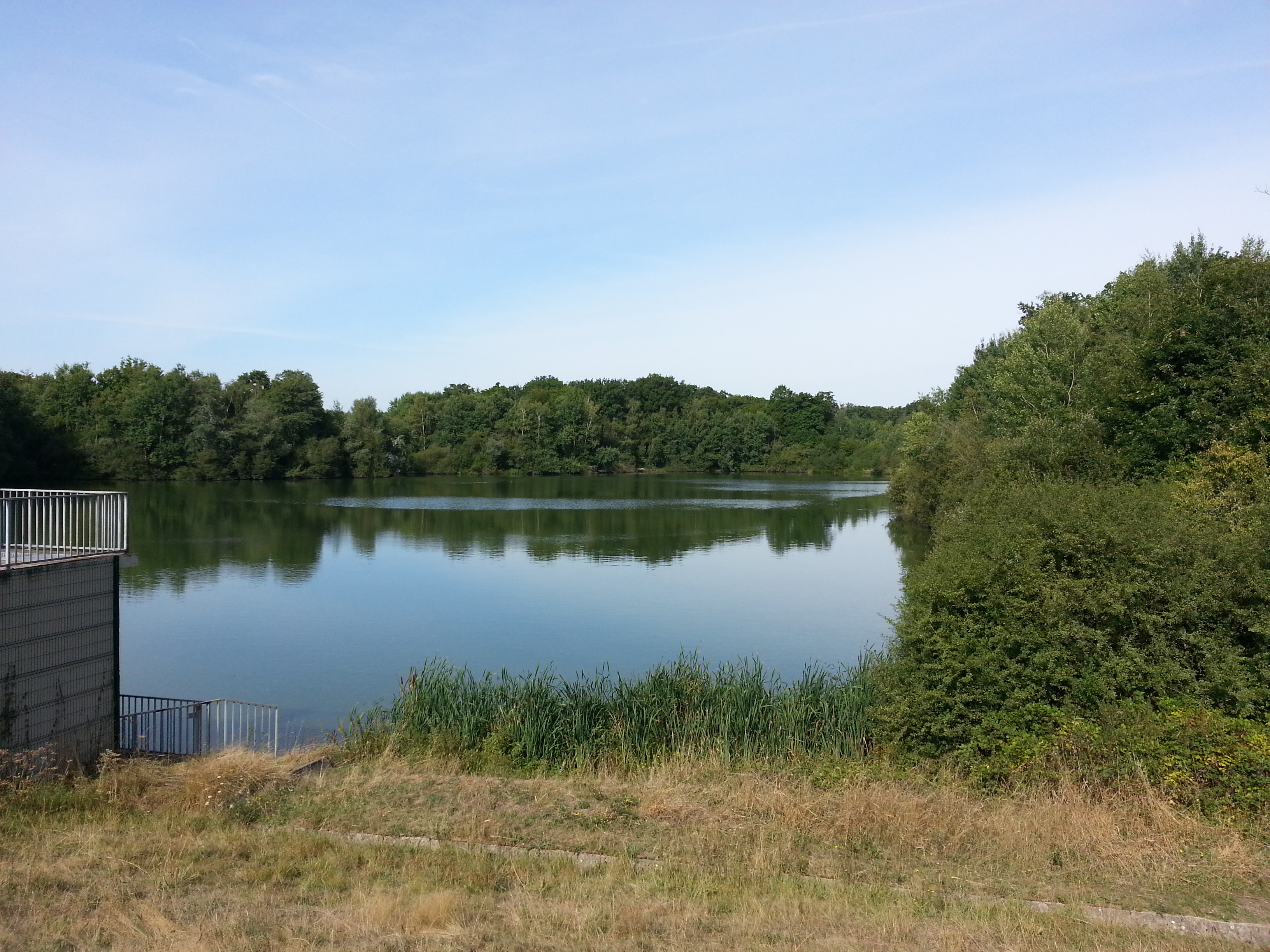
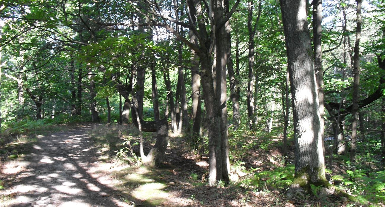
Starting from Dampierre castle in the village of Dampierre-en-Yveline, this trail presents a beautiful variety of landscapes between forests, fields and hamlets.

Already more than 200,000 users!
Uphill
263m
Highest point
180m
Downhill
263m
Lowest point
83m
Route type
Loop
Download the map on your smartphone to save battery and rest assured to always keep access to the route, even without signal.
Includes IGN France and Swisstopo.
I indicate whether dogs are allowed or prohibited on this trail
All year
2 ratings
Also enjoy:

Already more than 200,000 users!