Uphill
124m
Length
13km
Duration
3h30min
Elev gain
124m
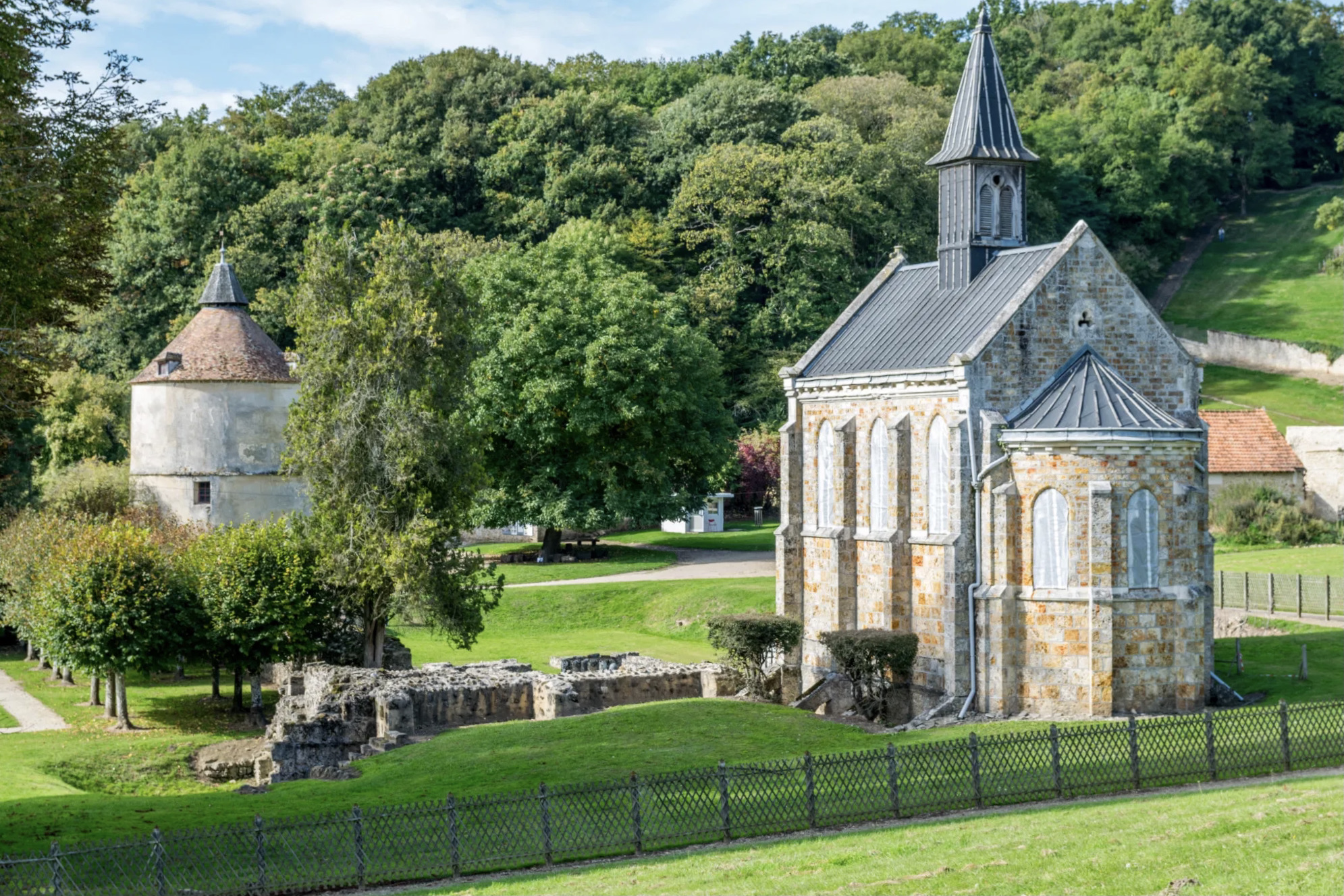
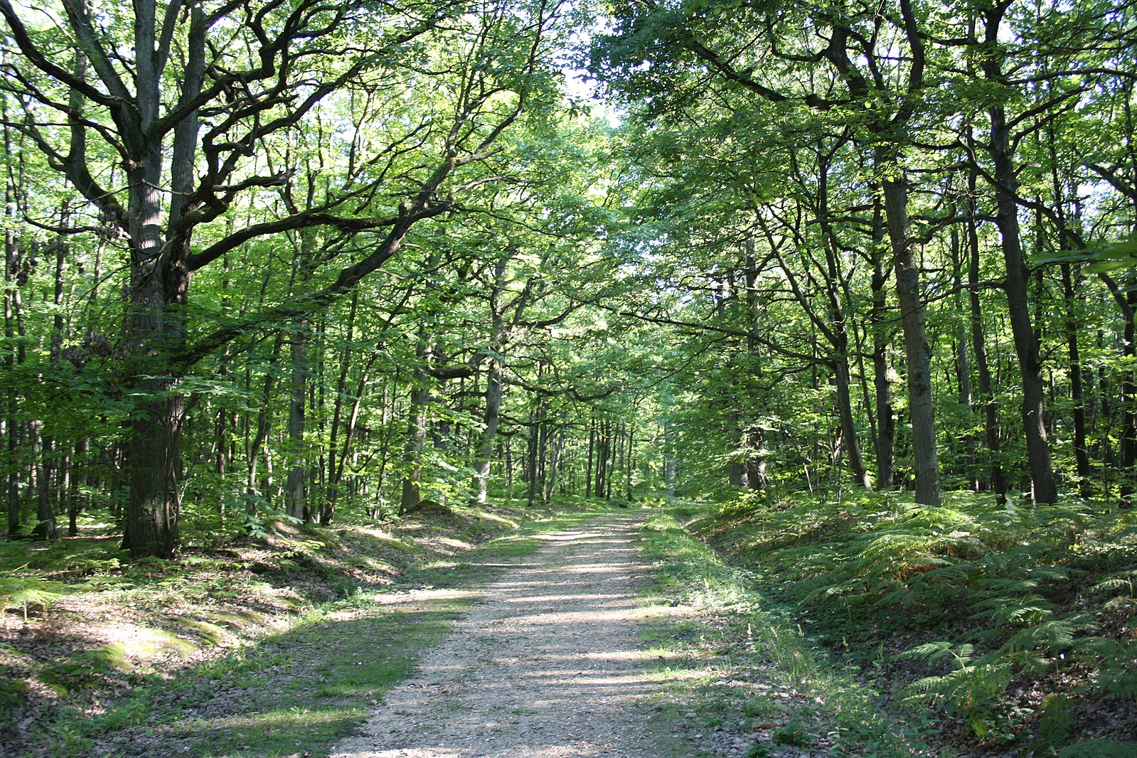
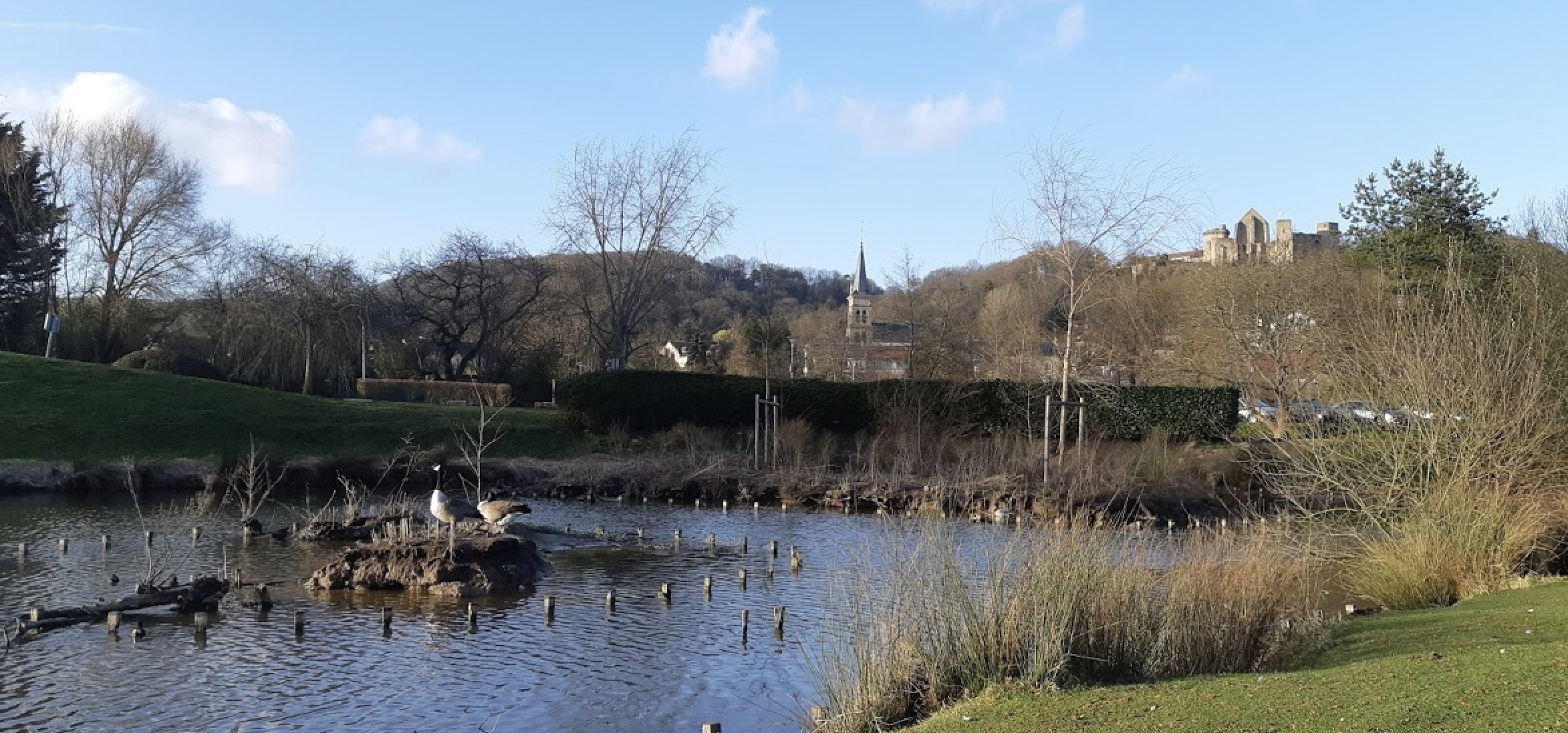
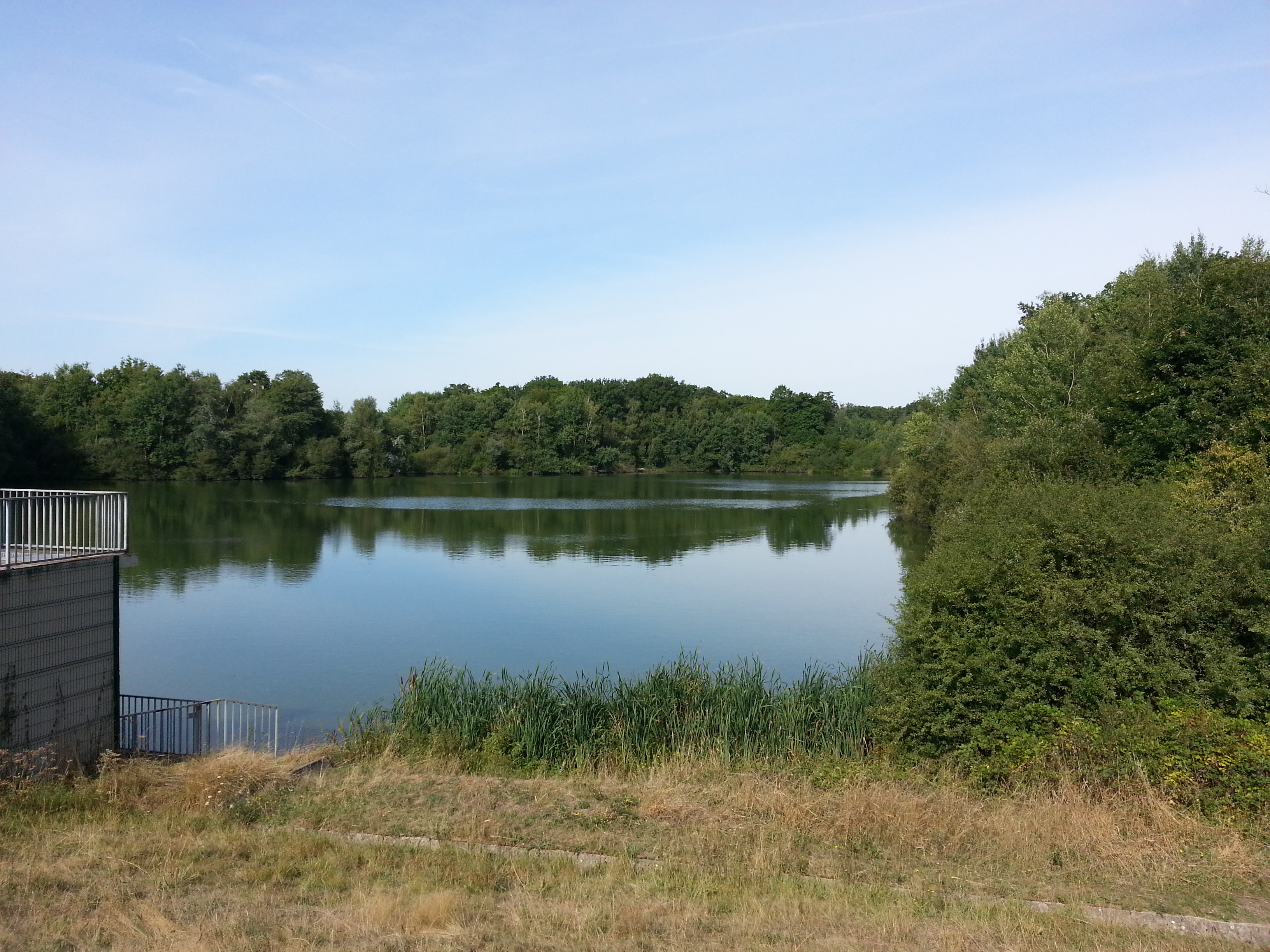
Peaceful trail through the Bois de la Garenne, leading to the pond of Manet then taking the straight paths of the forest of Port-Royal.

Already more than 200,000 users!
Uphill
124m
Highest point
190m
Downhill
124m
Lowest point
135m
Route type
Loop
Download the map on your smartphone to save battery and rest assured to always keep access to the route, even without signal.
Includes IGN France and Swisstopo.
I indicate whether dogs are allowed or prohibited on this trail
All year
0 ratings
Also enjoy:

Already more than 200,000 users!