Uphill
139m
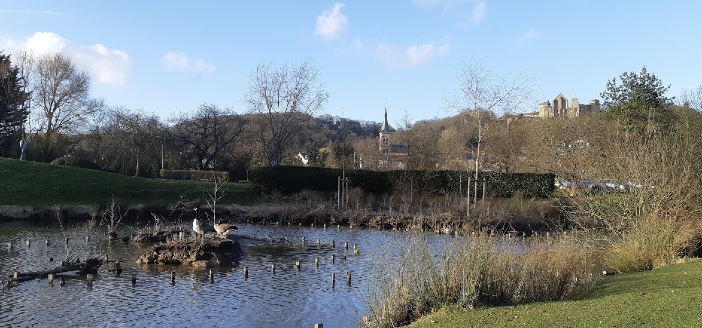
France > Île-de-France > Yvelines > Haute Vallée de Chevreuse Regional Natural Park
Length
8km
Duration
2h30min
Elev gain
139m
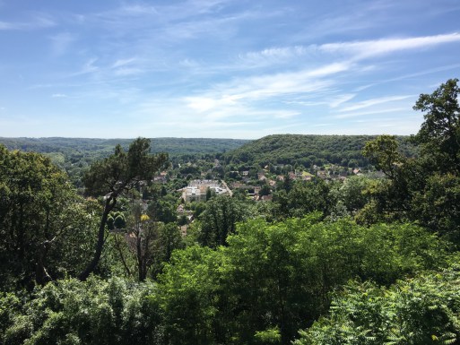
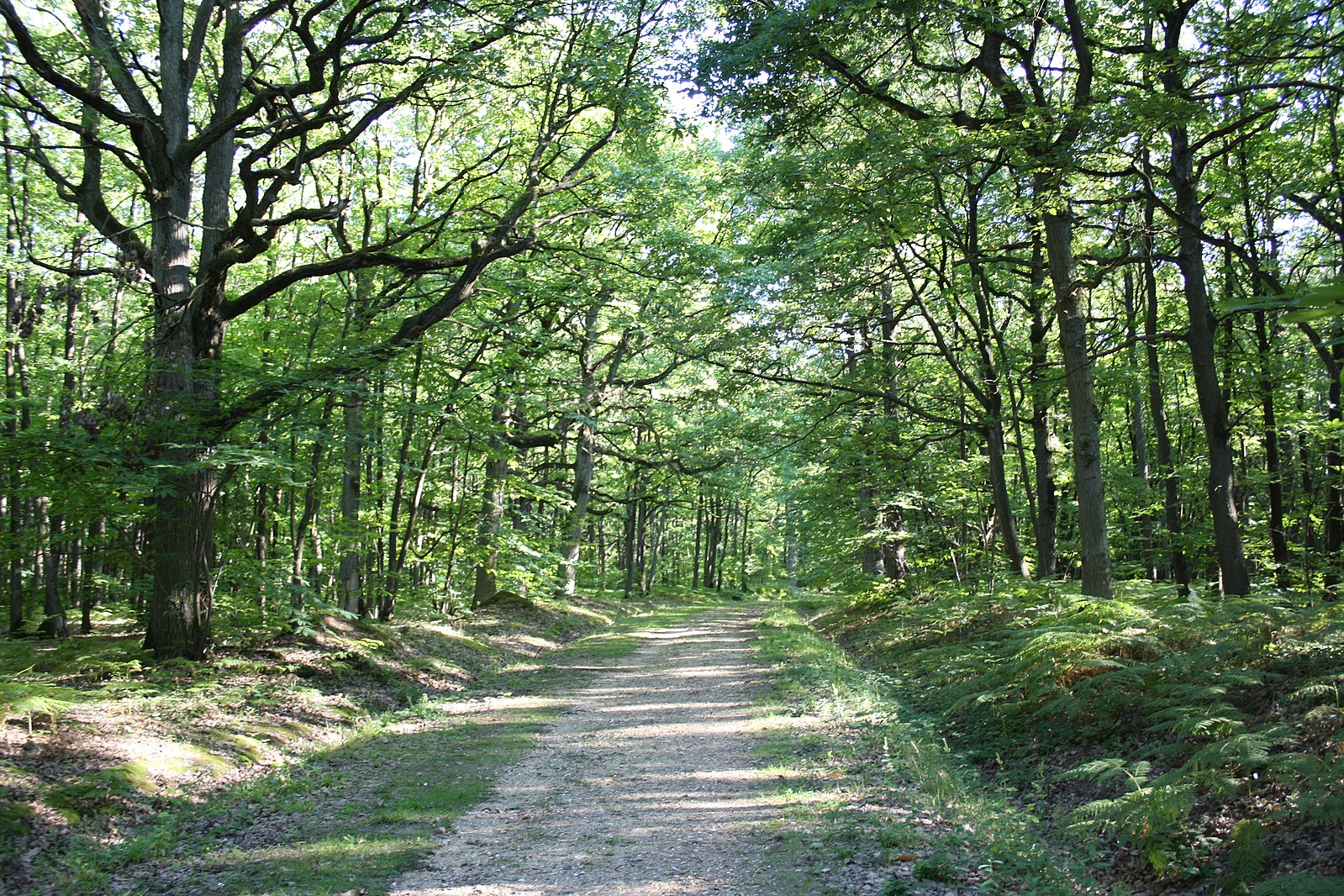
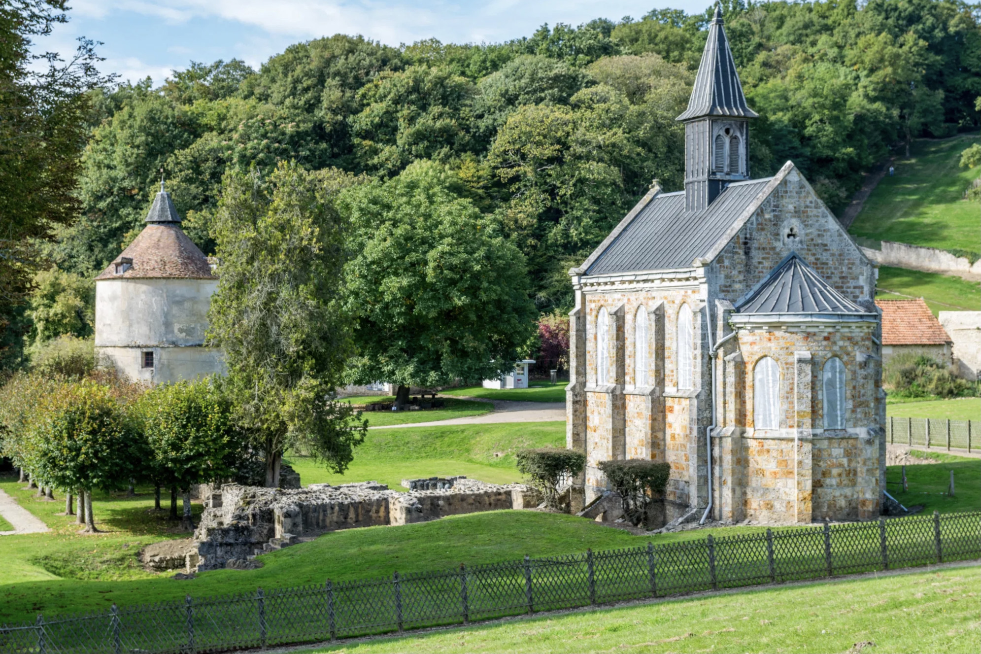
Walk along the Yvette and in the Bois de Chevreuse. Possible detour by the castle of Méridon.

Already more than 200,000 users!
Uphill
139m
Highest point
186m
Downhill
139m
Lowest point
69m
Route type
Loop
Download the map on your smartphone to save battery and rest assured to always keep access to the route, even without signal.
Includes IGN France and Swisstopo.
I indicate whether dogs are allowed or prohibited on this trail
All year
1 rating
Also enjoy:

Already more than 200,000 users!