Uphill
248m

France > Île-de-France > Yvelines > Haute Vallée de Chevreuse Regional Natural Park
Length
19km
Duration
5h30min
Elev gain
248m
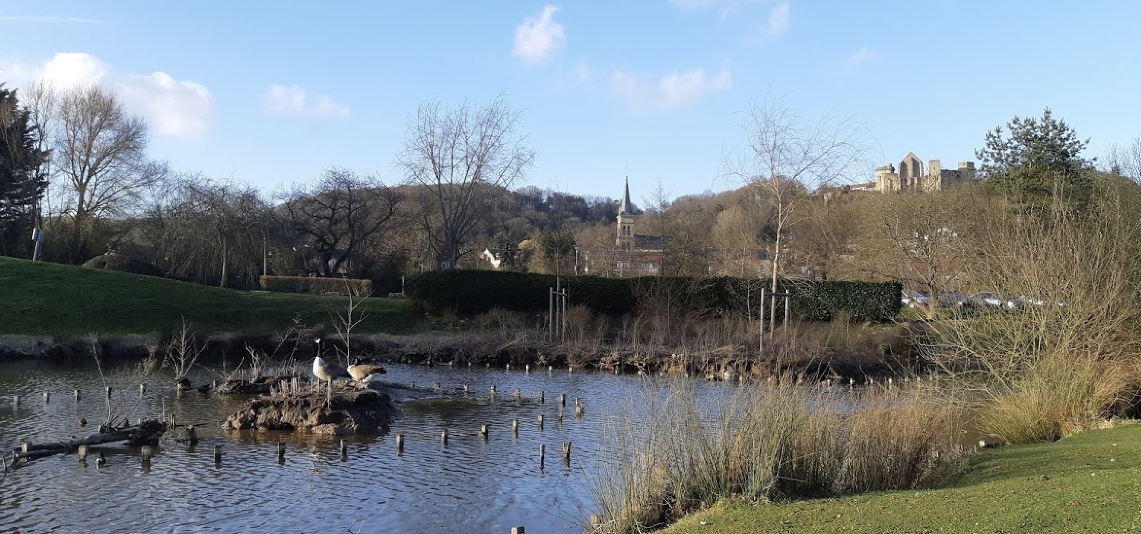
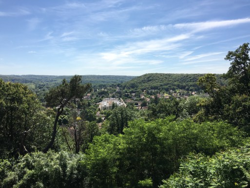
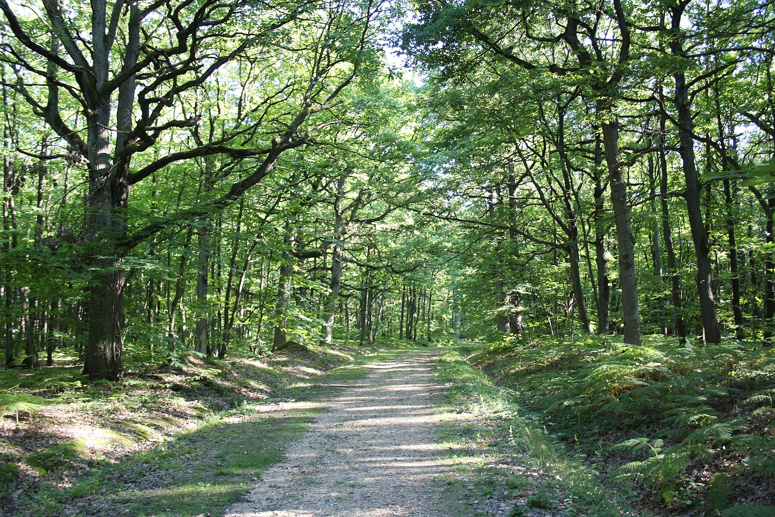
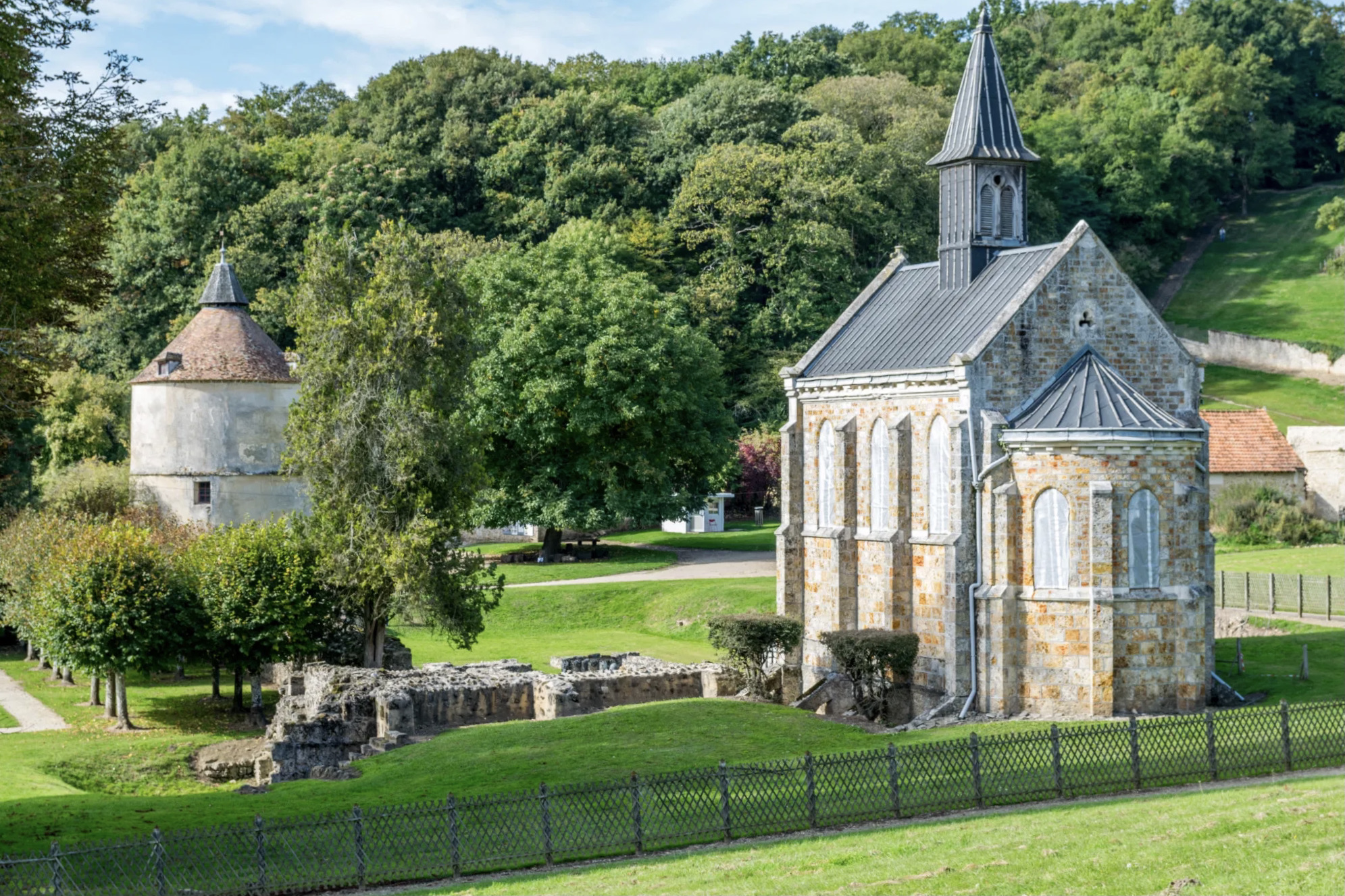
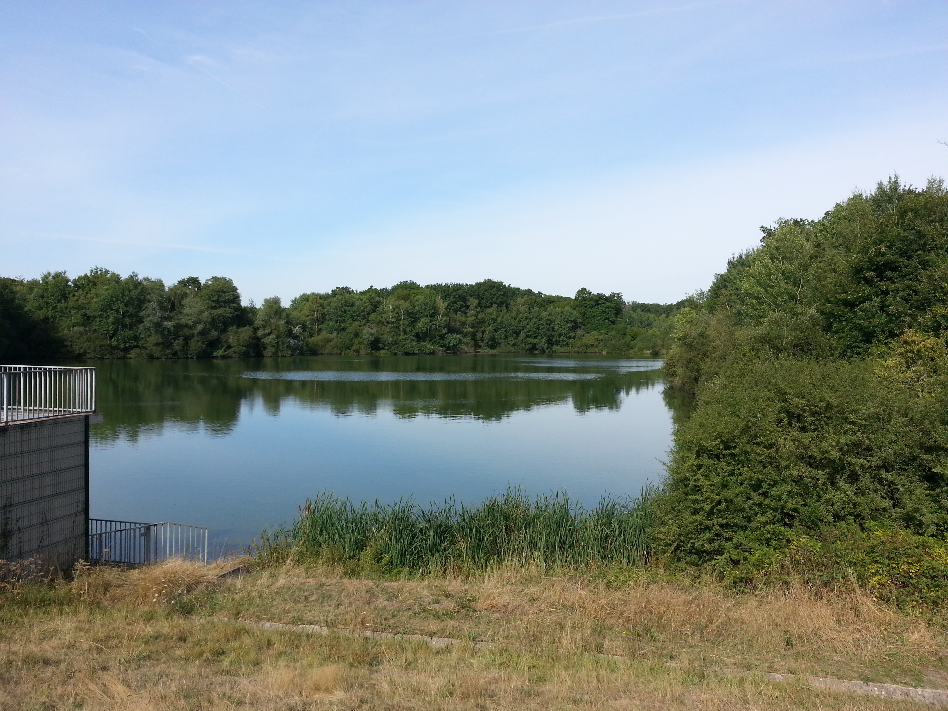
Long hike from Saint-Rémy-lès-Chreveuses station to La Verrière station. A varied route with several rivers, ponds and forest paths.

Already more than 200,000 users!
Uphill
248m
Highest point
191m
Downhill
248m
Lowest point
75m
Route type
Loop
Download the map on your smartphone to save battery and rest assured to always keep access to the route, even without signal.
Includes IGN France and Swisstopo.
From Saint-Rémy-lès-Chevreuse (RER B) to La Verrière (Transilien N and U).
I indicate whether dogs are allowed or prohibited on this trail
All year
2 ratings
Also enjoy:

Already more than 200,000 users!