Uphill
188m
France > Île-de-France > Yvelines > Haute Vallée de Chevreuse Regional Natural Park
Length
11km
Duration
3h30min
Elev gain
188m
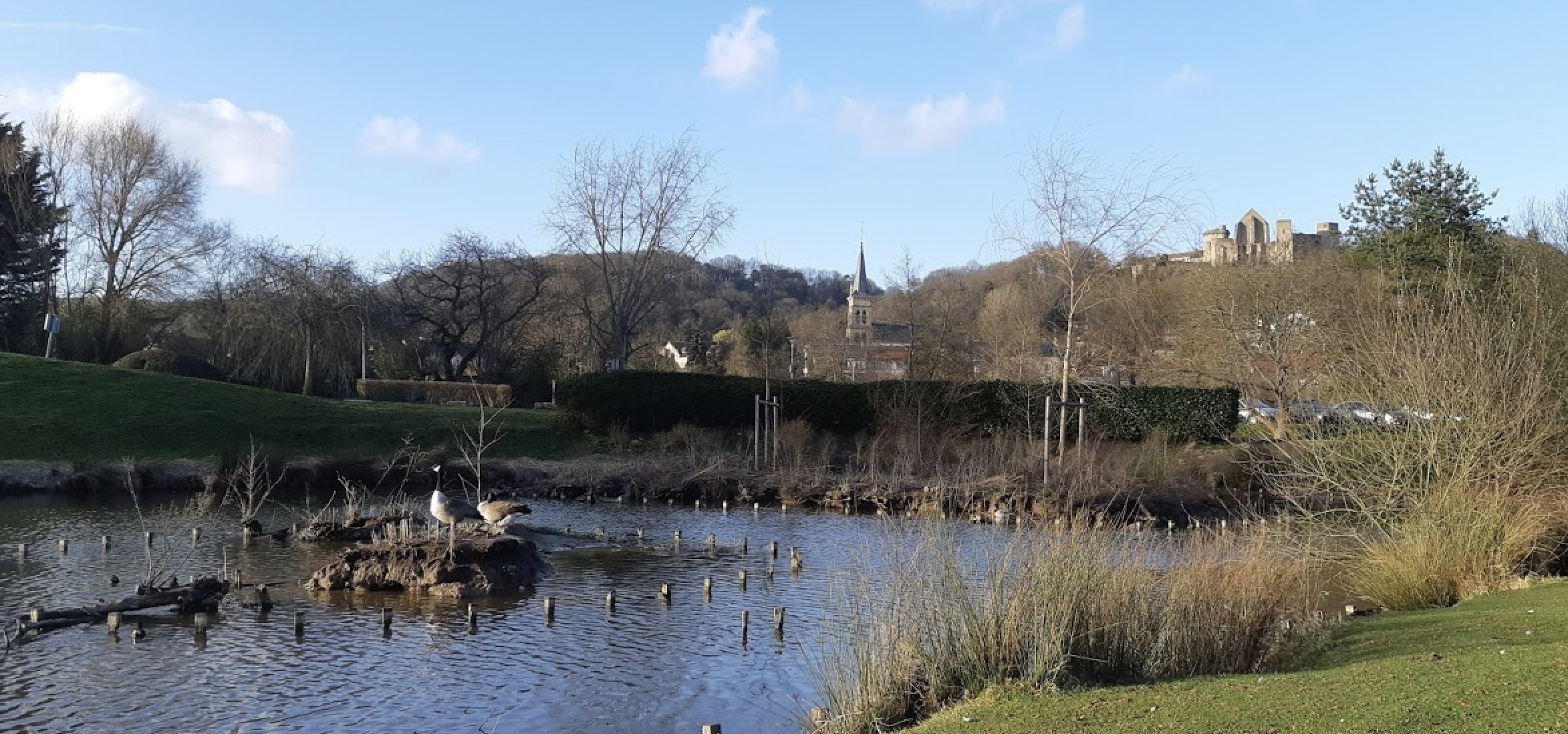
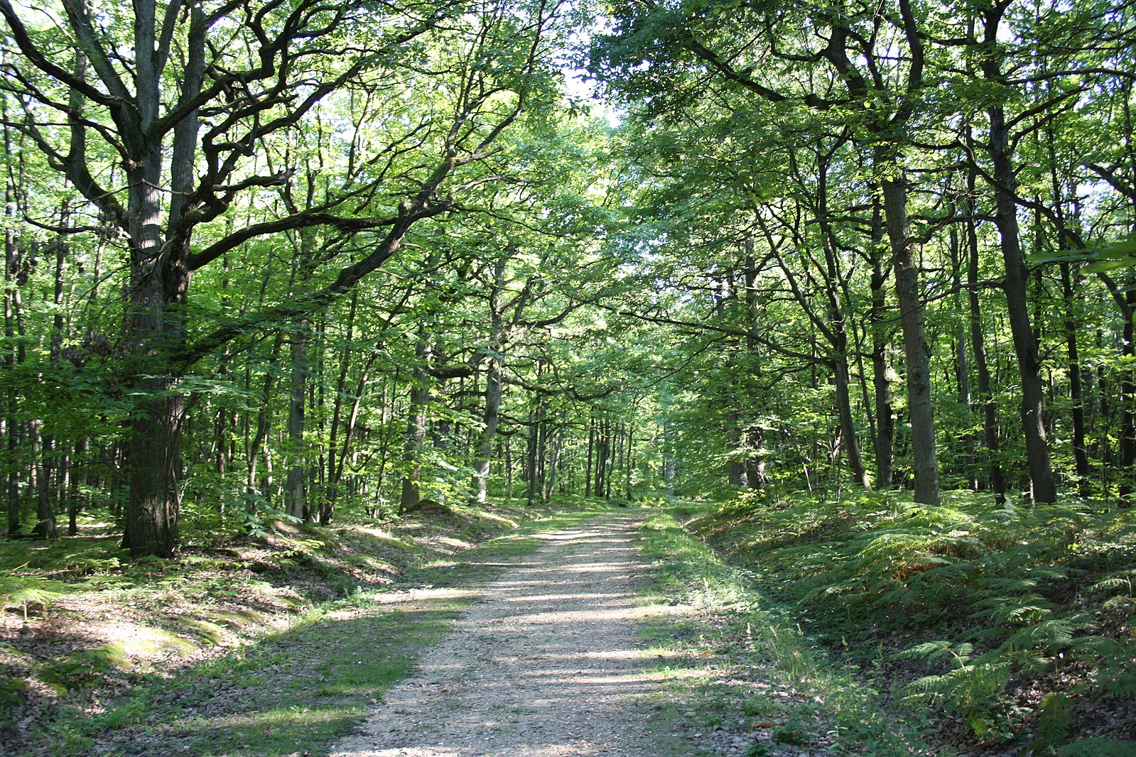
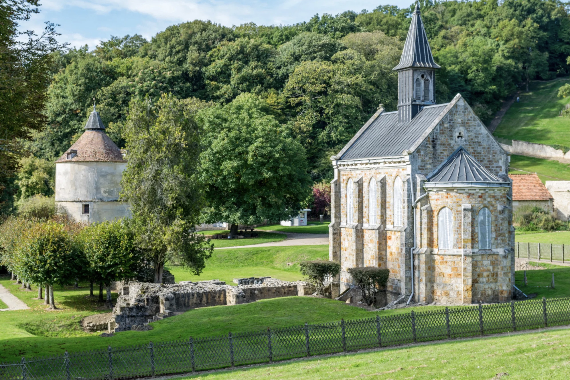
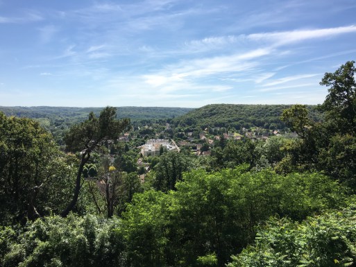
Here is a loop trail combining culture and nature. The path runs along the banks of the Yvette, crosses the center of Chevreuse, then passes through the Château de la Madeleine and the Claireau forest. Nice panorama over the valley from the castle.

Already more than 200,000 users!
Uphill
188m
Highest point
184m
Downhill
188m
Lowest point
68m
Route type
Loop
Download the map on your smartphone to save battery and rest assured to always keep access to the route, even without signal.
Includes IGN France and Swisstopo.
I indicate whether dogs are allowed or prohibited on this trail
All year
11 ratings
hello, world!
Super balade dans la vallée de Chevreuse. La traversée du village est sympathique au bord de la rivière, puis la montée au château offre une très belle vue sur les environs.
Sortie effectuée lors des journées du patrimoine, et des activités “médiévales” se tenaient dans le château de la Madeleine.
Also enjoy:

Already more than 200,000 users!