Uphill
159m
France > Île-de-France > Yvelines > Haute Vallée de Chevreuse Regional Natural Park
Length
11km
Duration
3h
Elev gain
159m
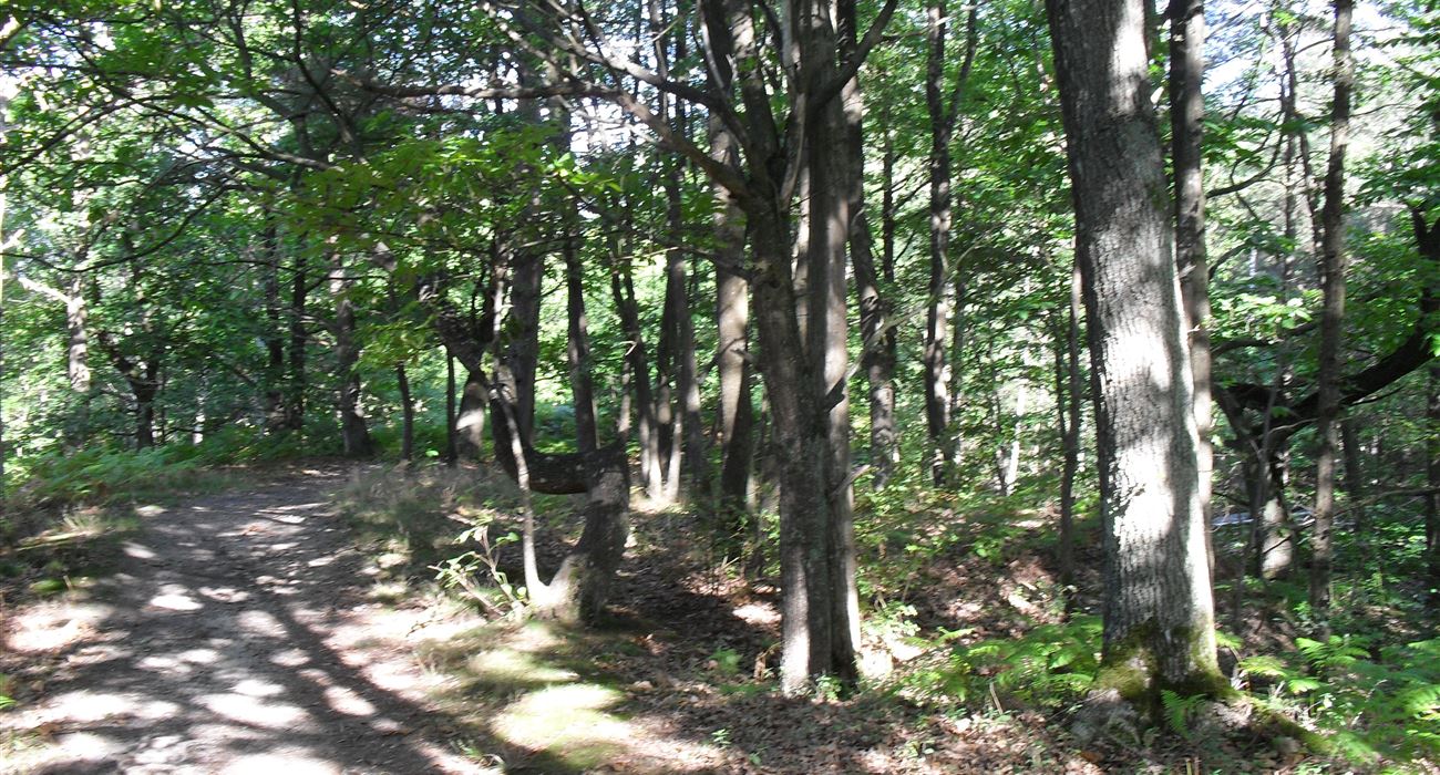
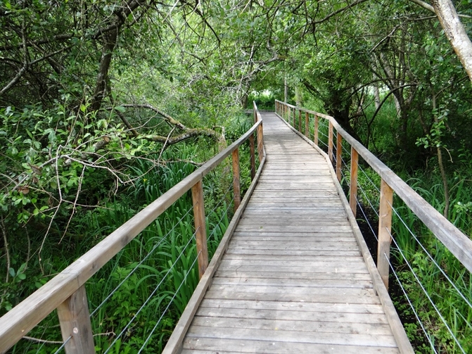
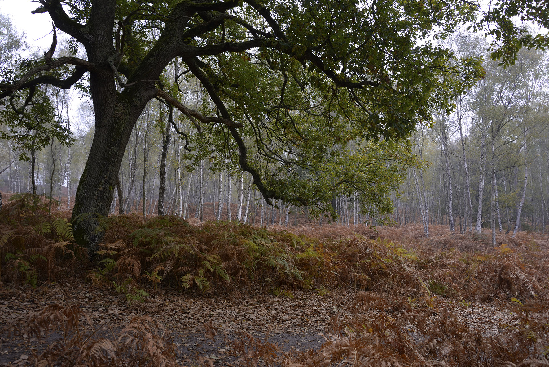
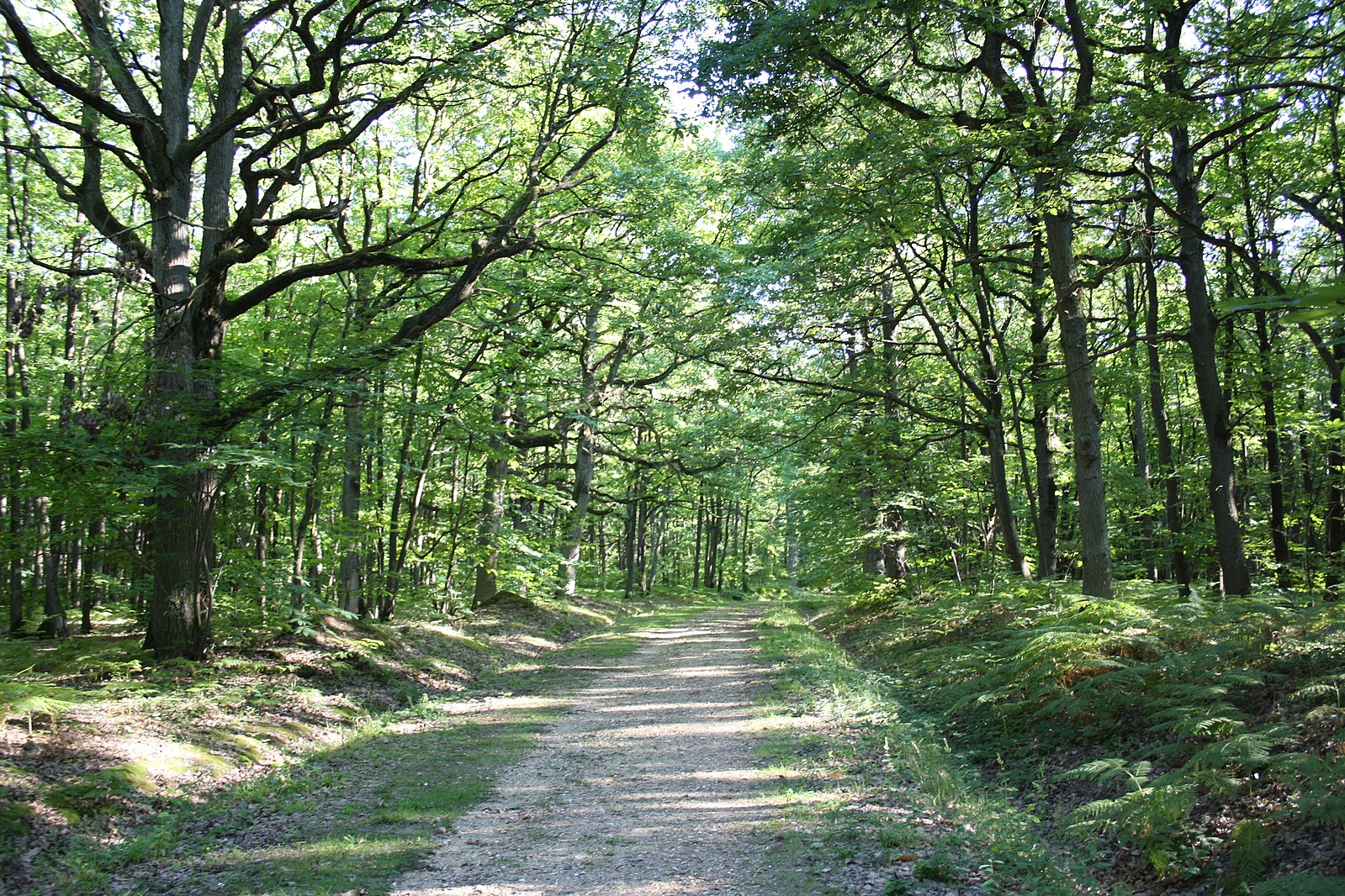
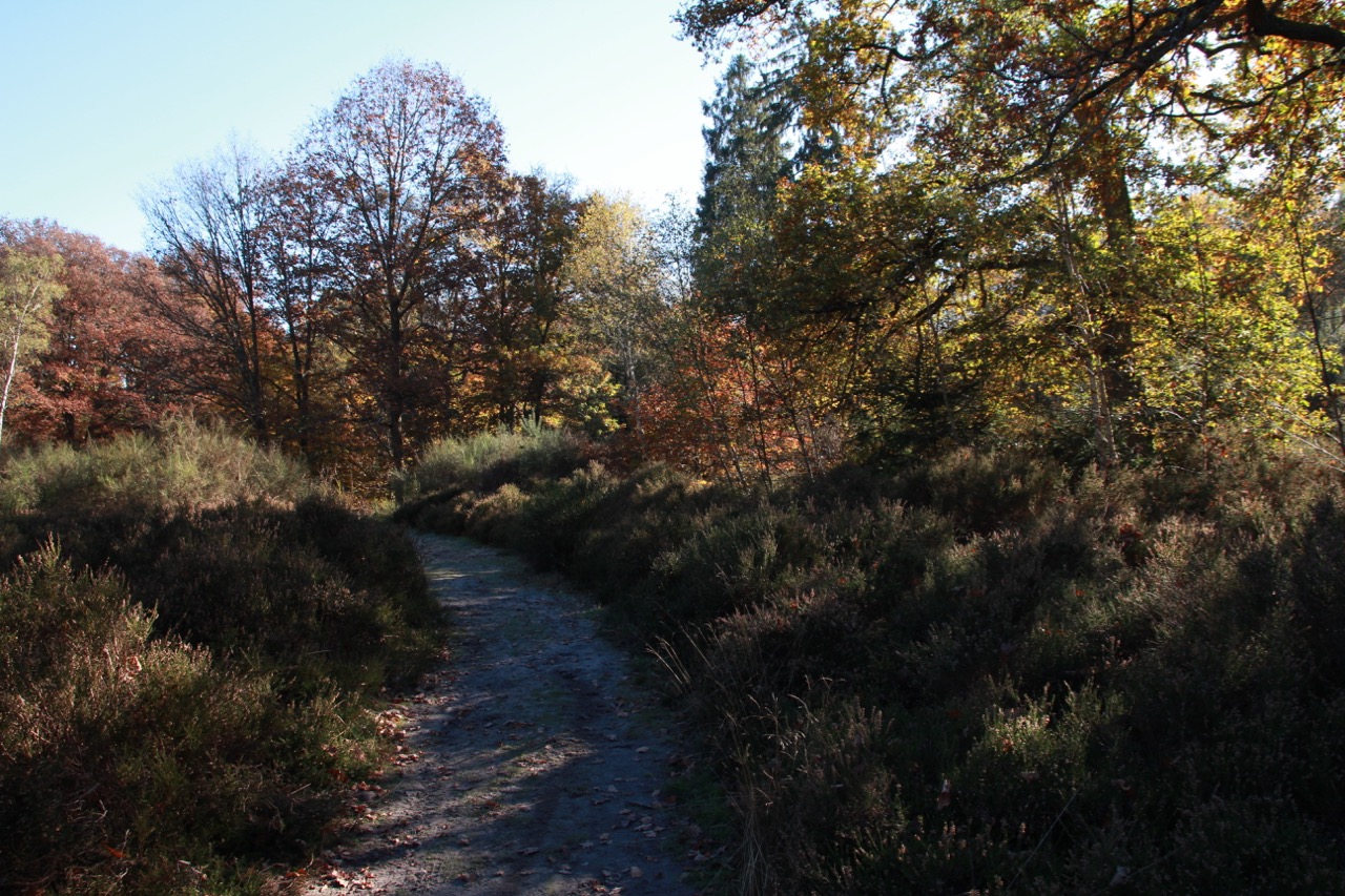
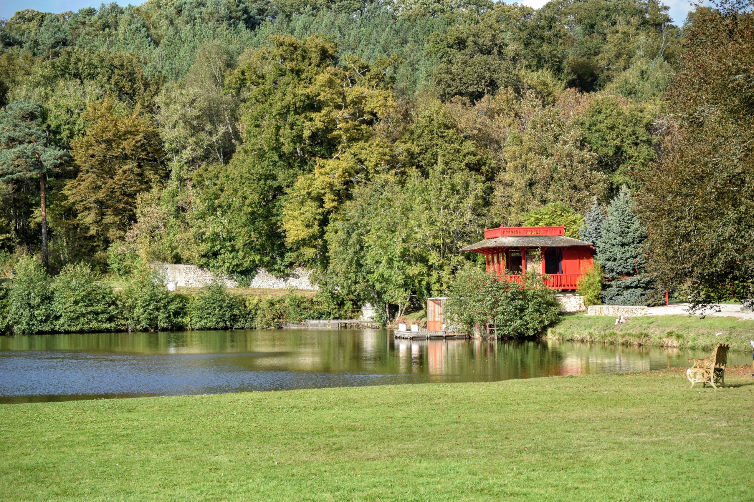
Walk in the Vaux de Cernay, a narrow relatively marshy valley, including several ponds, and from which a few blocks of sandstone emerge. Small detour by the Abbey of Vaux-de-Cernay, a former Cistercian monastery dating from the 12th century. The way back is in the forest.

Already more than 200,000 users!
Uphill
159m
Highest point
192m
Downhill
159m
Lowest point
112m
Route type
Loop
Download the map on your smartphone to save battery and rest assured to always keep access to the route, even without signal.
Includes IGN France and Swisstopo.
3 ratings
Also enjoy:

Already more than 200,000 users!