Uphill
101m
France > Île-de-France > Yvelines > Haute Vallée de Chevreuse Regional Natural Park
Length
9km
Duration
2h30min
Elev gain
101m
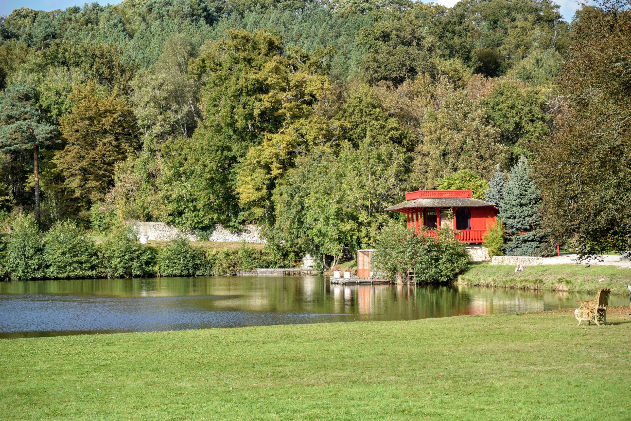
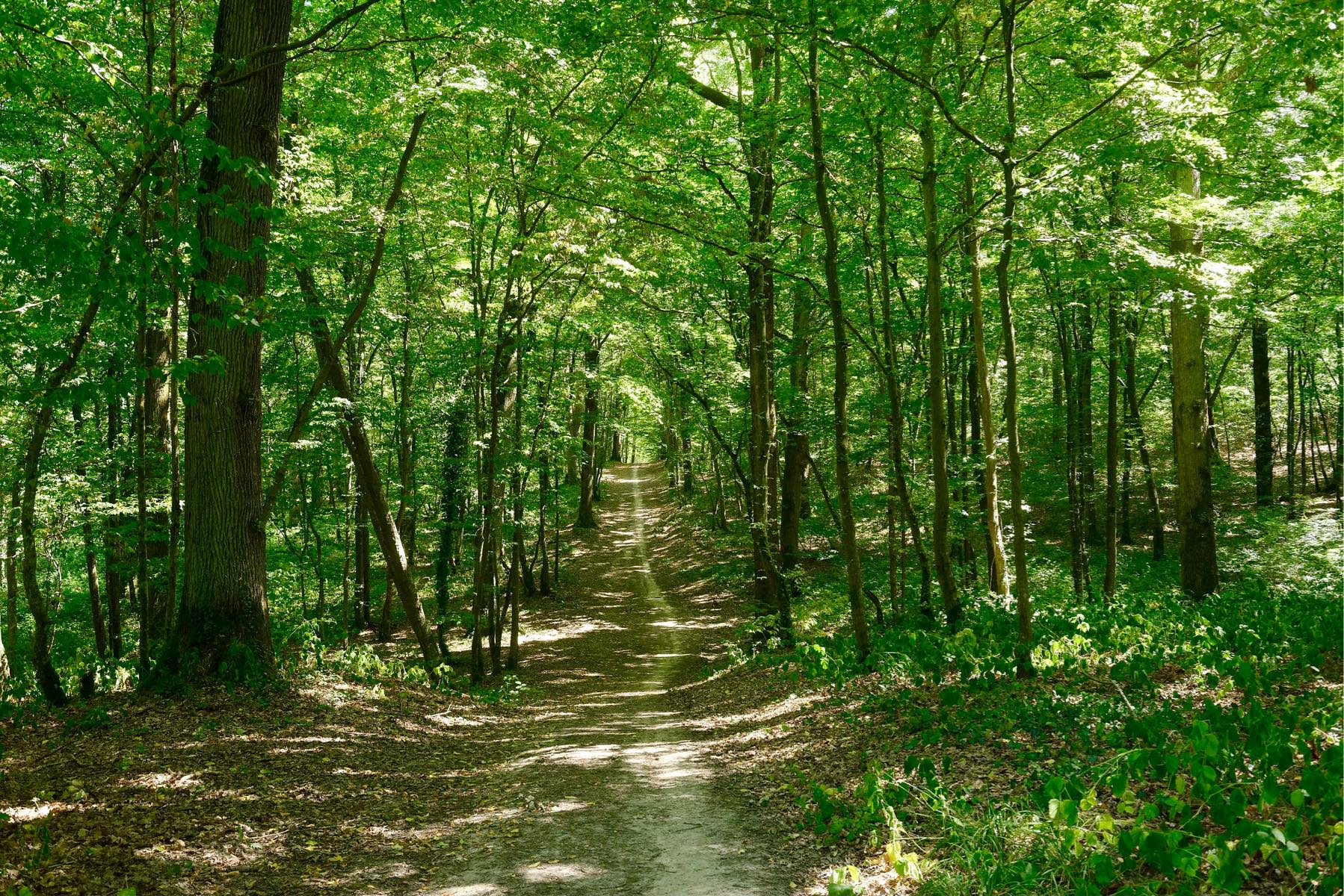
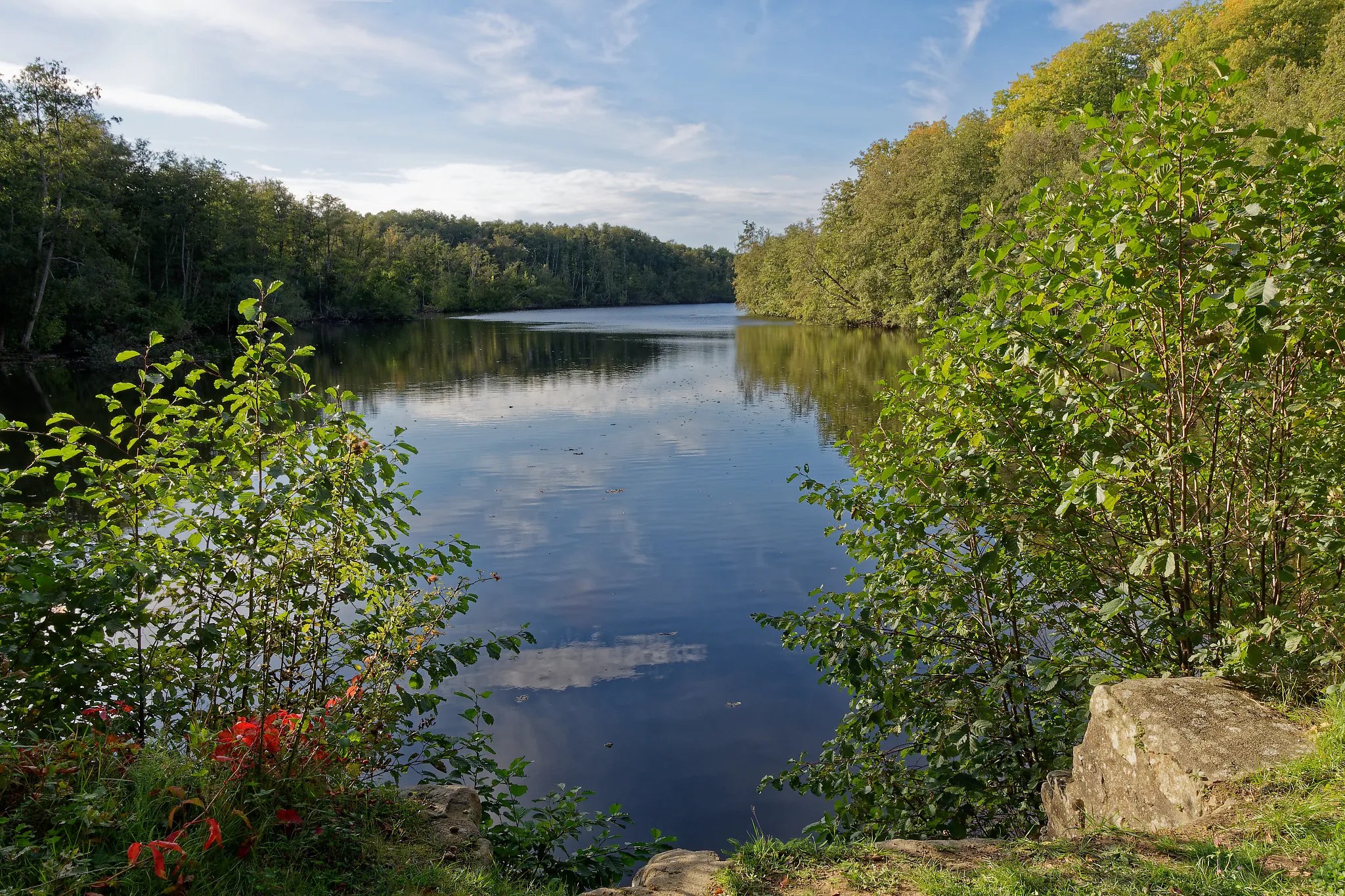
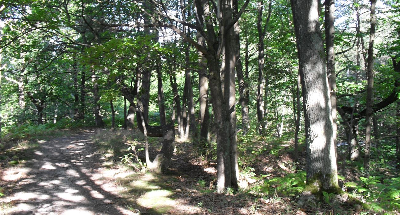
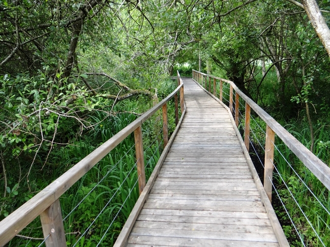
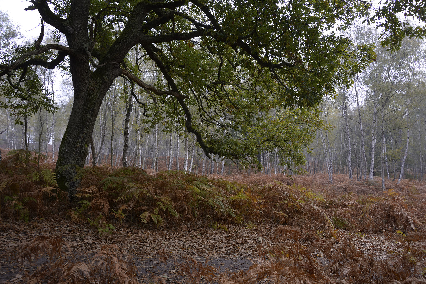
This walk takes place on an often sandy path, surrounded by ferns and trees of various species. A pleasant change of scenery in the Haute Vallée de Chevreuse regional natural park.

Already more than 200,000 users!
Uphill
101m
Highest point
172m
Downhill
101m
Lowest point
95m
Route type
Loop
Download the map on your smartphone to save battery and rest assured to always keep access to the route, even without signal.
Includes IGN France and Swisstopo.
I indicate whether dogs are allowed or prohibited on this trail
All year
0 ratings
Also enjoy:

Already more than 200,000 users!