Uphill
232m
Length
15km
Duration
4h30min
Elev gain
232m
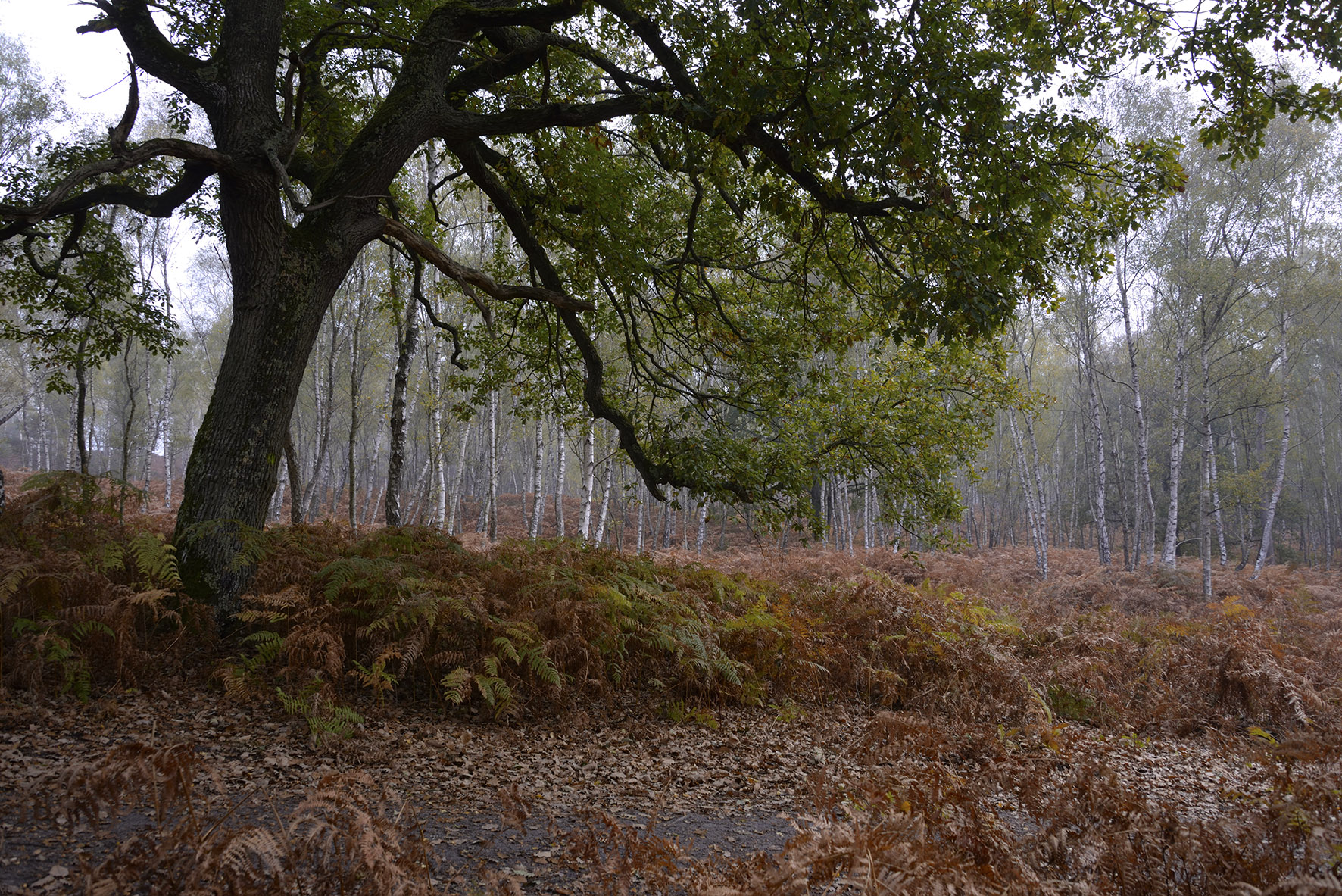
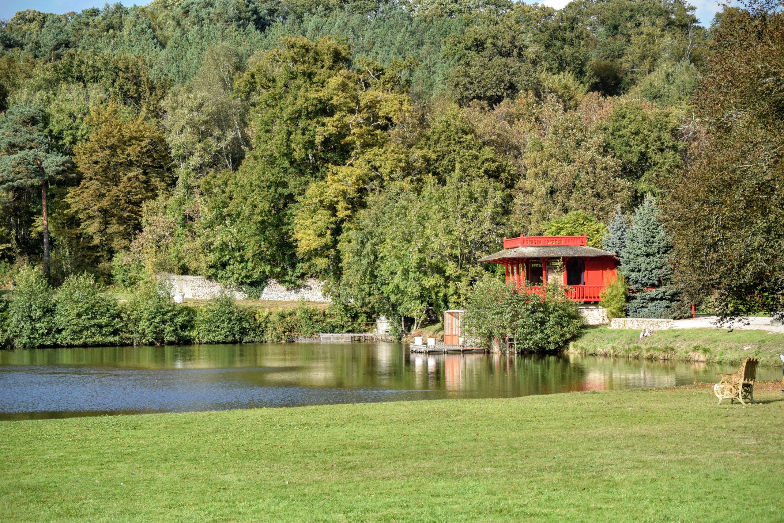
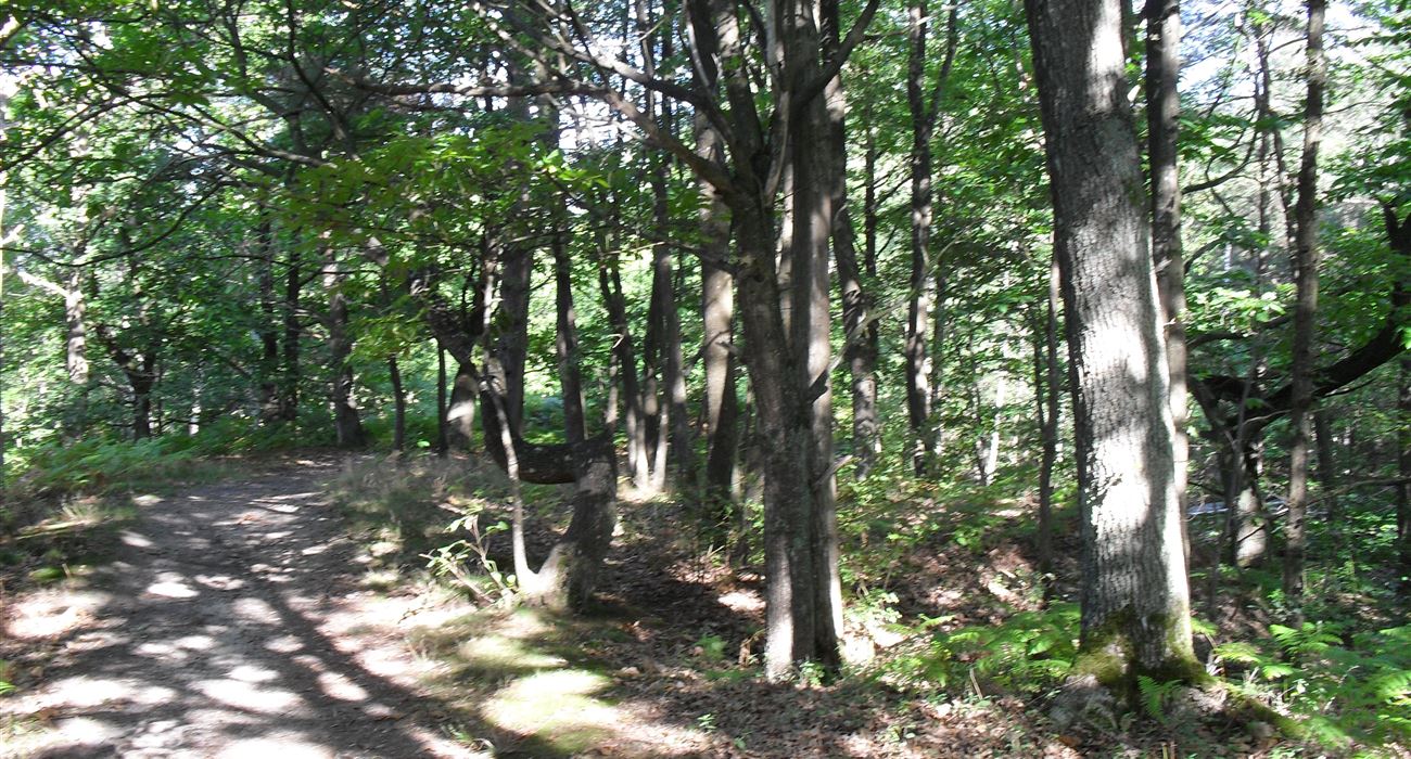
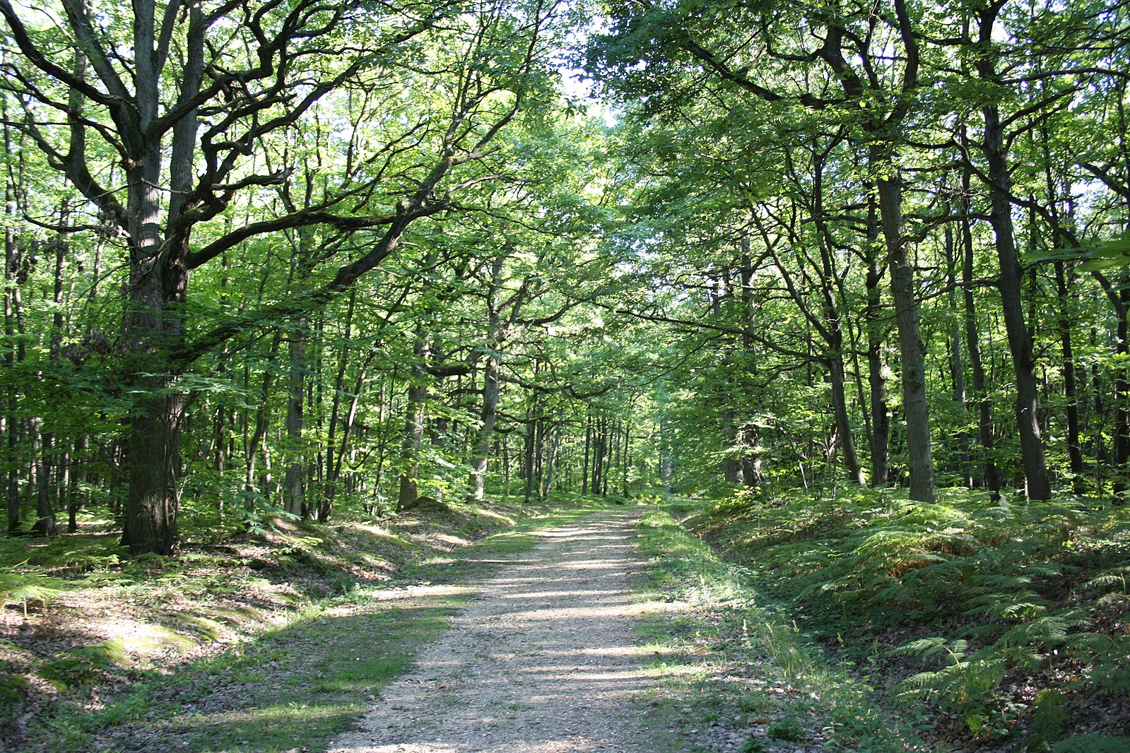
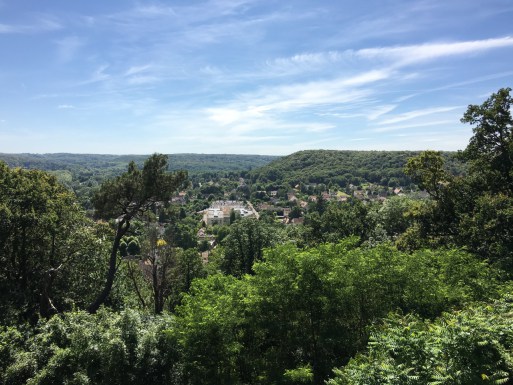
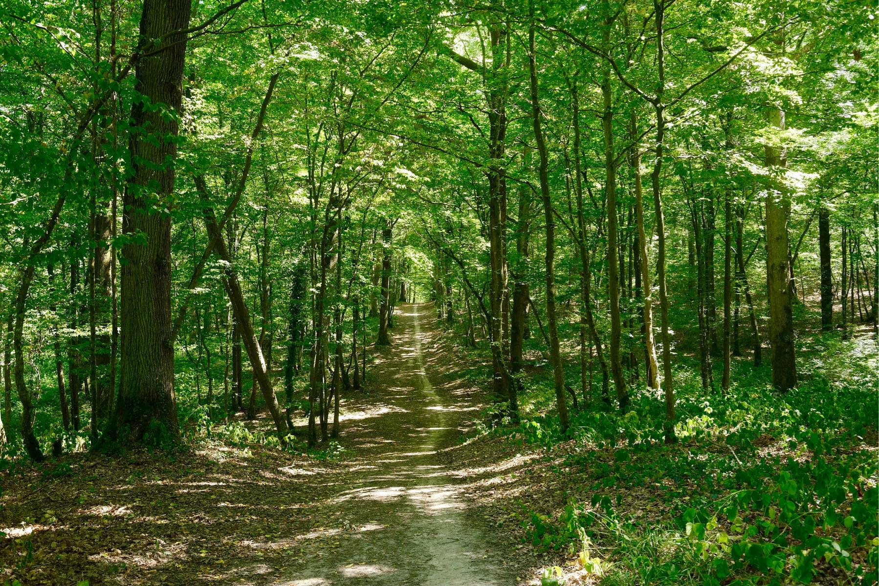
Departing from Dourdan station, here is a large loop in the heart of the Dourdan national forest. On the program: crossing the Orge river, wide alleys, and a flora made up mainly of oaks. Note some passages on the road.

Already more than 200,000 users!
Uphill
232m
Highest point
178m
Downhill
232m
Lowest point
85m
Route type
Loop
Download the map on your smartphone to save battery and rest assured to always keep access to the route, even without signal.
Includes IGN France and Swisstopo.
I indicate whether dogs are allowed or prohibited on this trail
All year
1 rating
Also enjoy:

Already more than 200,000 users!