Uphill
70m
Length
9km
Duration
2h30min
Elev gain
70m
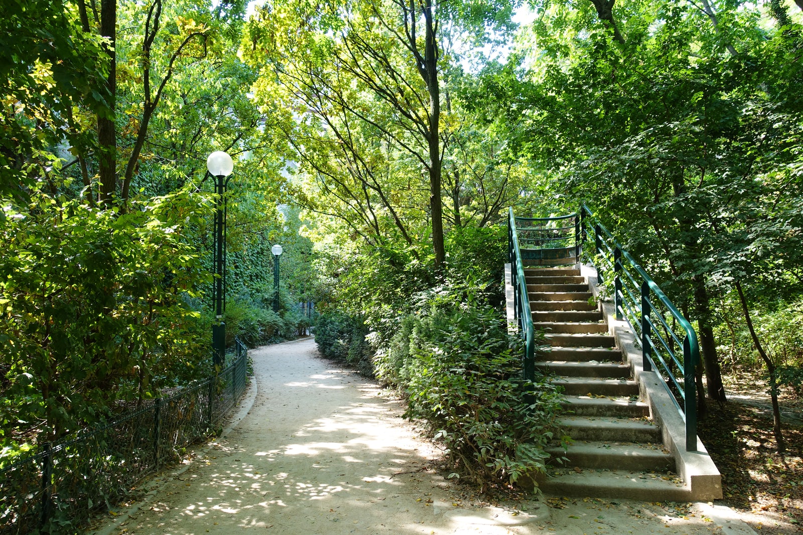
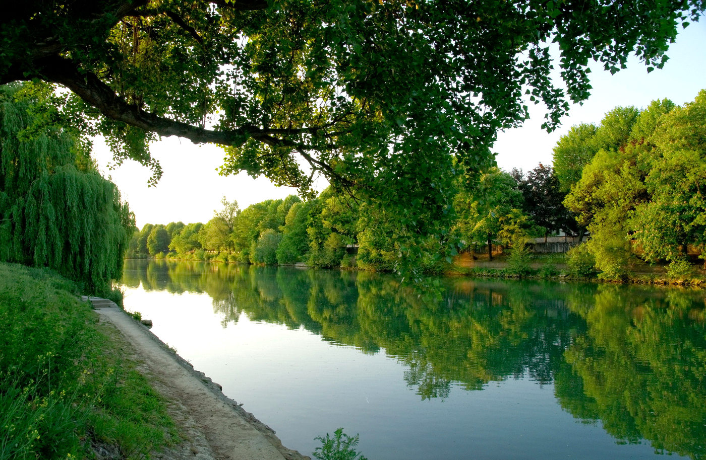
Walk presenting varied landscapes, from Porte Dorée metro to Saint-Maur-Créteil RER station.
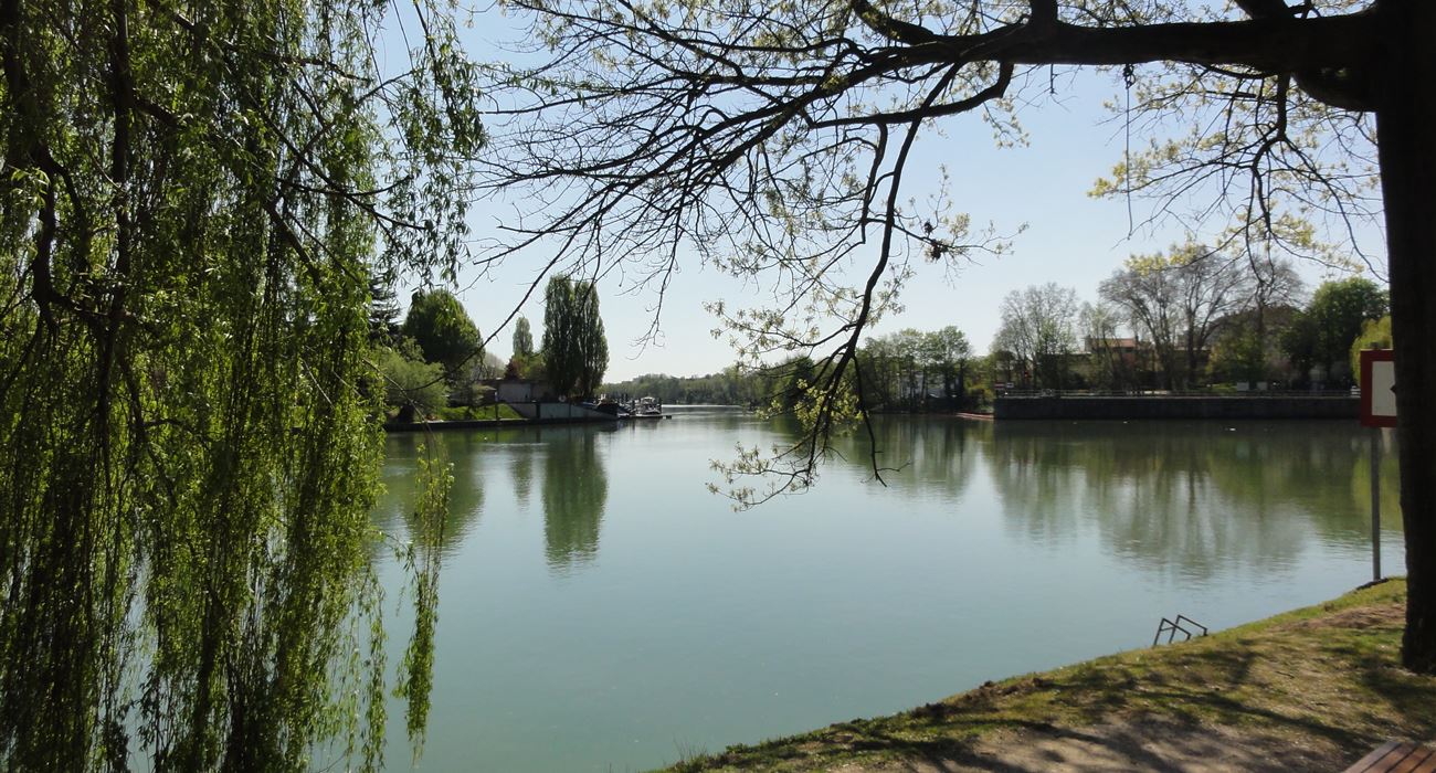
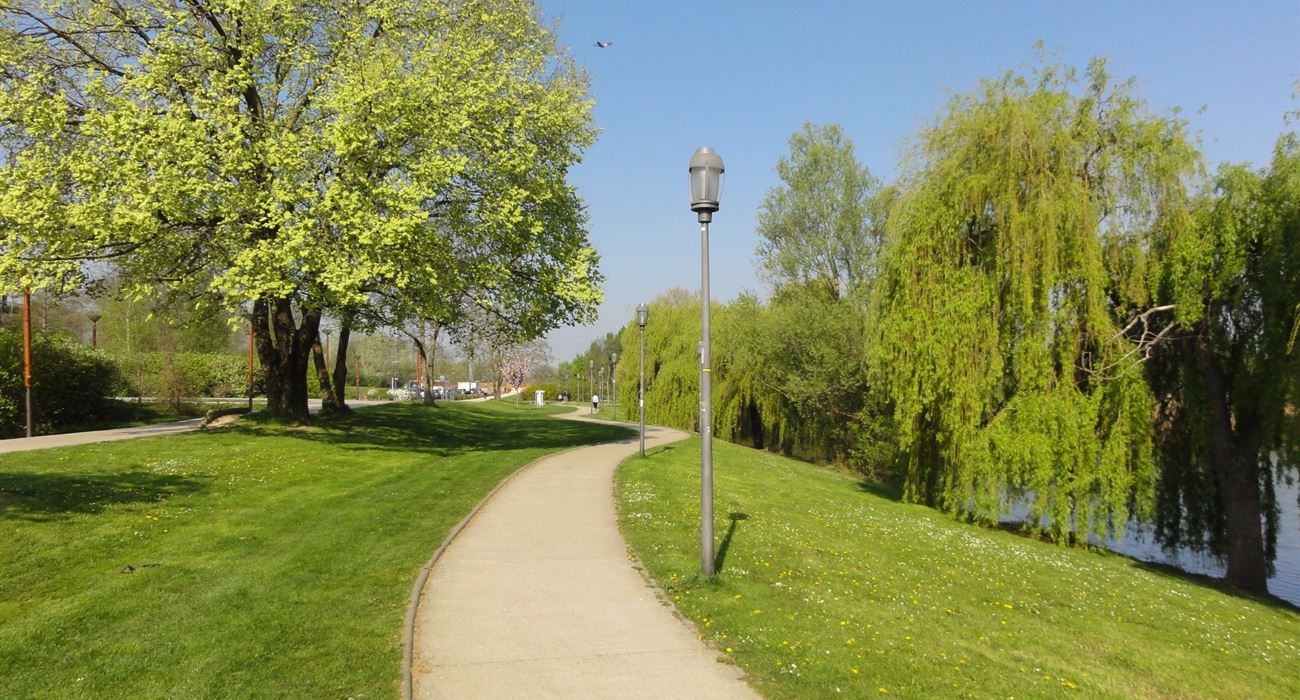
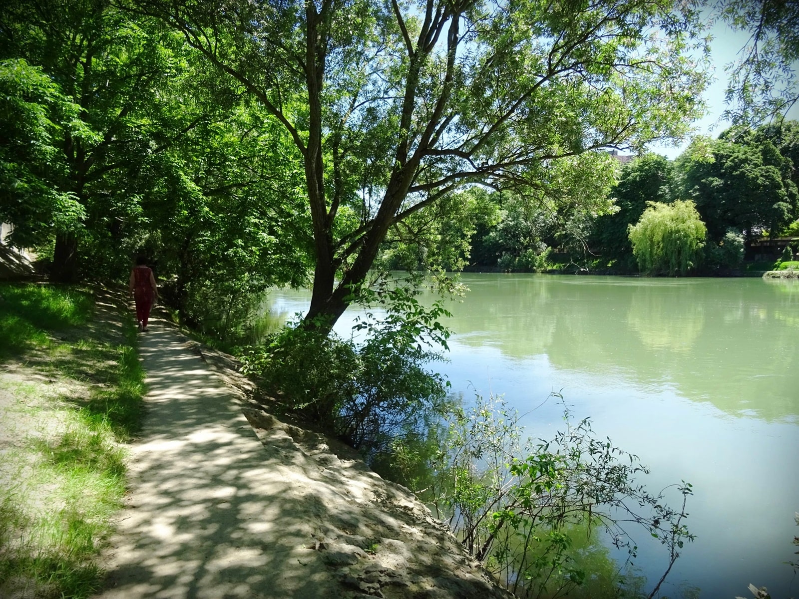
The trail first passes through the Bois de Vincennes, in particular the islands of Lake Daumesnil and the Gravelle stream, before joining the Marne towpath.

Already more than 200,000 users!
Uphill
70m
Highest point
71m
Downhill
95m
Lowest point
24m
Route type
One way
Download the map on your smartphone to save battery and rest assured to always keep access to the route, even without signal.
Includes IGN France and Swisstopo.
Metro Porte Dorée for a Western start.
Saint-Maur-Créteil station for an Eastern start.
I indicate whether dogs are allowed or prohibited on this trail
All year
3 ratings
Also enjoy:

Already more than 200,000 users!