Uphill
57m
Length
4km
Duration
1h
Elev gain
57m
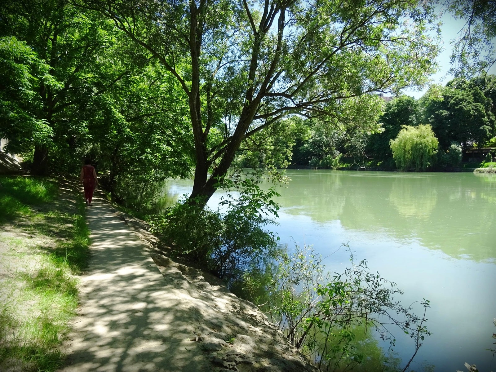
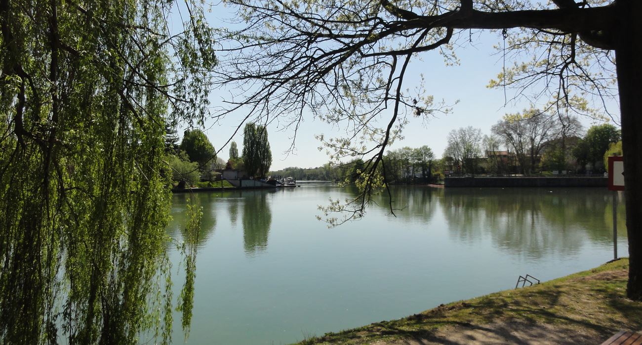
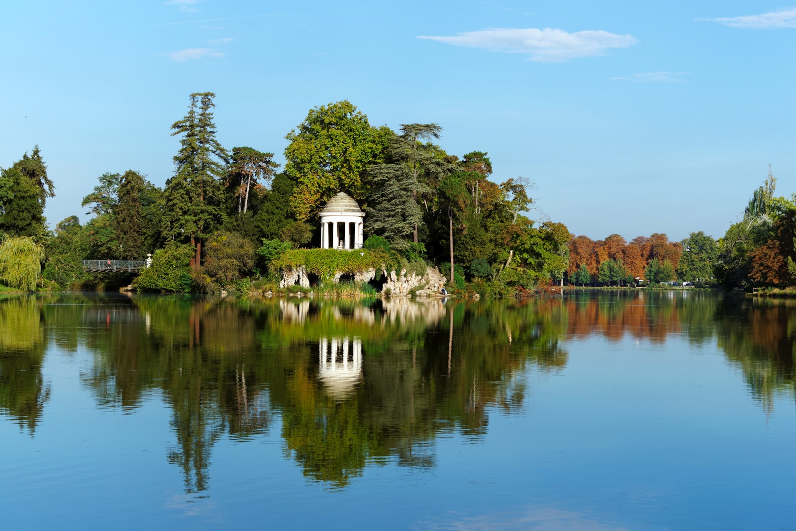
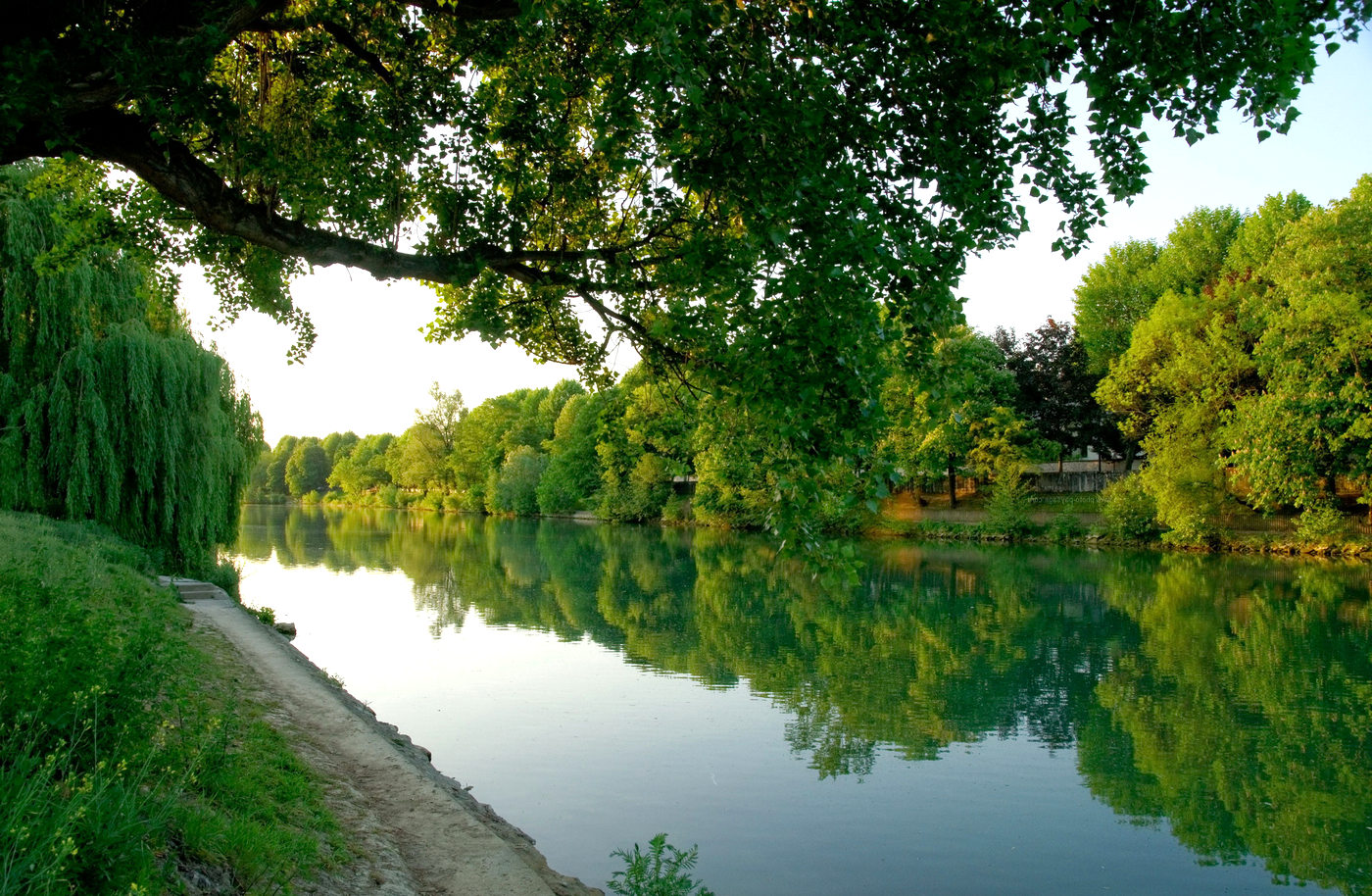
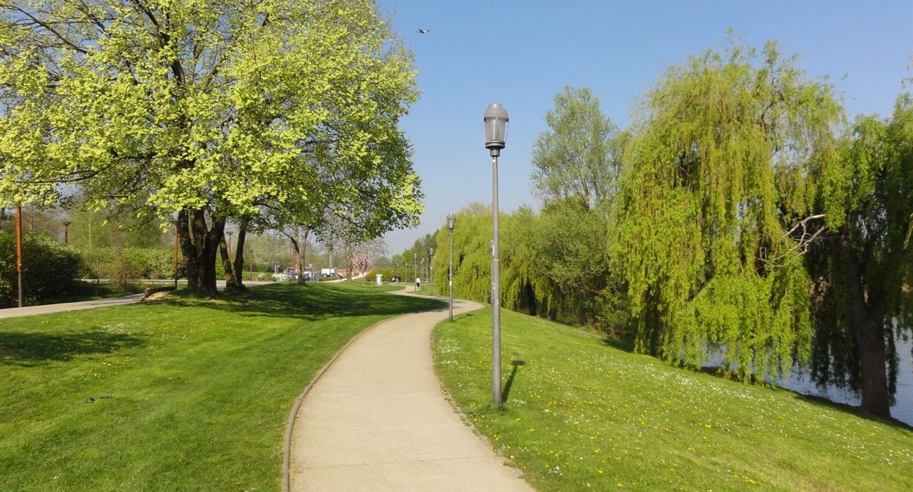
The trails around the lake are well maintained, and several pontoons allow you to be as close as possible to the water. Striking contrasts between greenery and urban density.

Already more than 200,000 users!
Uphill
57m
Highest point
42m
Downhill
57m
Lowest point
5m
Route type
Loop
Download the map on your smartphone to save battery and rest assured to always keep access to the route, even without signal.
Includes IGN France and Swisstopo.
I indicate whether dogs are allowed or prohibited on this trail
All year
0 ratings
Also enjoy:

Already more than 200,000 users!