Uphill
128m
France > Île-de-France > Val-de-Marne
Length
13km
Duration
3h30min
Elev gain
128m
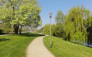
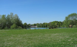
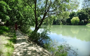
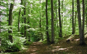
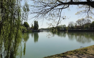
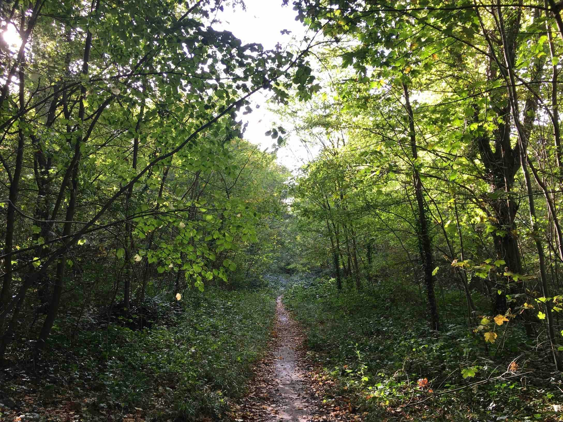
Hike from station to station taking place mainly in the national forest of La Grange, which occupies the western part of the "wooded arc" of Val-de-Marne and Essonne.

Already more than 200,000 users!
Uphill
128m
Highest point
124m
Downhill
90m
Lowest point
18m
Route type
One way
Download the map on your smartphone to save battery and rest assured to always keep access to the route, even without signal.
Includes IGN France and Swisstopo.
Gare de Villeneuve-Saint-Georges (RER D).
Gare de Boissy-Saint-Léger (RER A).
I indicate whether dogs are allowed or prohibited on this trail
All year
0 ratings
Also enjoy:

Already more than 200,000 users!