Uphill
45m
Length
11km
Duration
3h
Elev gain
45m
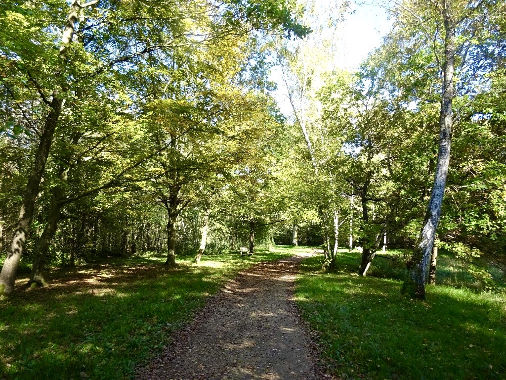
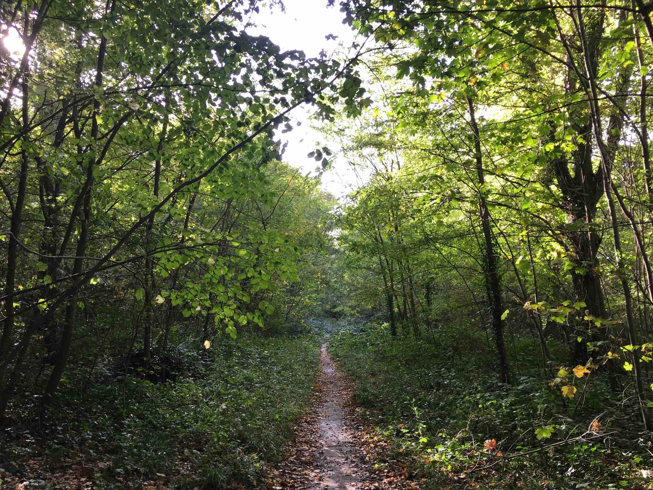
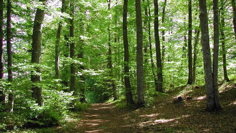
Loop through a forest mainly made up of oaks, chestnuts, charms and birches.

Already more than 200,000 users!
Uphill
45m
Highest point
100m
Downhill
45m
Lowest point
73m
Route type
Loop
Download the map on your smartphone to save battery and rest assured to always keep access to the route, even without signal.
Includes IGN France and Swisstopo.
Parking de la Faisanderie.
Gare de Ris Orangis and de Combs la Ville - Quincy (RER D) are near.
I indicate whether dogs are allowed or prohibited on this trail
All year
0 ratings
Also enjoy:

Already more than 200,000 users!