Uphill
26m

France > Île-de-France > Essonne
Length
10km
Duration
2h30min
Elev gain
26m
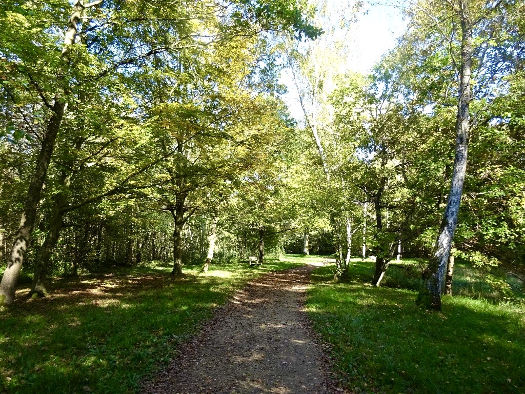
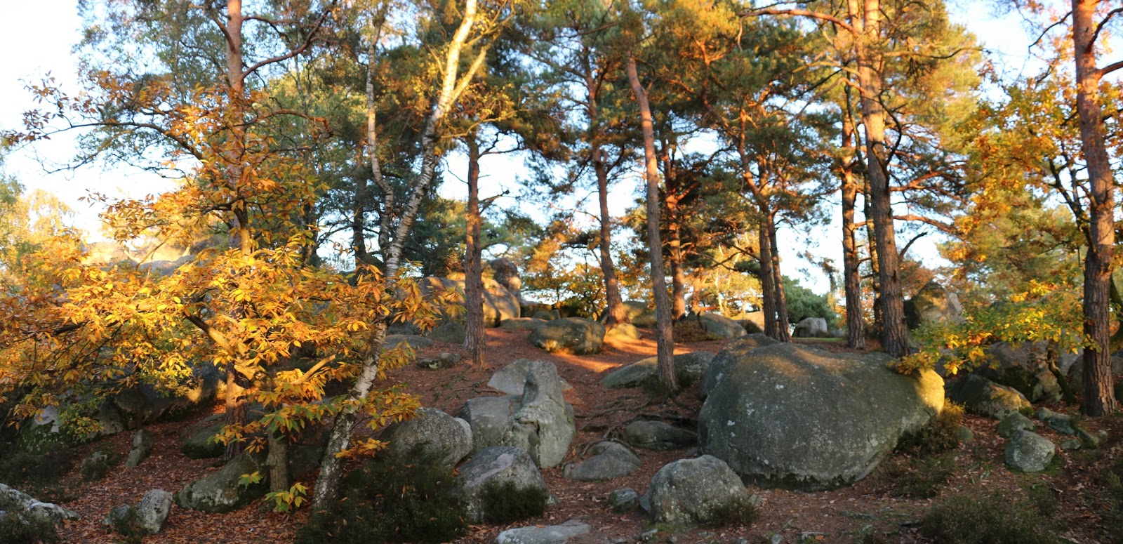
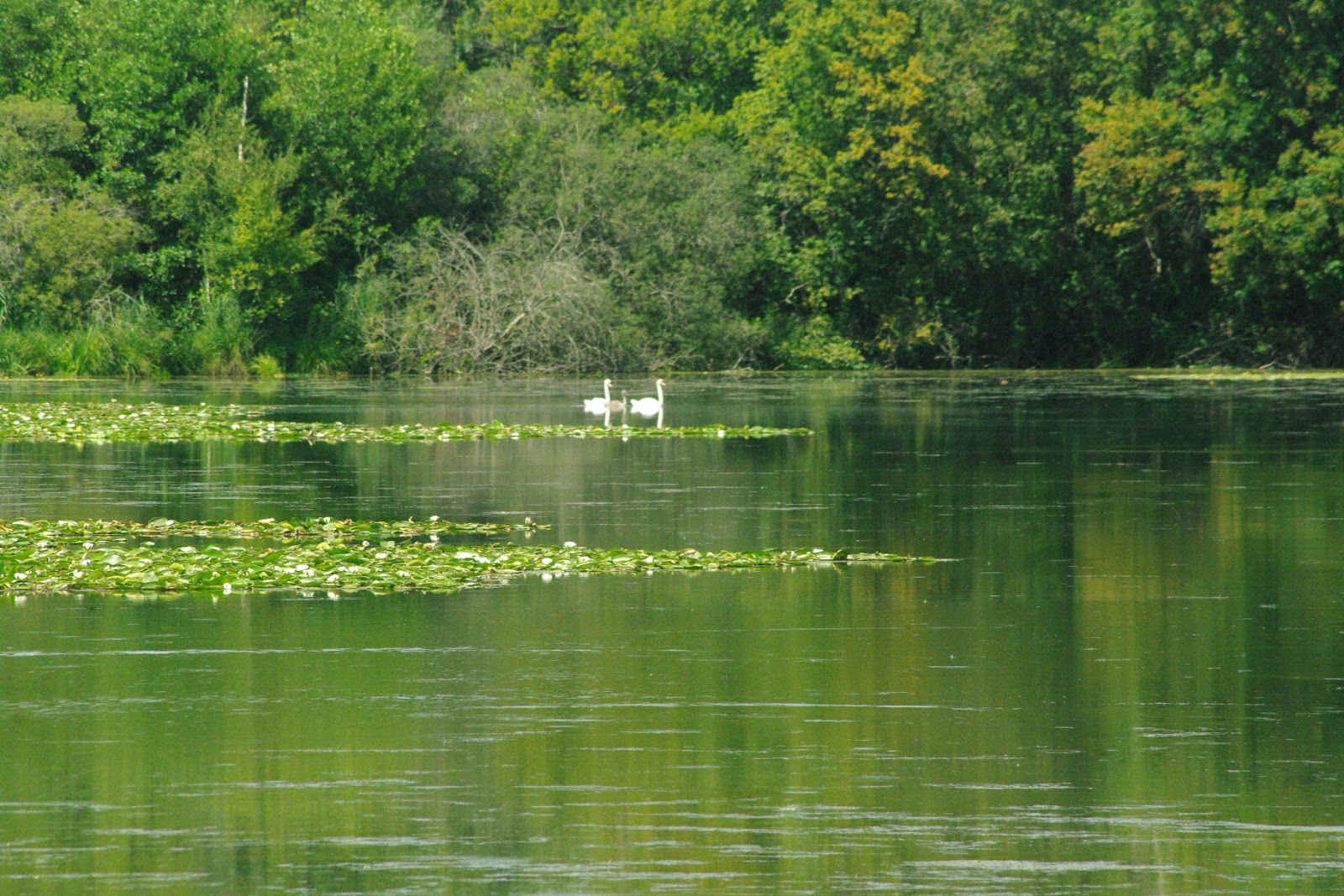
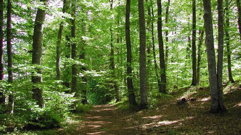
Here is a path leading from Coudray-Montceaux station to Saint-Fargeau-Ponthierry station, both located on the RER D.
The route runs along the Seine, taking towpaths and little busy roads, continually offering lovely views of the river.

Already more than 200,000 users!
Uphill
26m
Highest point
51m
Downhill
26m
Lowest point
27m
Route type
One way
Download the map on your smartphone to save battery and rest assured to always keep access to the route, even without signal.
Includes IGN France and Swisstopo.
Gare du Coudray-Montceaux (RER D).
Gare de Saint-Fargeau-Ponthierry (RER D).
I indicate whether dogs are allowed or prohibited on this trail
All year
0 ratings
Also enjoy:

Already more than 200,000 users!