Uphill
20m

Length
8km
Duration
2h
Elev gain
20m
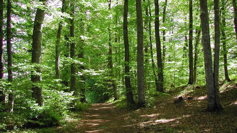
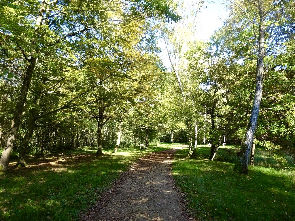
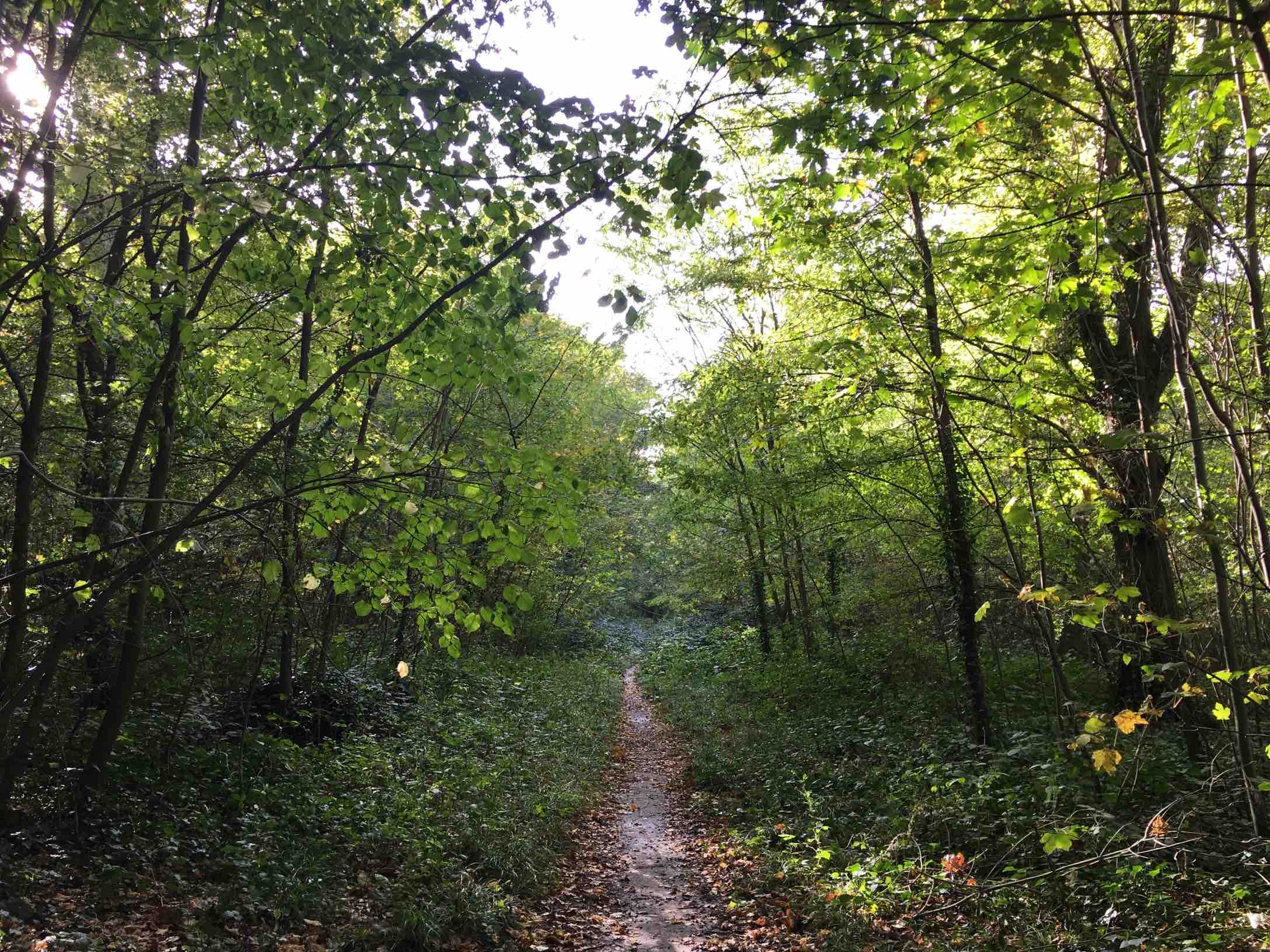
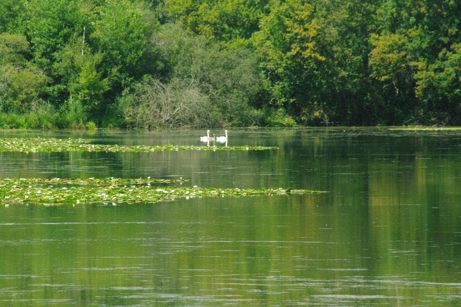
Departing from the forest of Sénart, this hike takes an alley created under Louis XV and allowing you to successively cross fields, a golf course, as well as the forest of Rougeau. The lucky ones will even spot swans along the trail.
It should be noted, however, that this is a one way hike, the start and end points being 8 kilometers away from each other.

Already more than 200,000 users!
Uphill
20m
Highest point
94m
Downhill
14m
Lowest point
72m
Route type
One way
Download the map on your smartphone to save battery and rest assured to always keep access to the route, even without signal.
Includes IGN France and Swisstopo.
I indicate whether dogs are allowed or prohibited on this trail
All year
0 ratings
Also enjoy:

Already more than 200,000 users!