Uphill
113m
Length
15km
Duration
4h
Elev gain
113m
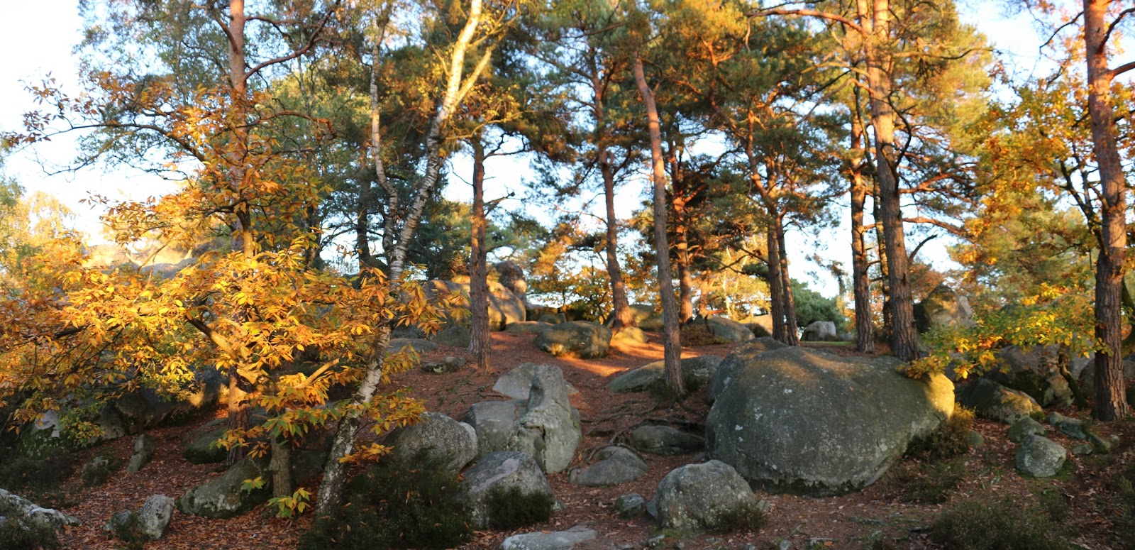
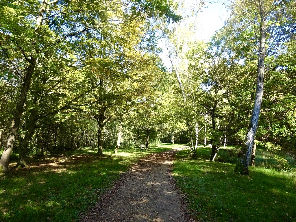
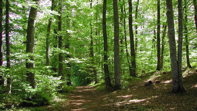
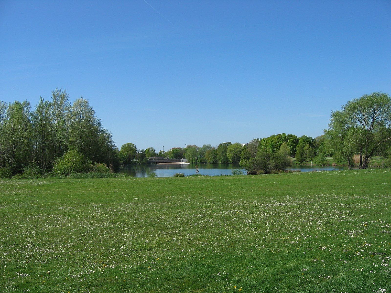
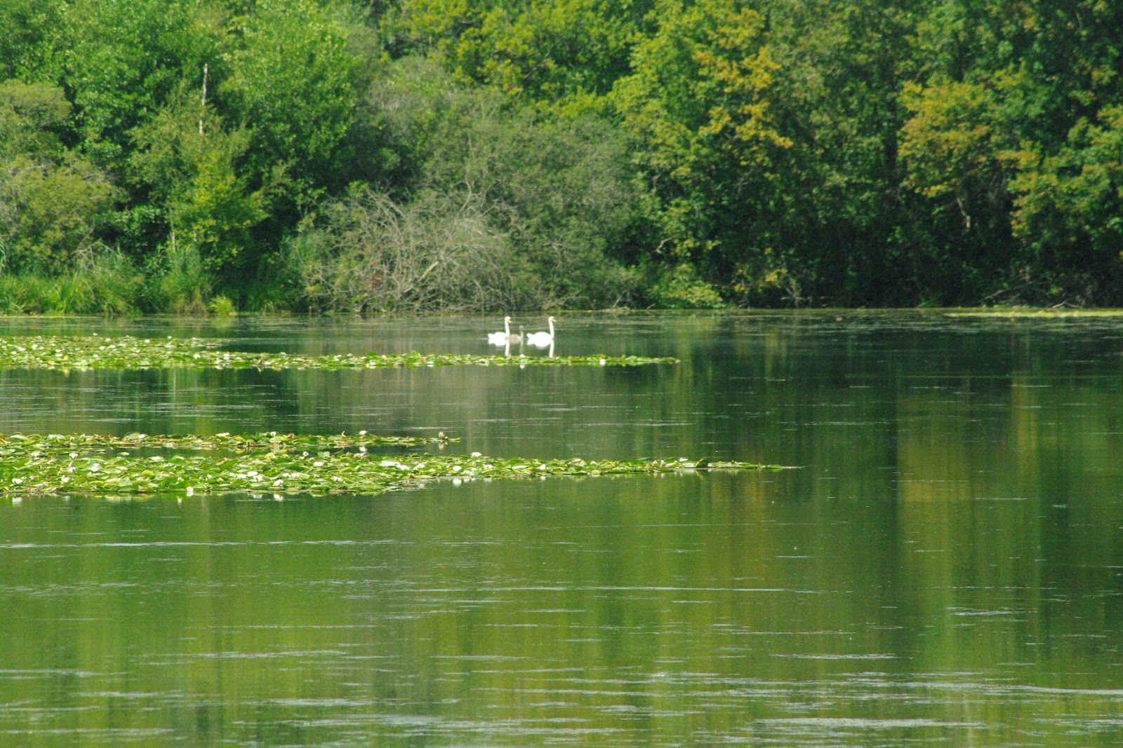
This trail, starting from Villeroy Park, goes around the departmental domain of the Fontenay marsh, an area of wet woodlands and peat meadows.

Already more than 200,000 users!
Uphill
113m
Highest point
96m
Downhill
113m
Lowest point
41m
Route type
Loop
Download the map on your smartphone to save battery and rest assured to always keep access to the route, even without signal.
Includes IGN France and Swisstopo.
I indicate whether dogs are allowed or prohibited on this trail
All year
3 ratings
Also enjoy:

Already more than 200,000 users!