Uphill
25m
Length
5km
Duration
1h30min
Elev gain
25m
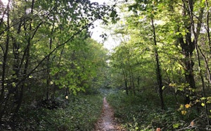
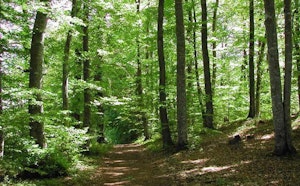
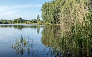
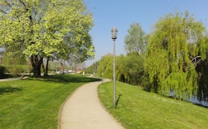
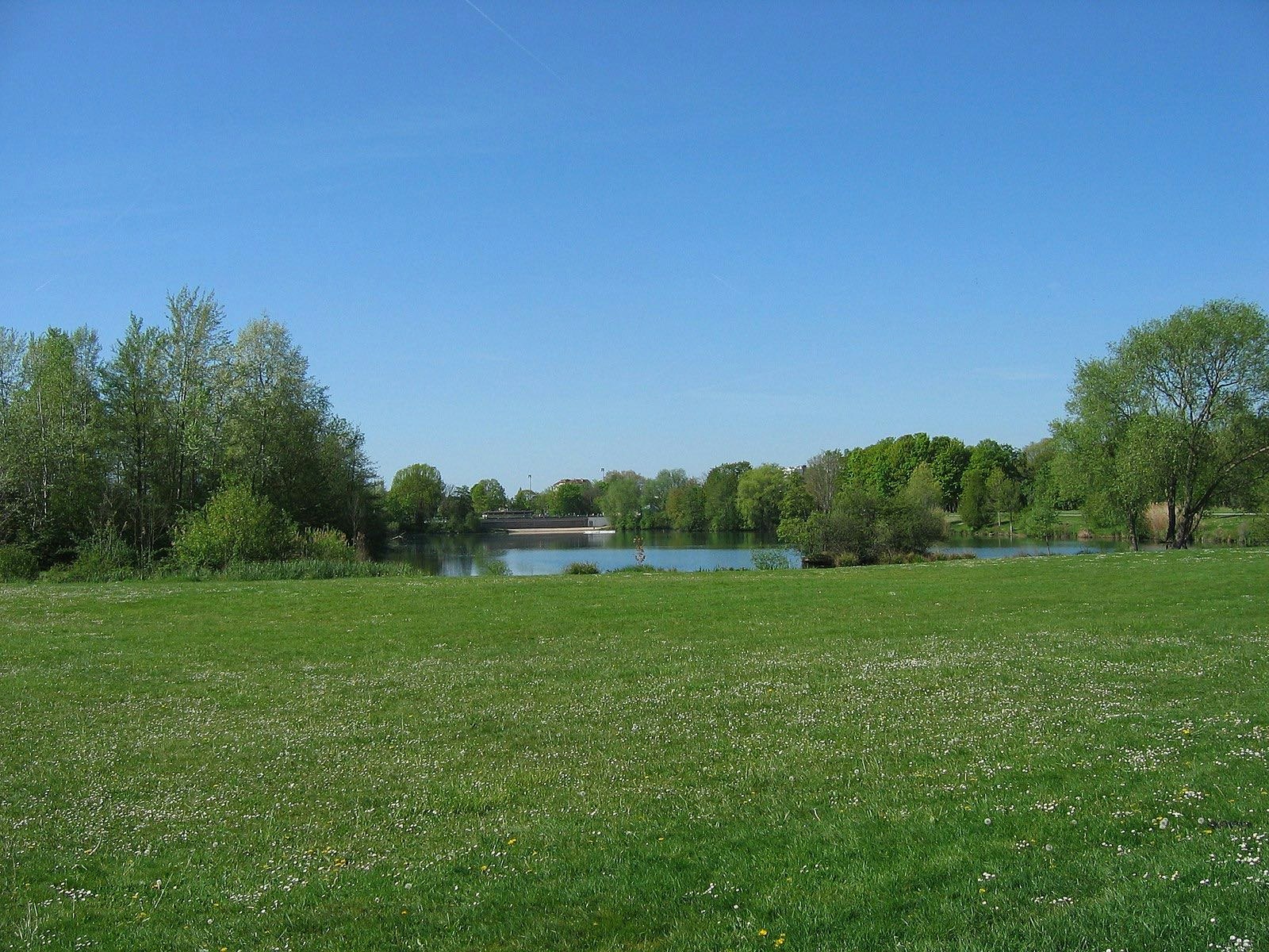
Walk around the leisure center of Port-aux-Cerises, between forests, lawns, the Seine, and the ponds of Mousseaux and Laveissière.

Already more than 200,000 users!
Uphill
25m
Highest point
50m
Downhill
25m
Lowest point
27m
Route type
Loop
Download the map on your smartphone to save battery and rest assured to always keep access to the route, even without signal.
Includes IGN France and Swisstopo.
Parking at the start of the hike.
Gare de Juvisy-sur-Orge nearby (RER C, RER D).
I indicate whether dogs are allowed or prohibited on this trail
All year
0 ratings
Also enjoy:

Already more than 200,000 users!