Uphill
27m
Length
3km
Duration
1h
Elev gain
27m
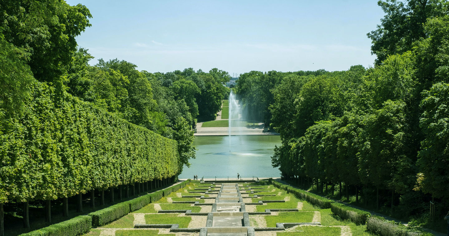
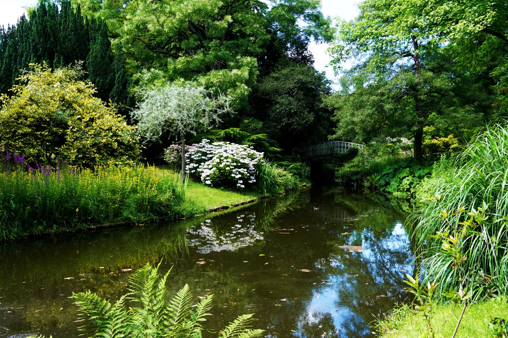
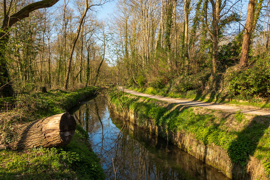
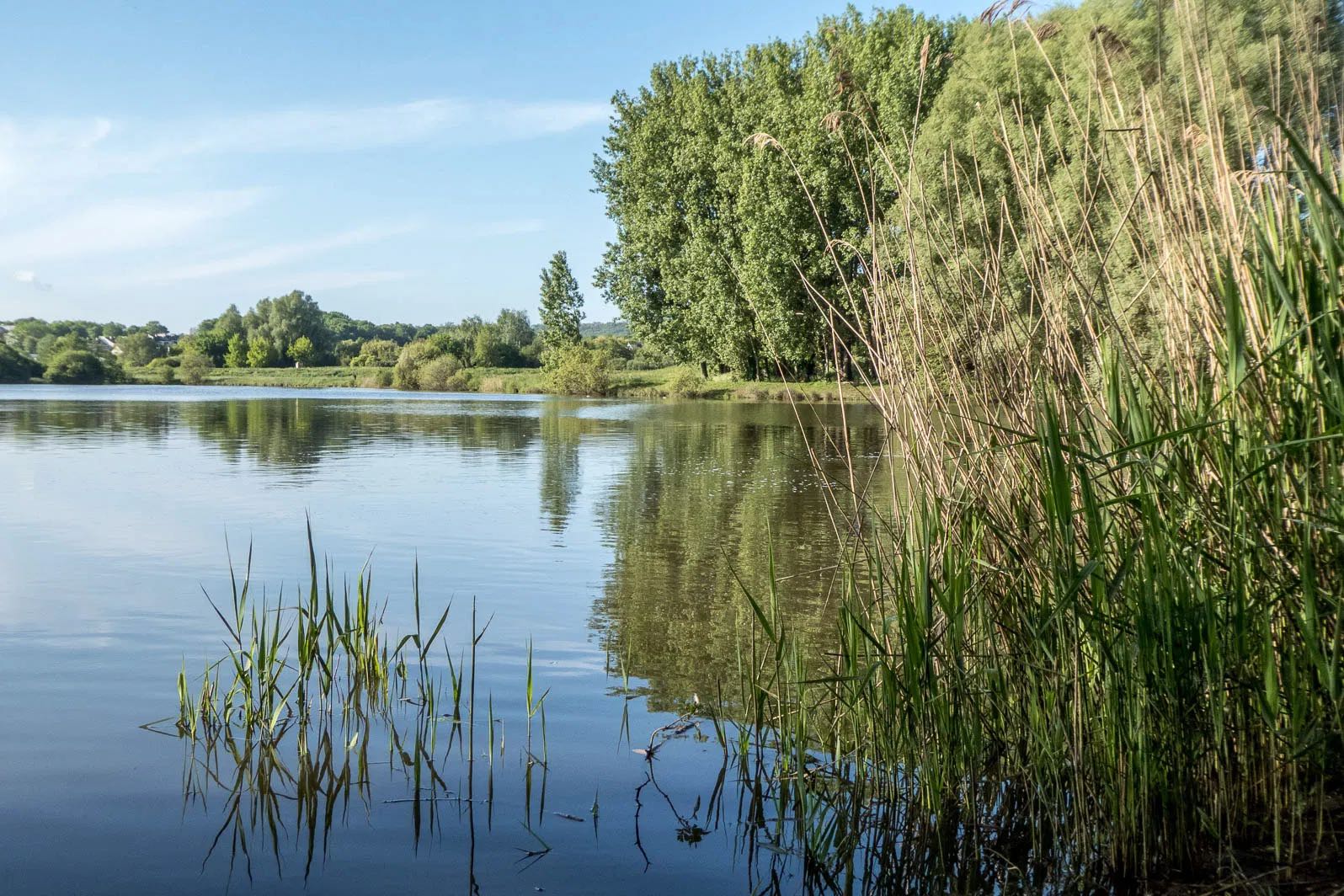
Stroll around a small artificial lake including marshy islands, and presenting a rich flora and fauna.

Already more than 200,000 users!
Uphill
27m
Highest point
52m
Downhill
27m
Lowest point
31m
Route type
Loop
Download the map on your smartphone to save battery and rest assured to always keep access to the route, even without signal.
Includes IGN France and Swisstopo.
I indicate whether dogs are allowed or prohibited on this trail
All year
0 ratings
Also enjoy:

Already more than 200,000 users!