Uphill
273m
Length
13km
Duration
4h
Elev gain
273m
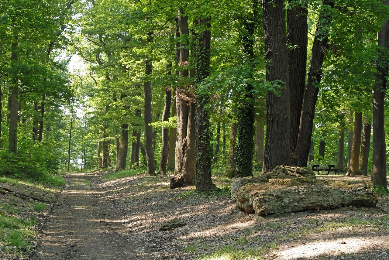
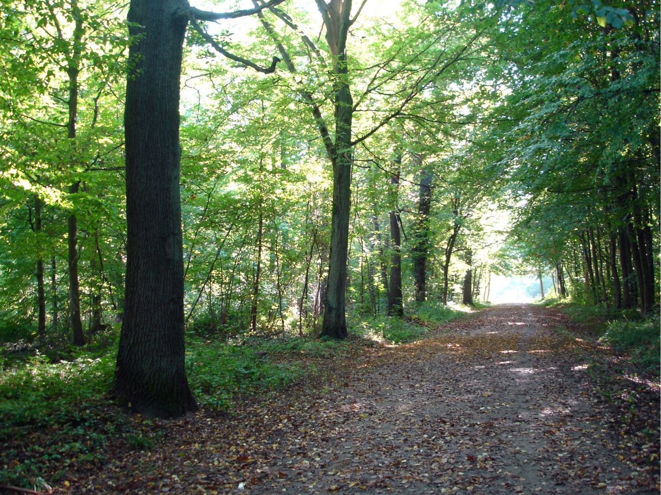
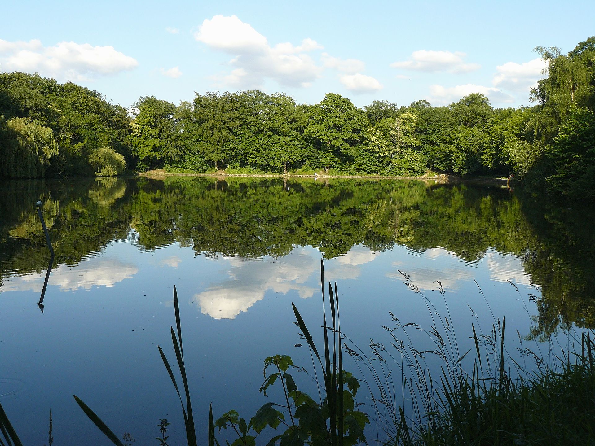
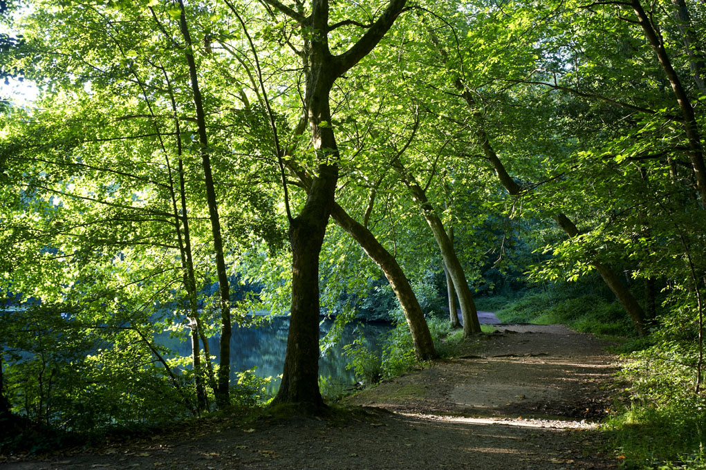
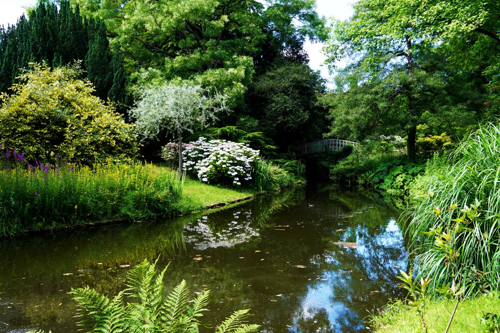
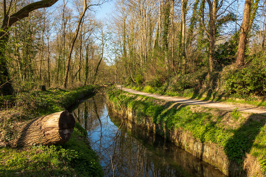
Departing from Bièvres station, this circuit goes deep into the Verrières national forest before going along the Bièvre river. Varied and pleasant landscapes.

Already more than 200,000 users!
Uphill
273m
Highest point
186m
Downhill
273m
Lowest point
57m
Route type
Loop
Download the map on your smartphone to save battery and rest assured to always keep access to the route, even without signal.
Includes IGN France and Swisstopo.
I indicate whether dogs are allowed or prohibited on this trail
All year
2 ratings
Also enjoy:

Already more than 200,000 users!