Uphill
134m
Length
6km
Duration
2h
Elev gain
134m
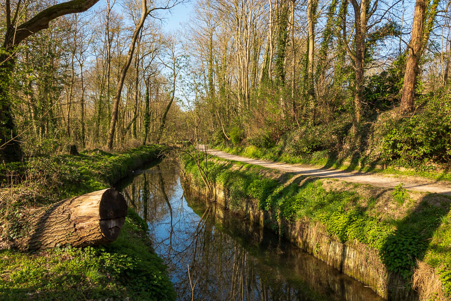
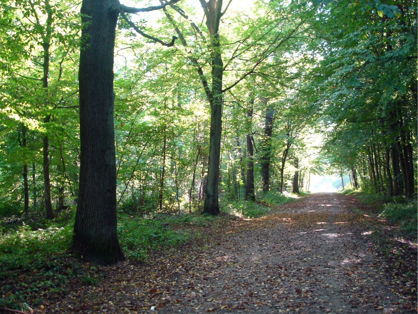
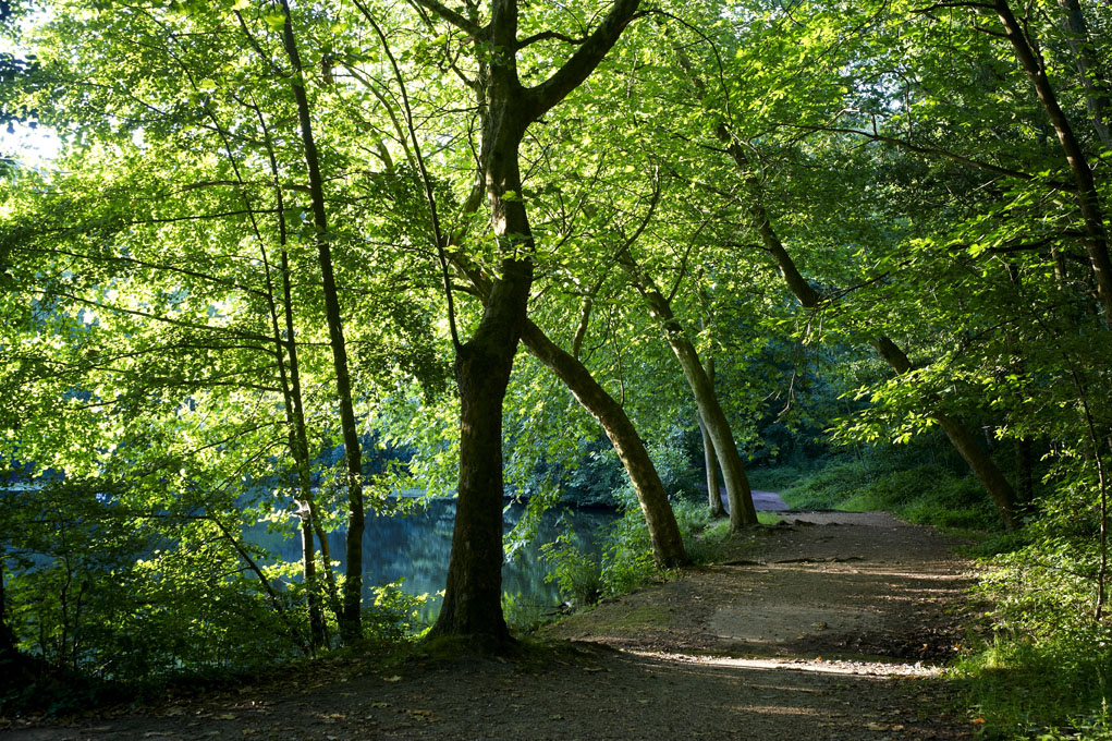
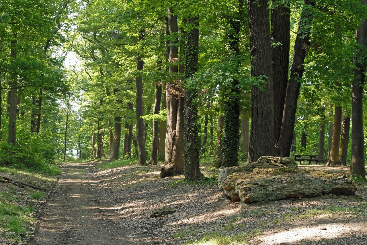
Departing from Bièvres station, this trail first runs along the Bièvre river and the railway line to Vauboyen castle. It then gains height in the forest of Montéclin and the wood of Bel-Air.
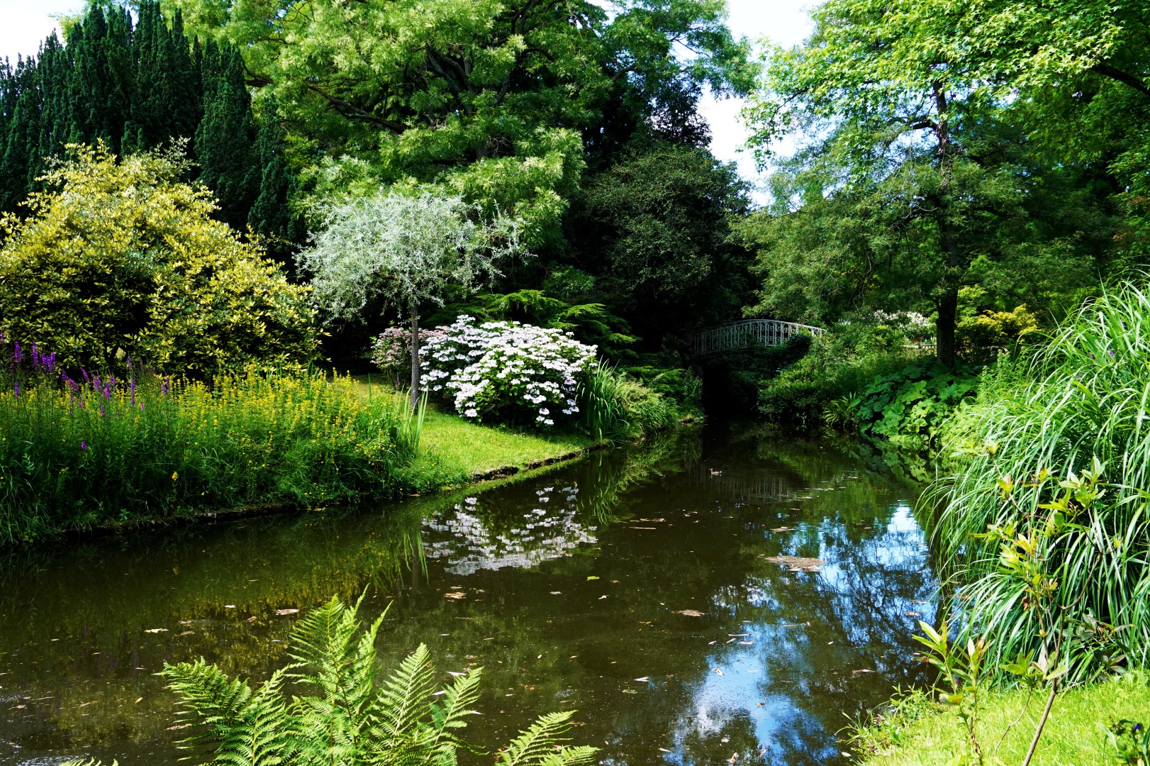
Note that the Maison Littéraire de Victor Hugo is located nearby.

Already more than 200,000 users!
Uphill
134m
Highest point
183m
Downhill
134m
Lowest point
71m
Route type
Loop
Download the map on your smartphone to save battery and rest assured to always keep access to the route, even without signal.
Includes IGN France and Swisstopo.
I indicate whether dogs are allowed or prohibited on this trail
All year
3 ratings
Also enjoy:

Already more than 200,000 users!