Uphill
52m
Length
9km
Duration
2h30min
Elev gain
52m
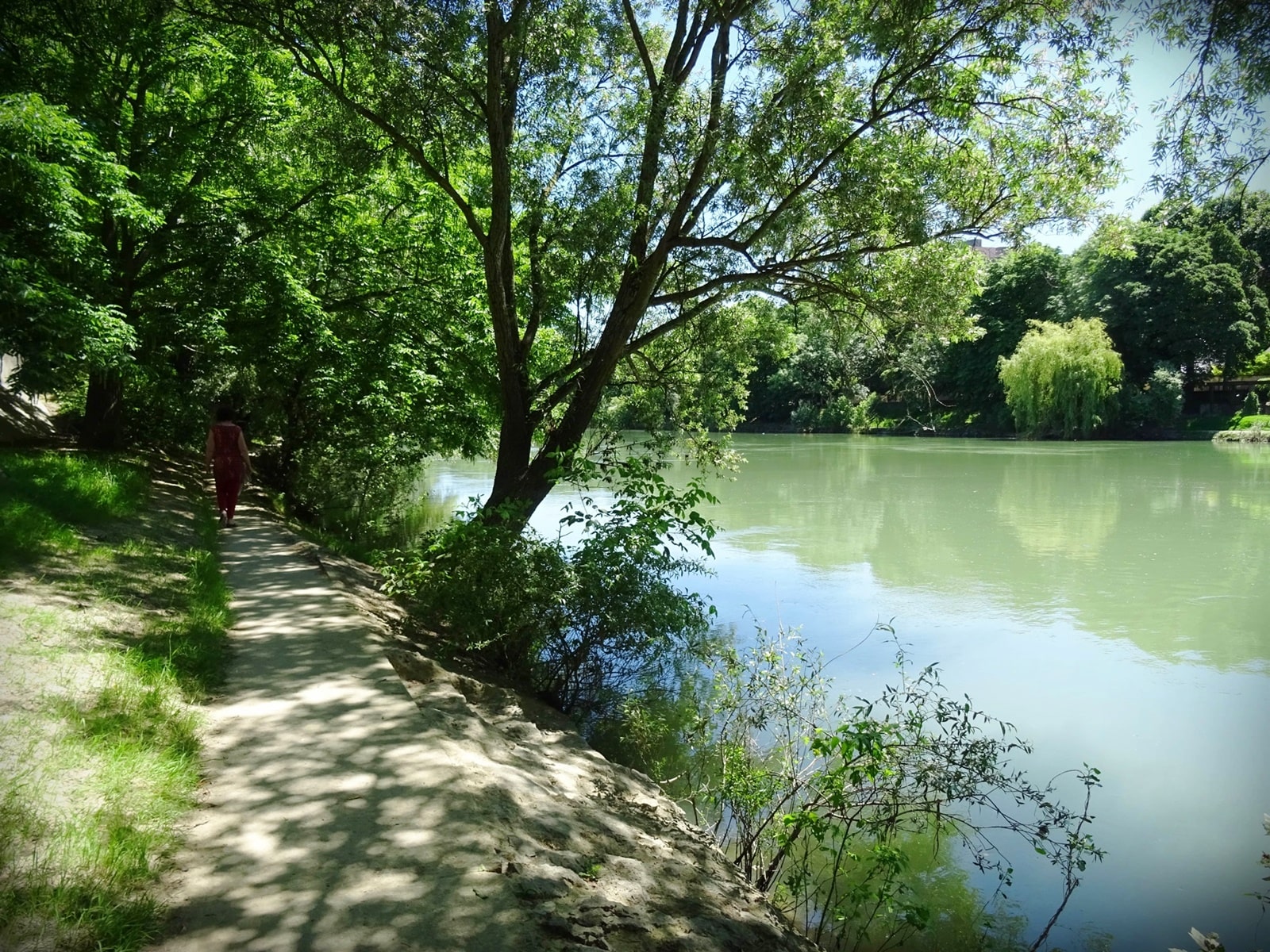
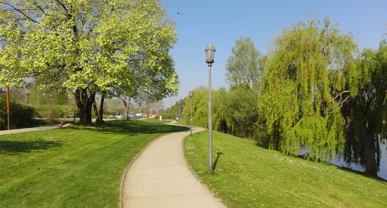
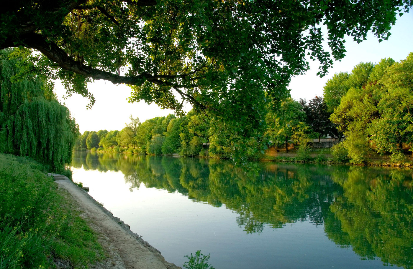
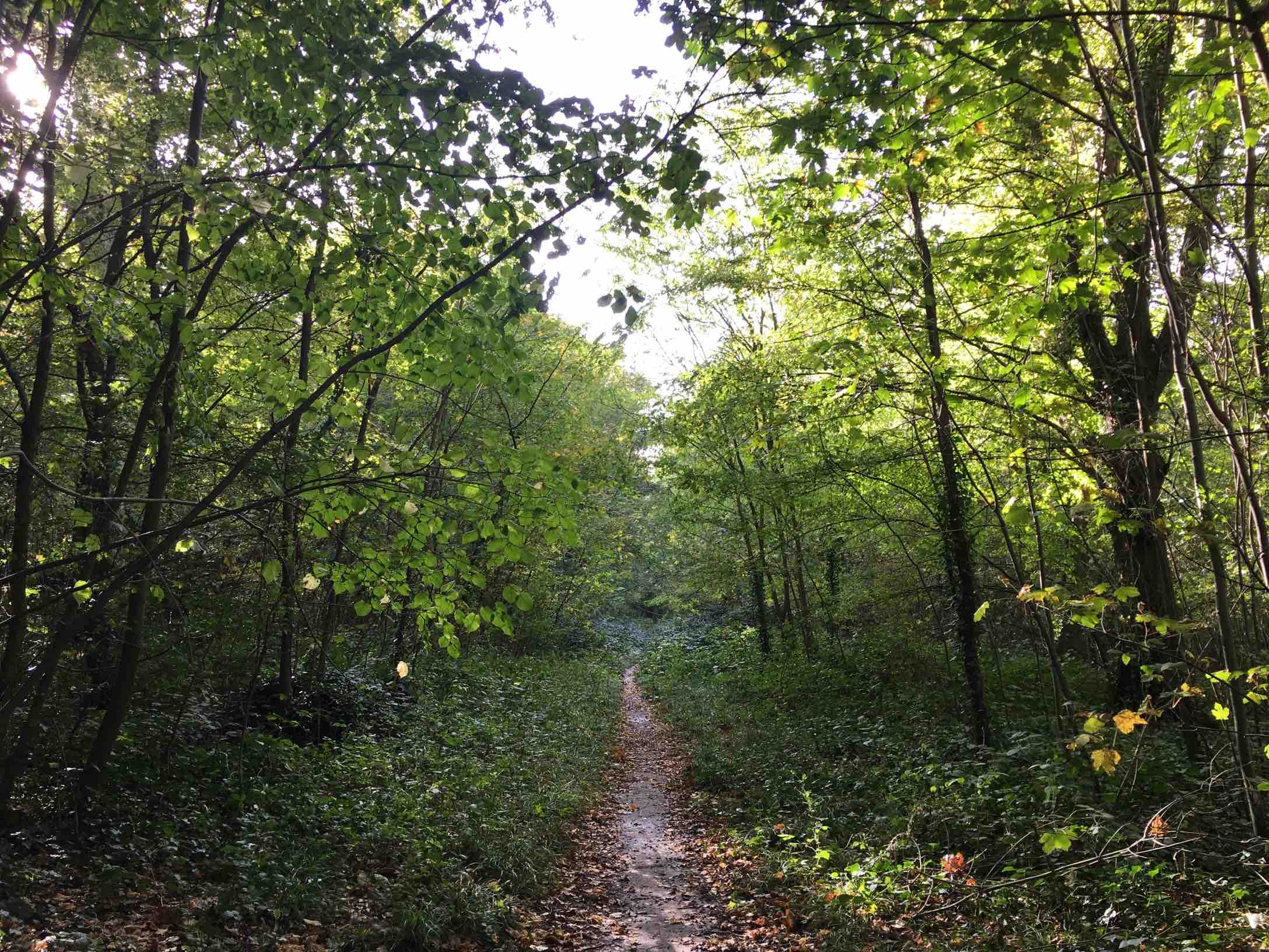
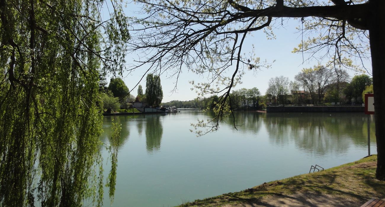
Stroll from station to station on the quays of the Marne, with short detours via Île Fanac and the Polangis canal.
Note that this walk takes place in a predominantly urban environment.

Already more than 200,000 users!
Uphill
52m
Highest point
65m
Downhill
72m
Lowest point
16m
Route type
One way
Download the map on your smartphone to save battery and rest assured to always keep access to the route, even without signal.
Includes IGN France and Swisstopo.
I indicate whether dogs are allowed or prohibited on this trail
All year
1 rating
Also enjoy:

Already more than 200,000 users!