Uphill
292m
Length
18km
Duration
5h
Elev gain
292m
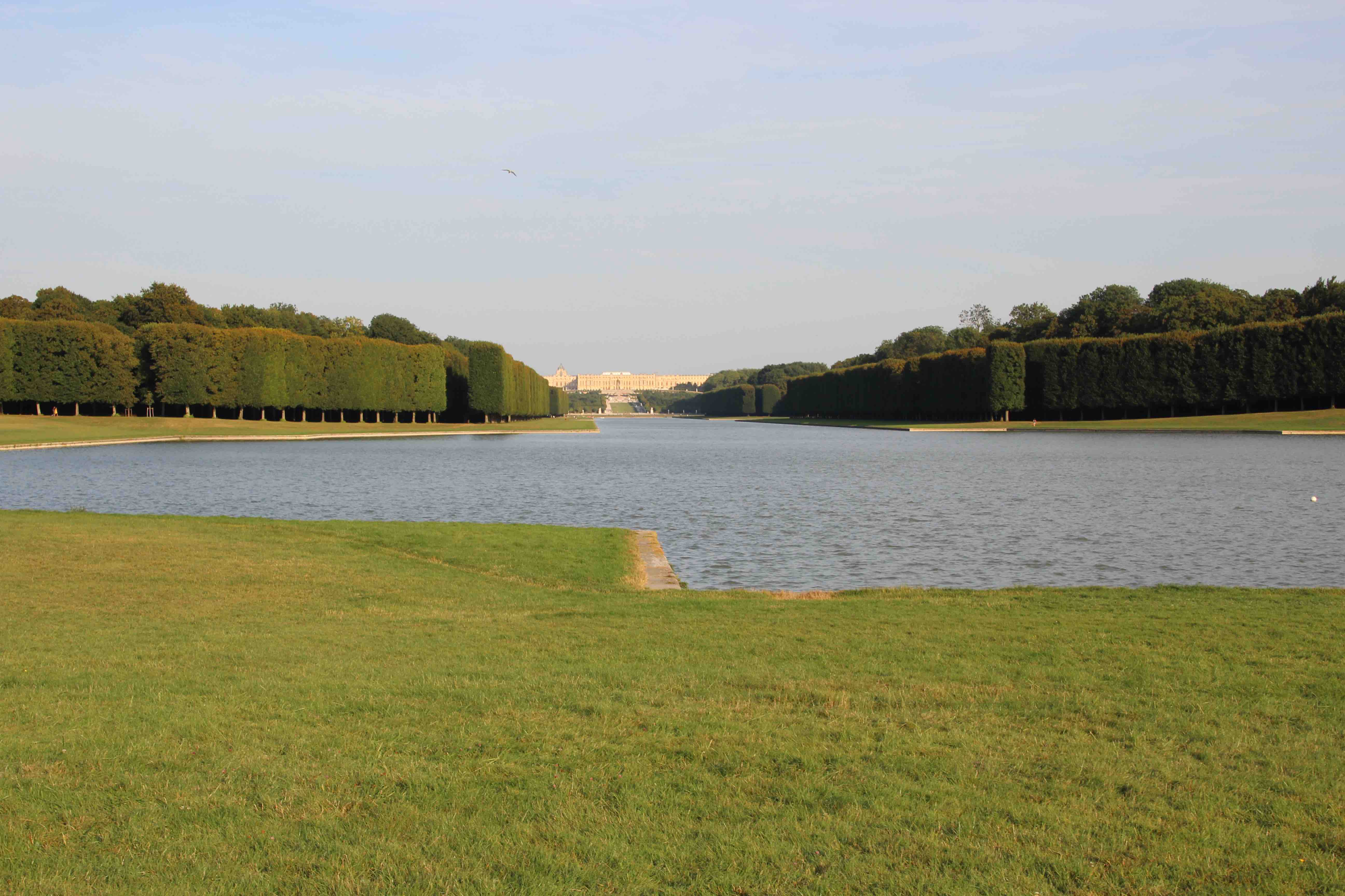
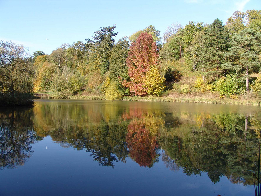
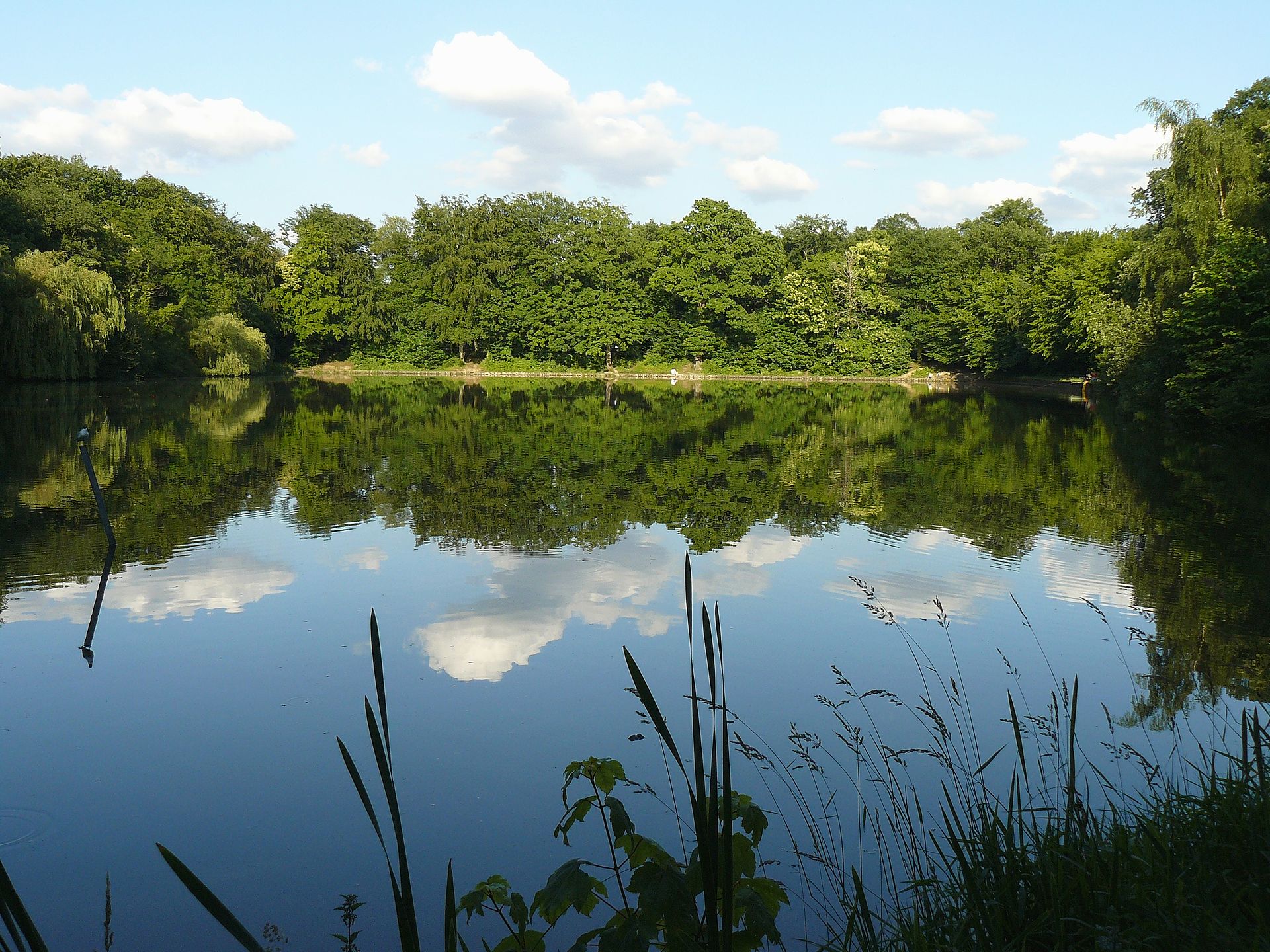
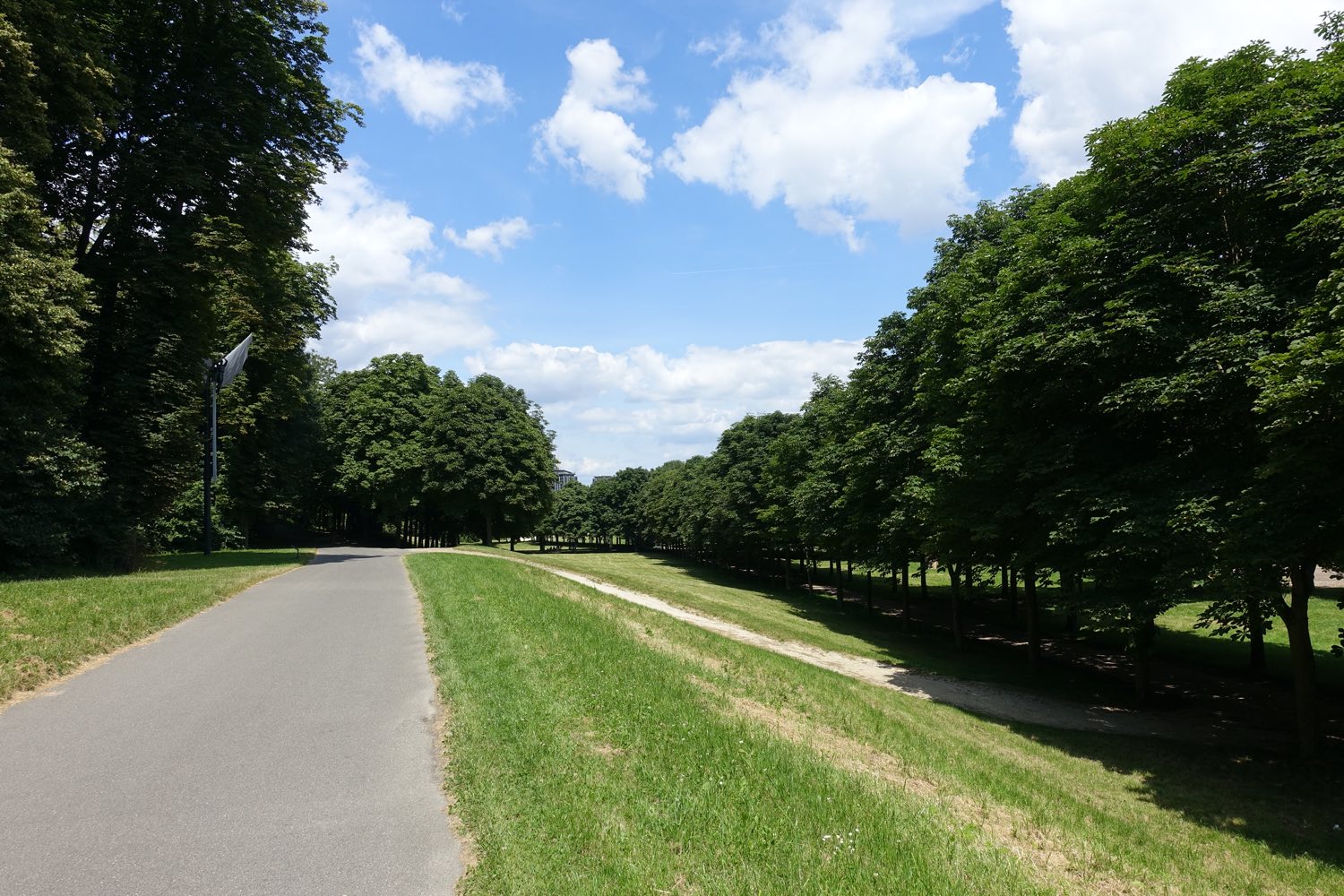
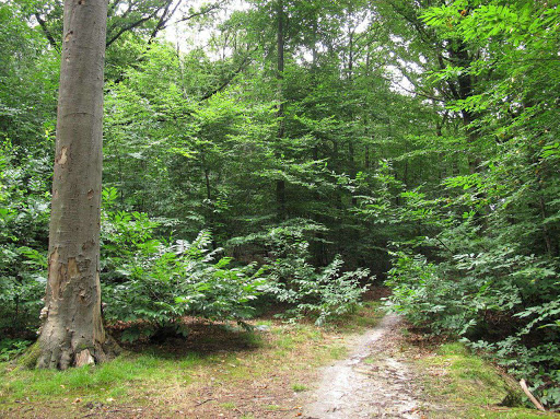
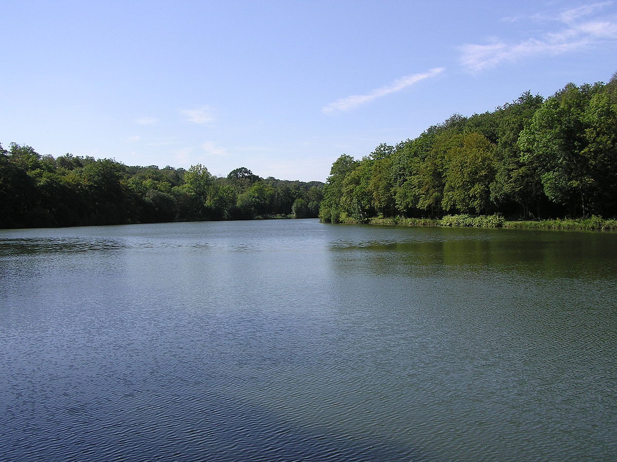
Leaving from Versailles-Chantiers, this loop trails allows you to discover many ponds in a relatively unspoiled setting.

Already more than 200,000 users!
Uphill
292m
Highest point
191m
Downhill
292m
Lowest point
108m
Route type
Loop
Download the map on your smartphone to save battery and rest assured to always keep access to the route, even without signal.
Includes IGN France and Swisstopo.
I indicate whether dogs are allowed or prohibited on this trail
All year
0 ratings
Also enjoy:

Already more than 200,000 users!