Uphill
218m
Length
18km
Duration
5h
Elev gain
218m
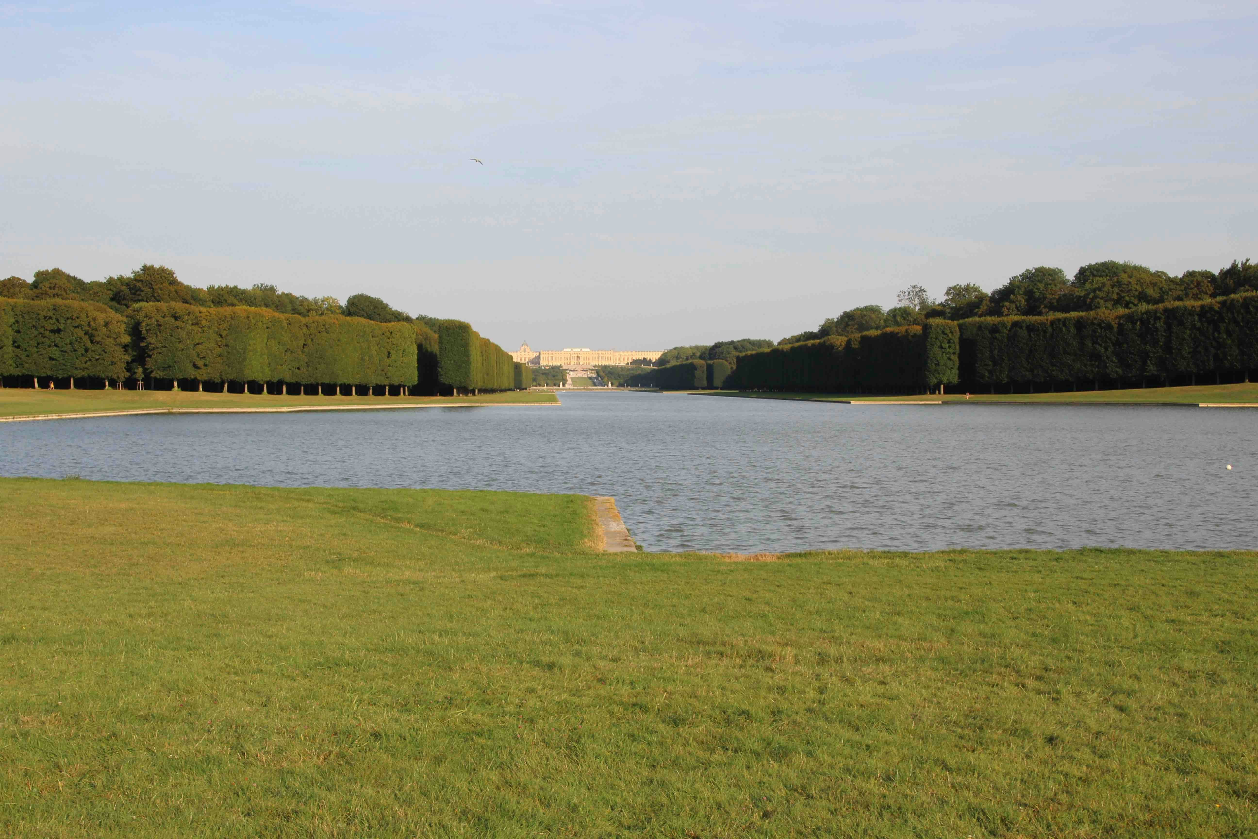
Away from the French gardens, this is a loop through the wildest corners of the Parc de Versailles.

Already more than 200,000 users!
Uphill
218m
Highest point
158m
Downhill
218m
Lowest point
93m
Route type
Loop
Download the map on your smartphone to save battery and rest assured to always keep access to the route, even without signal.
Includes IGN France and Swisstopo.
I indicate whether dogs are allowed or prohibited on this trail
All year
2 ratings
Balade sympa, dans un parc qui ne se présente plus… Autant il y a beaucoup de monde à proximité du château et des cafés, autant c’est plus calme à l’autre extrémité. Et plus boisé.
Also enjoy:

Already more than 200,000 users!


