Uphill
307m
Length
16km
Duration
4h30min
Elev gain
307m
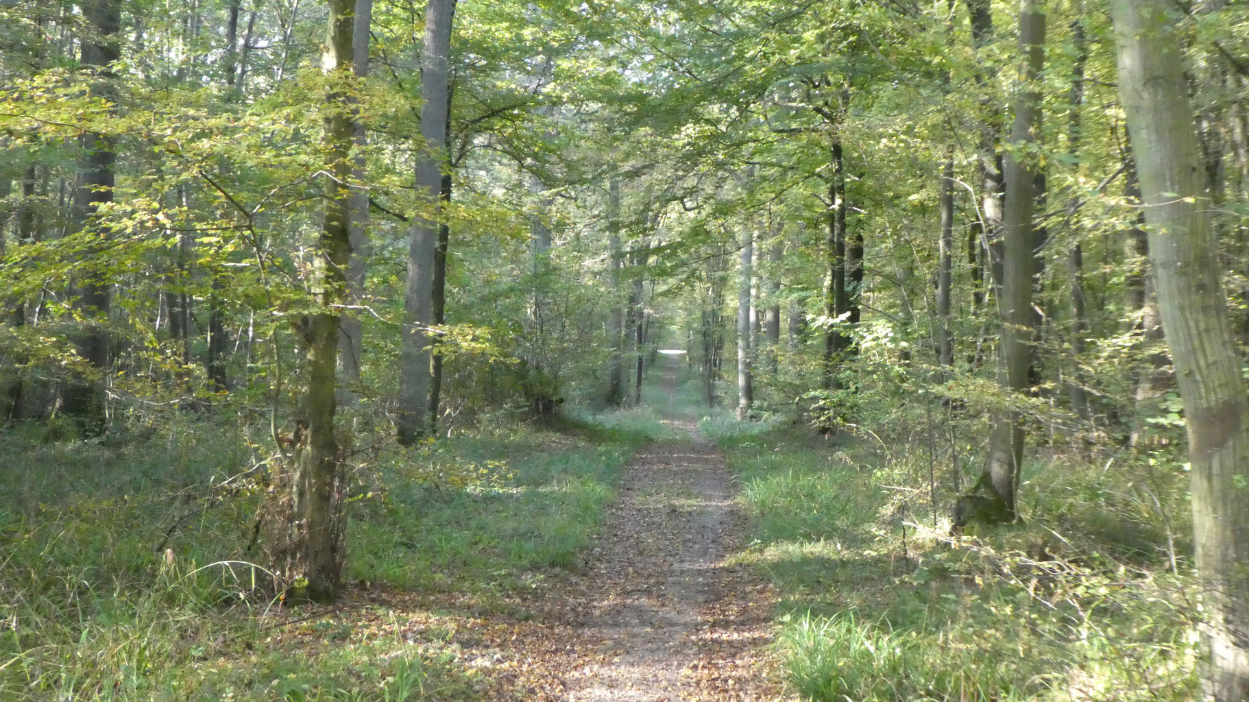
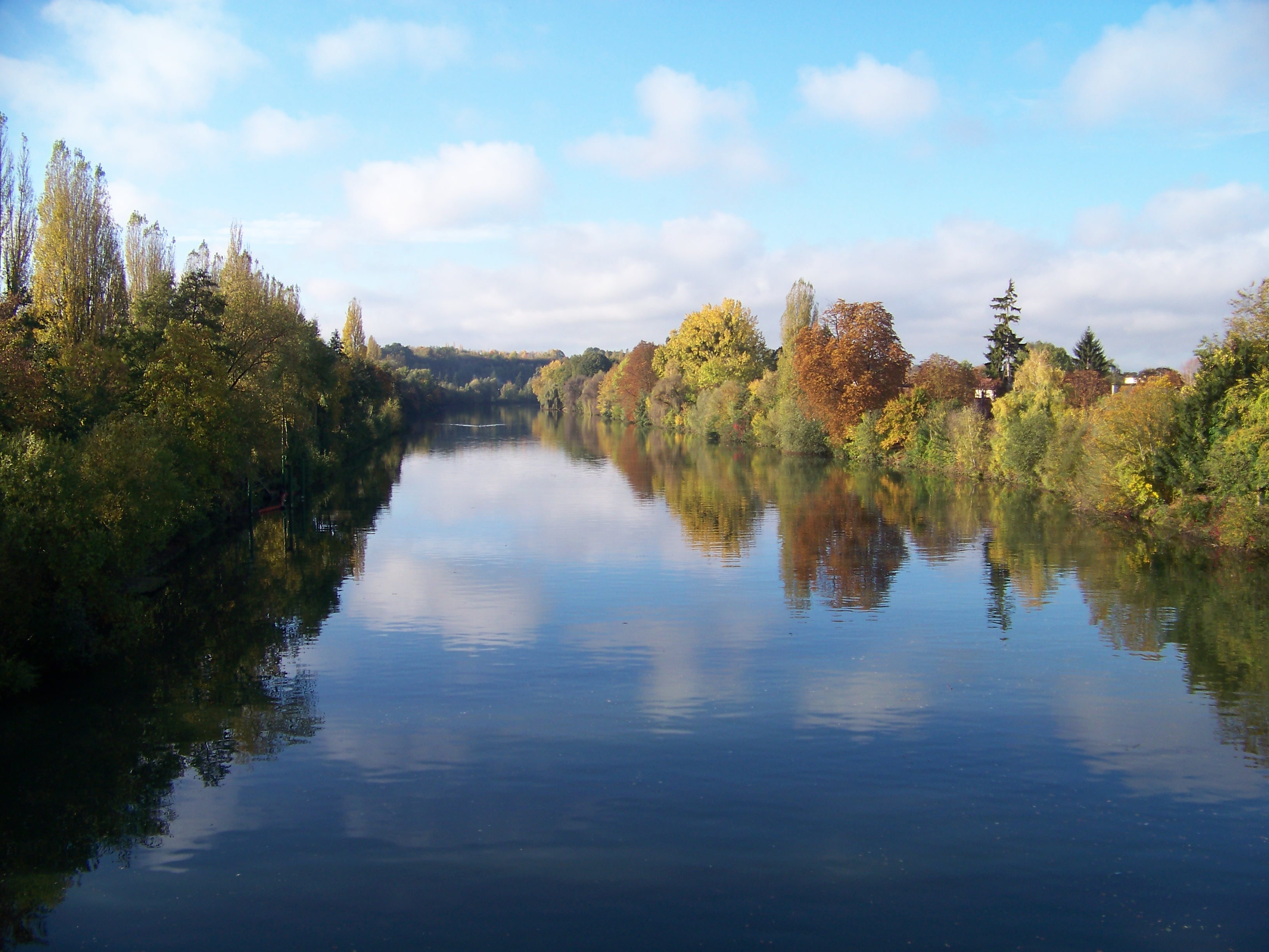
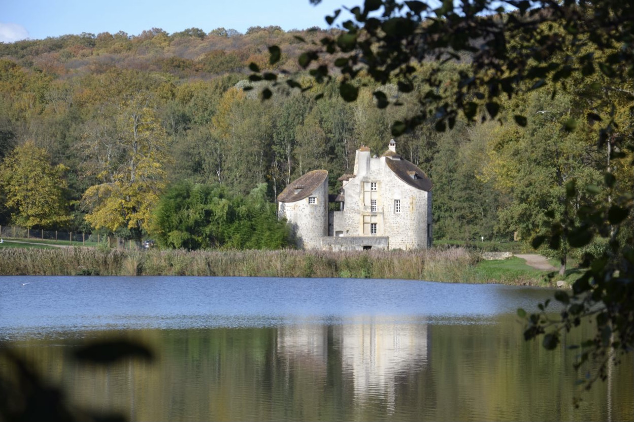
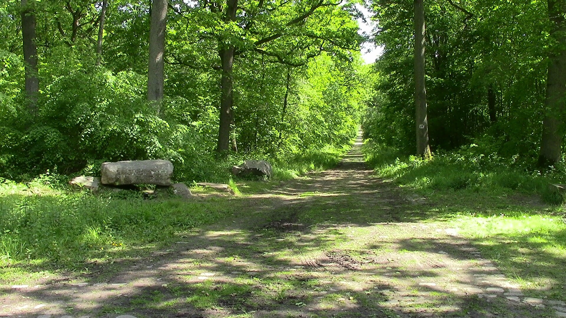
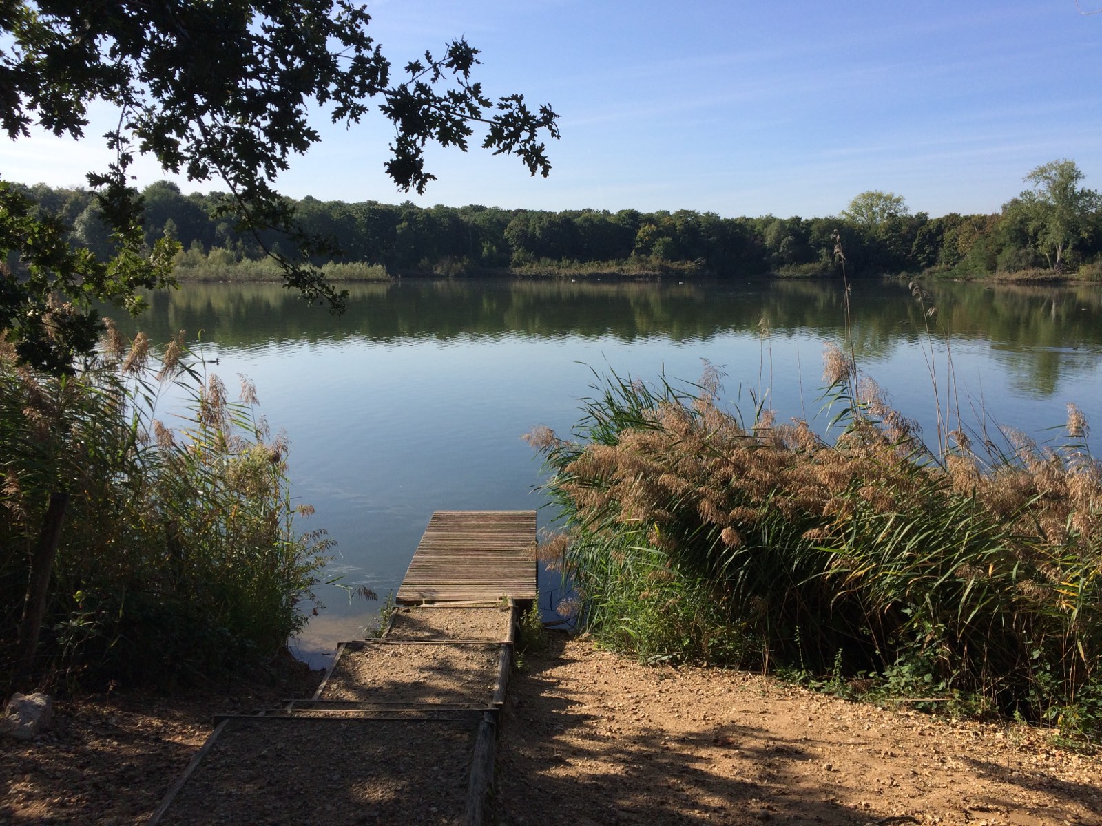
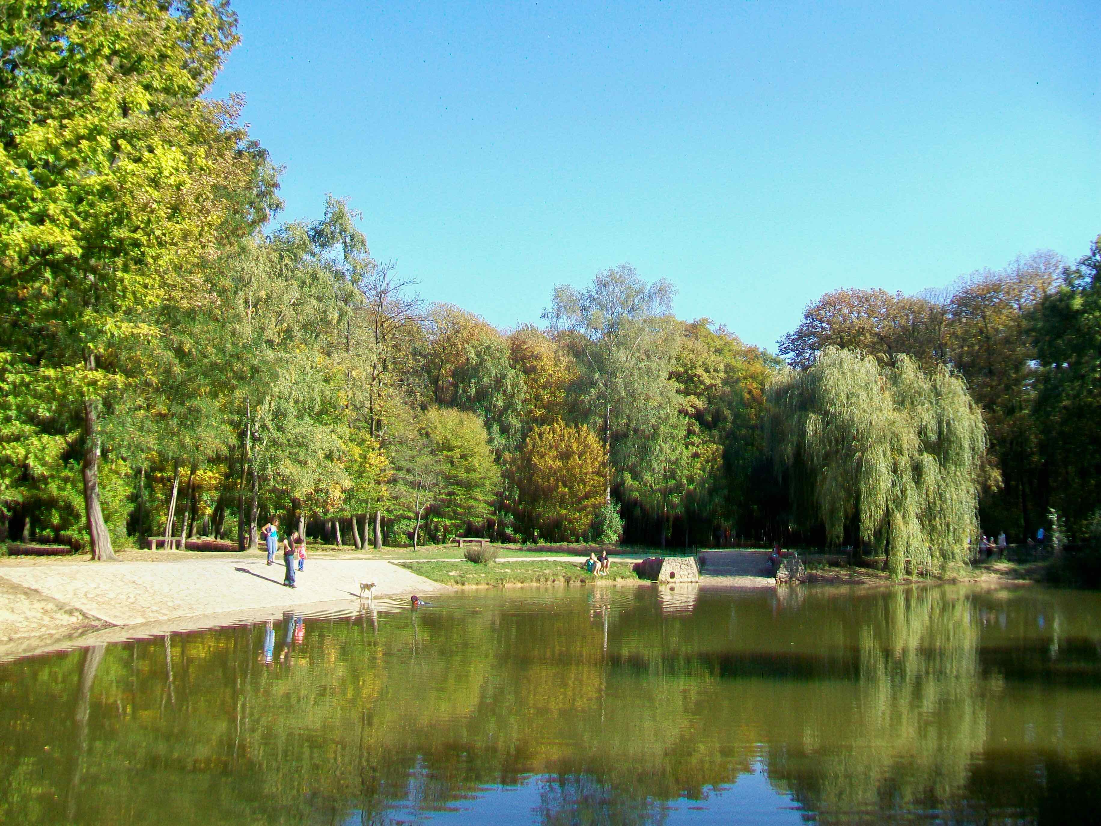
Departing from Taverny station, here is a loop walk in the Montmorency forest, a hilly massif mostly made up of oaks. The trail allows you to discover the Chasse ponds and its 12th century castle.

Already more than 200,000 users!
Uphill
307m
Highest point
206m
Downhill
307m
Lowest point
89m
Route type
Loop
Download the map on your smartphone to save battery and rest assured to always keep access to the route, even without signal.
Includes IGN France and Swisstopo.
4 ratings
Also enjoy:

Already more than 200,000 users!