Get App
East of Forêt de Montmorency

East of Forêt de Montmorency

Easy

France > Île-de-France > Val-d'Oise

Interesting trail

Length

10km

Duration

3h

Elev gain

173m


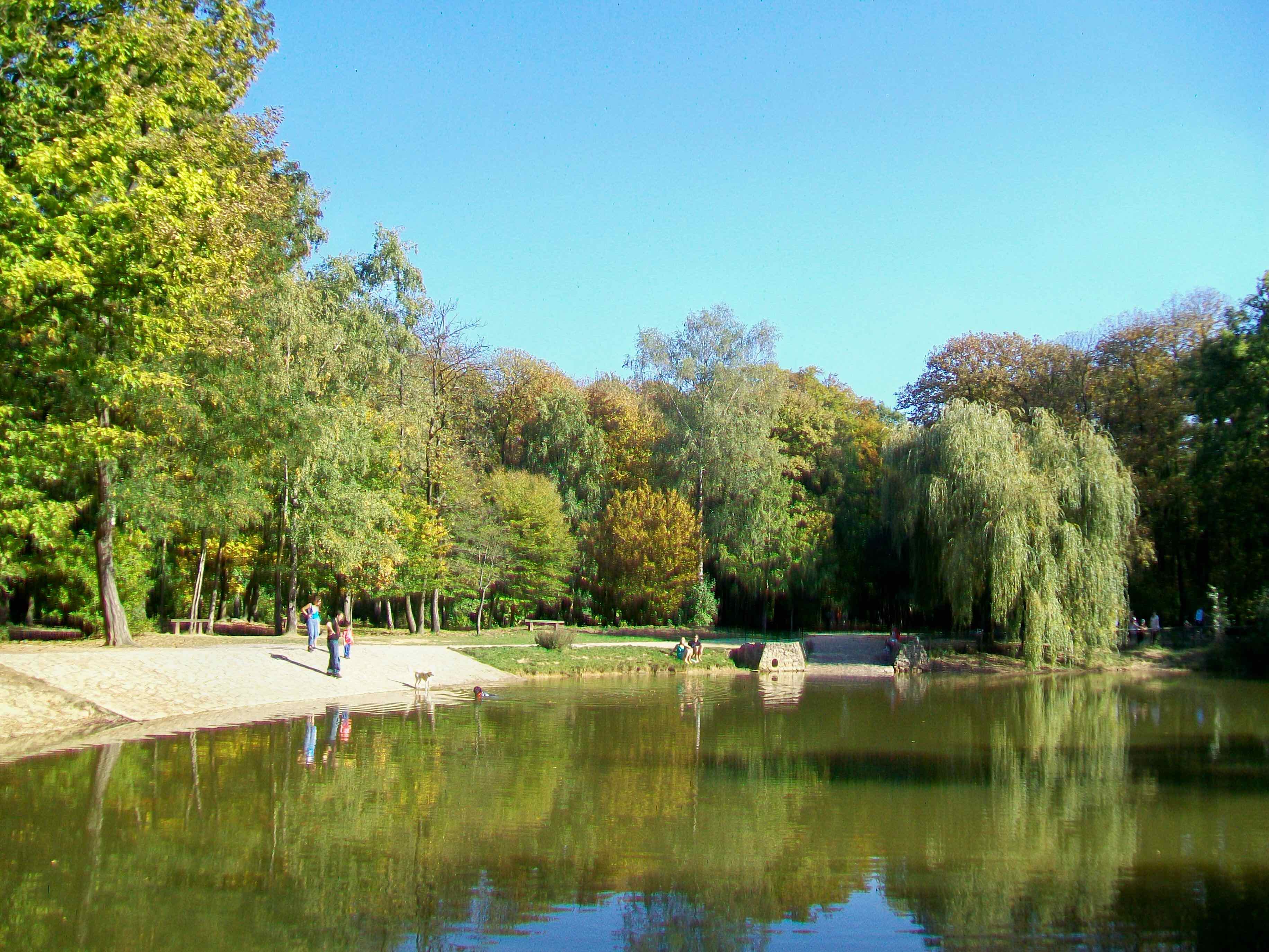
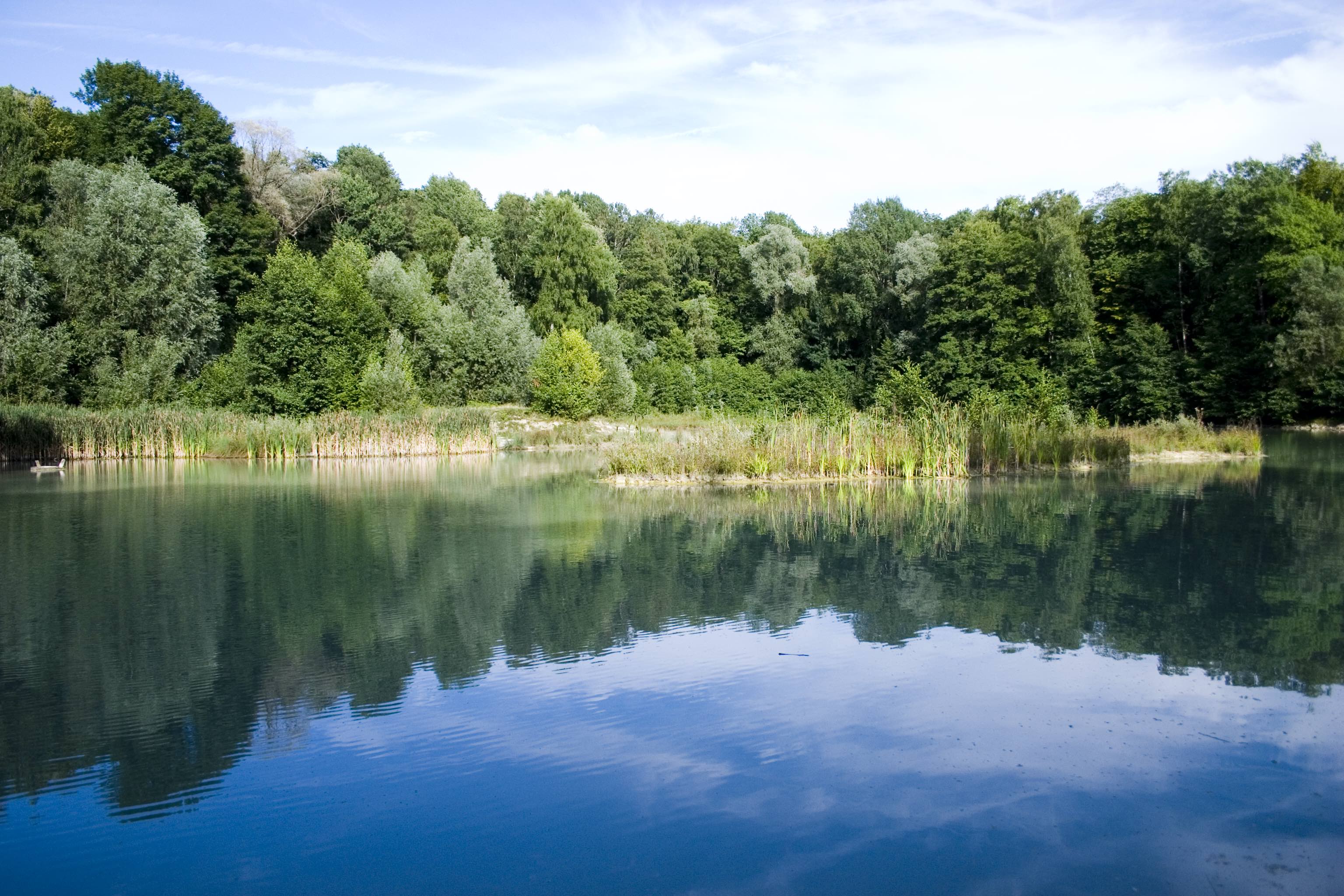
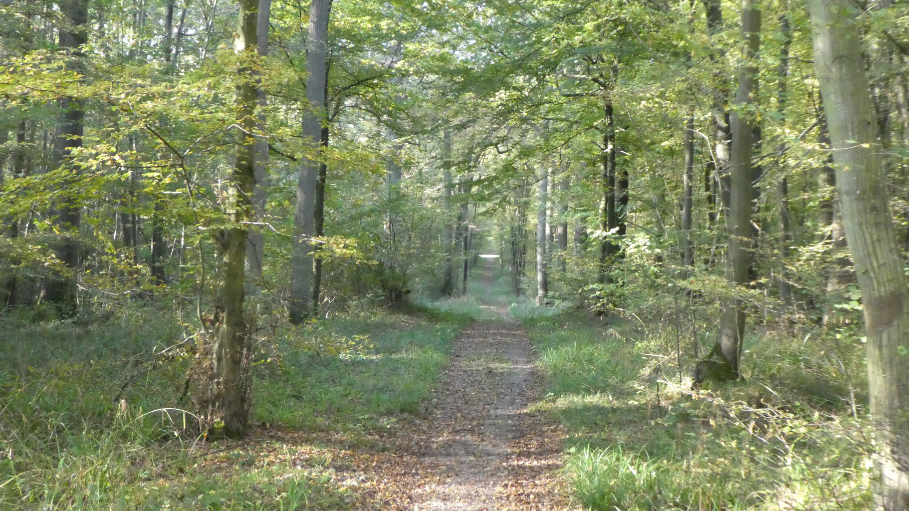
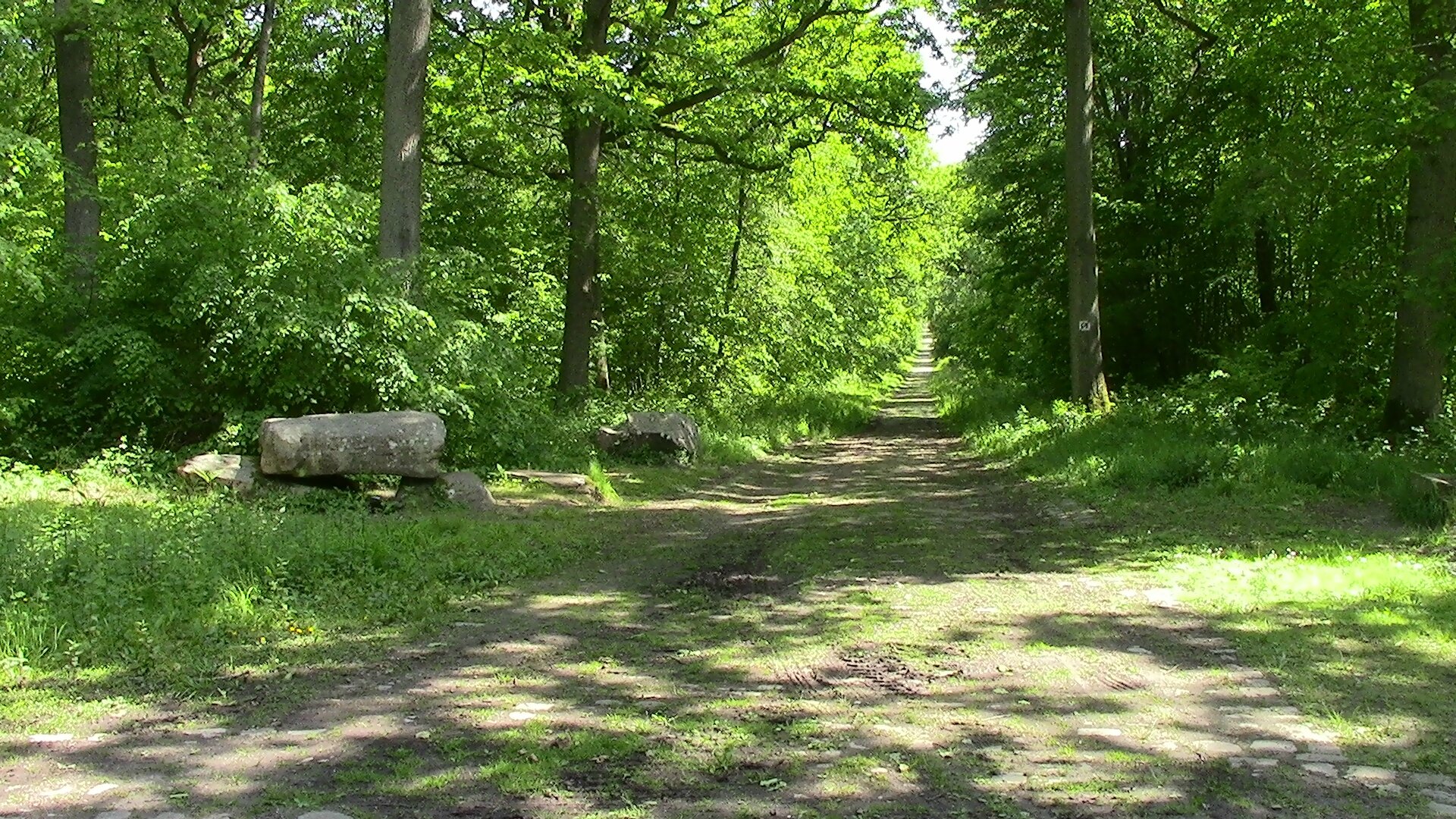
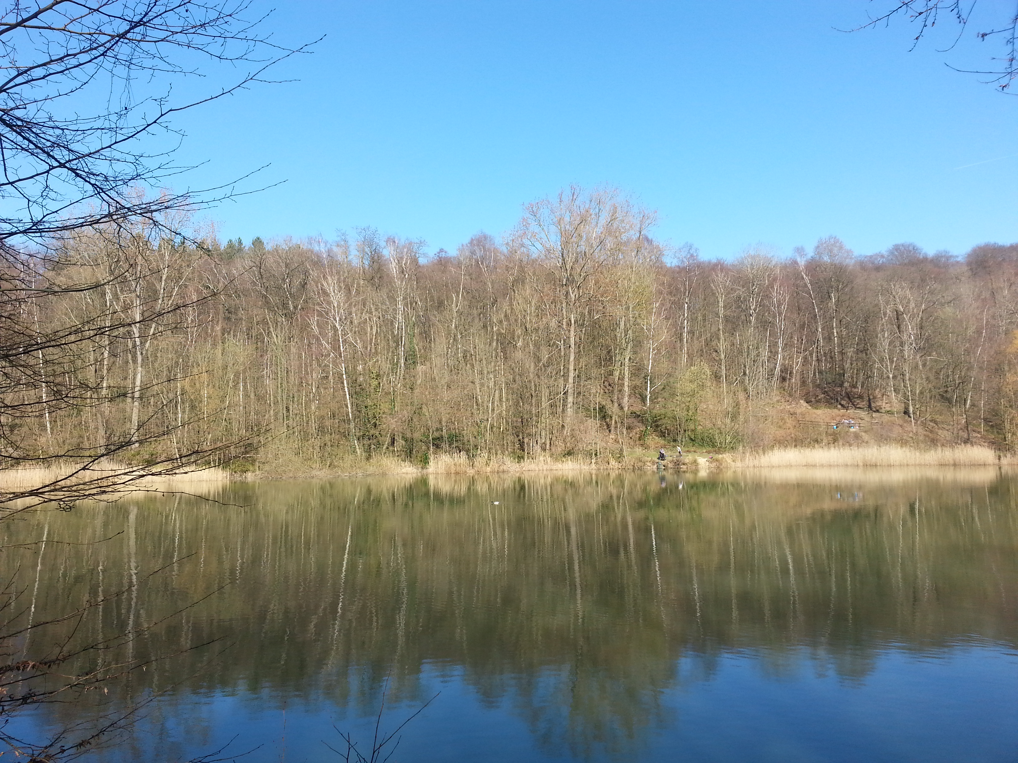
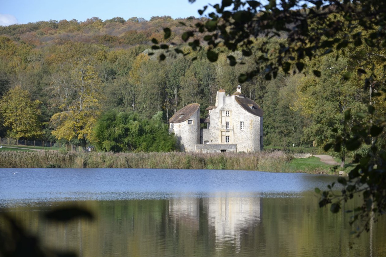
Walk in the pretty forest of Montmorency, starting from the Château de la Chasse and its ponds.


Directions

A better experience awaits in the app!

  • Detailed offline maps including IGN
  • Trail recording
  • Exclusive content, and more!
Hika app
Download app

Already more than 200,000 users!

Map and elevation

Elevation

10.2km 92m

Uphill

173m

Highest point

214m

Downhill

173m

Lowest point

92m

Route type

Loop

Offline

Download the map on your smartphone to save battery and rest assured to always keep access to the route, even without signal.

Includes IGN France and Swisstopo.

Getting there

Parking du Bouquet de la Vallée.

Get directions

About this trail

Dogs

Authorised on a leash


Equipment

Check Hika’s packing guide


Season

All year

Reviews


Ratings summary

Excellent
0
Good
1
Average
0
Disappointing
0
Terrible
0

1 rating