Uphill
186m
Length
12km
Duration
3h30min
Elev gain
186m
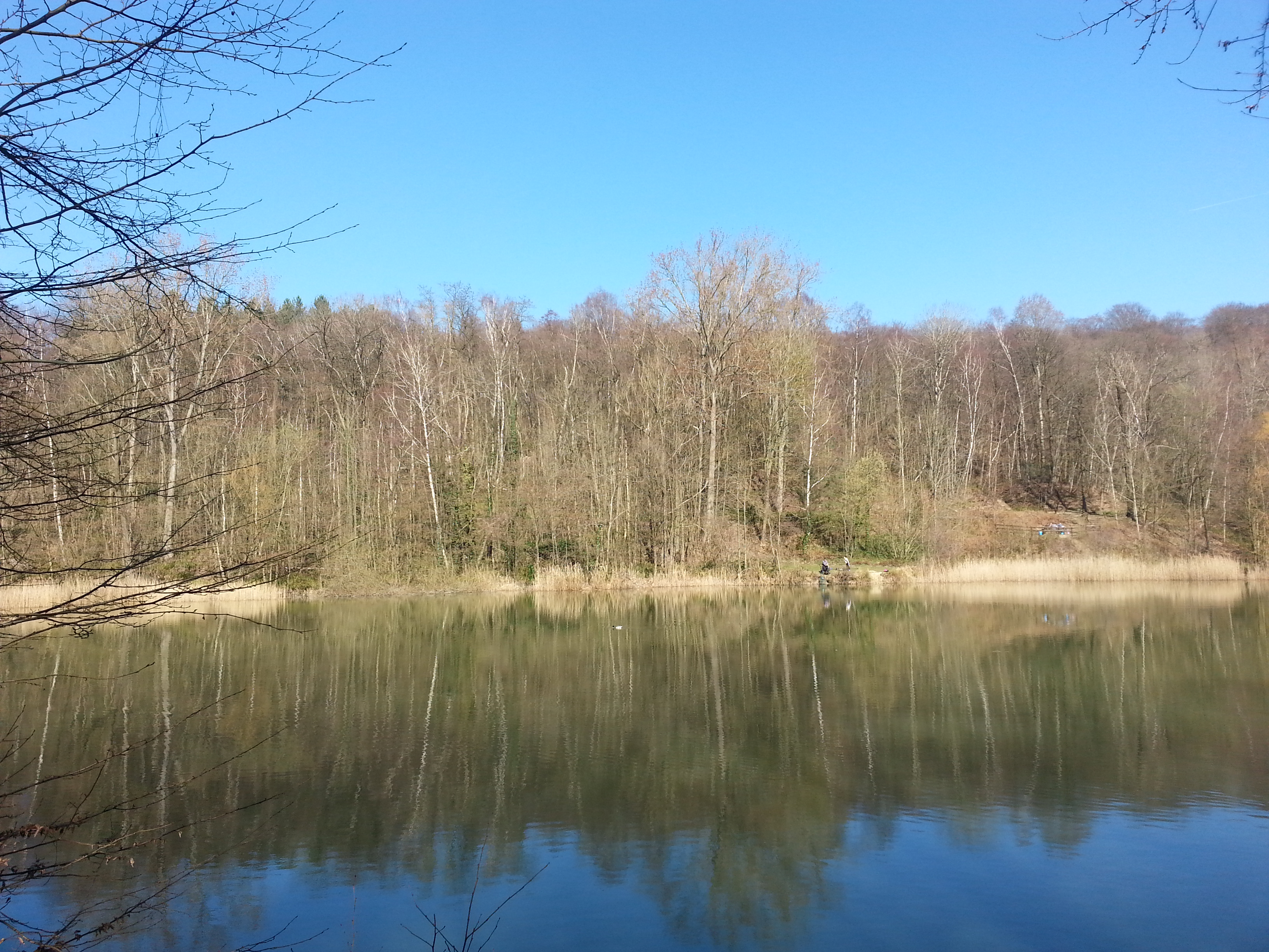
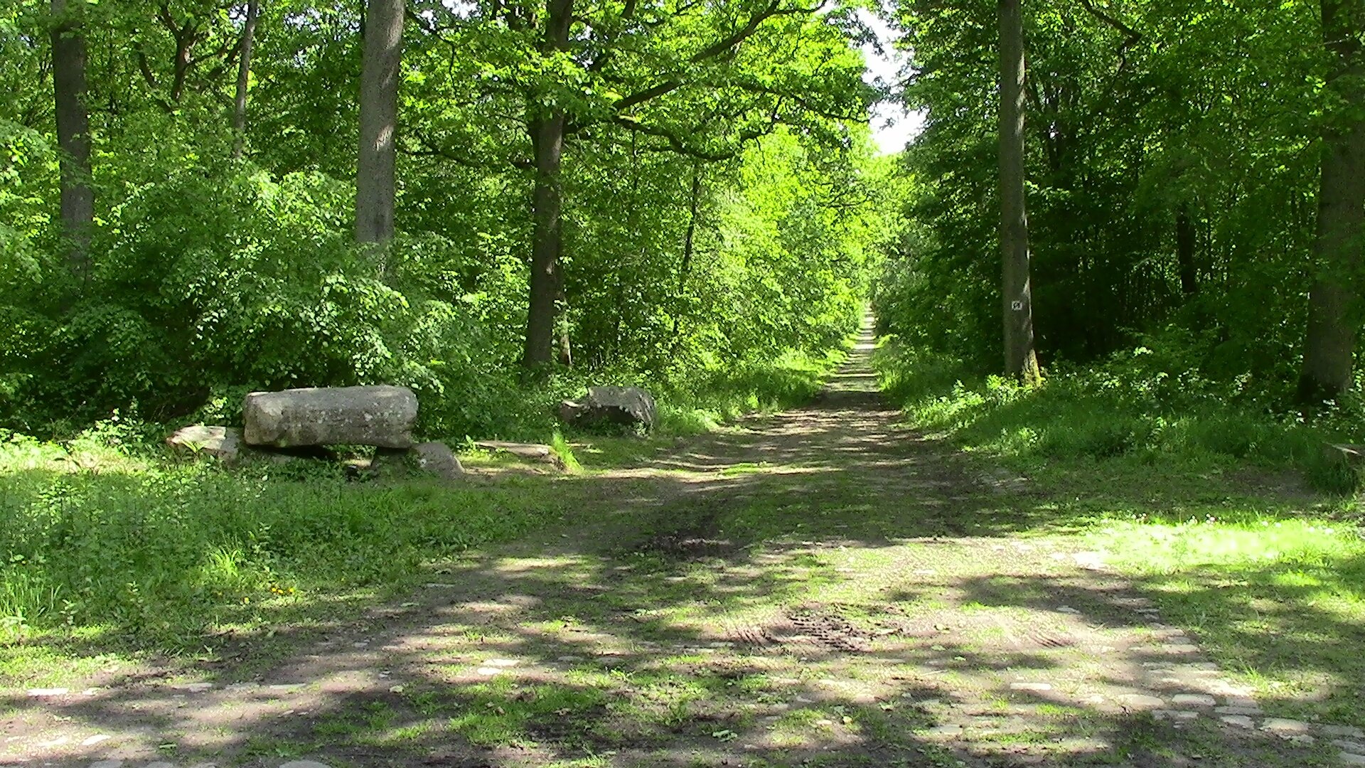
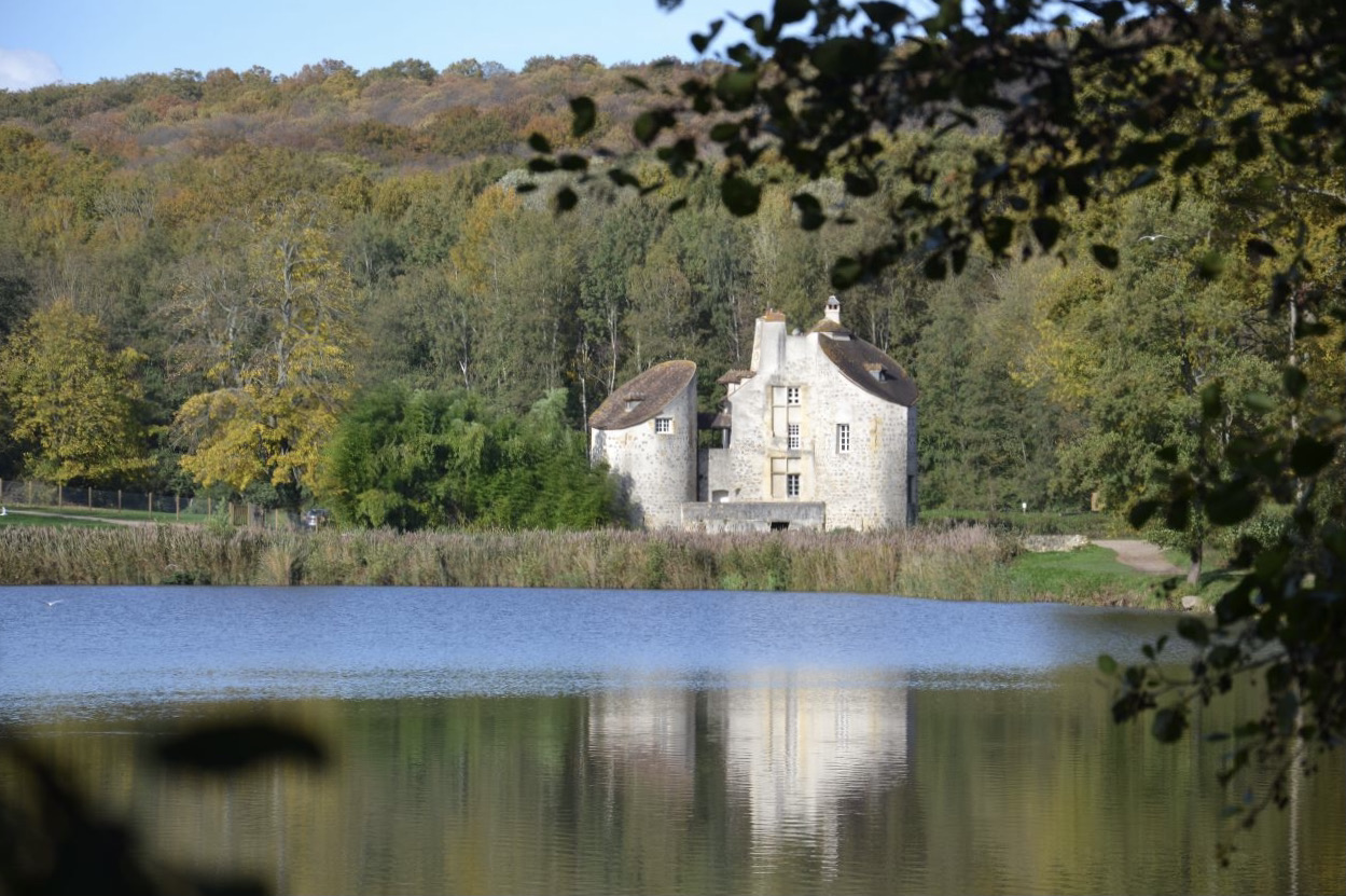
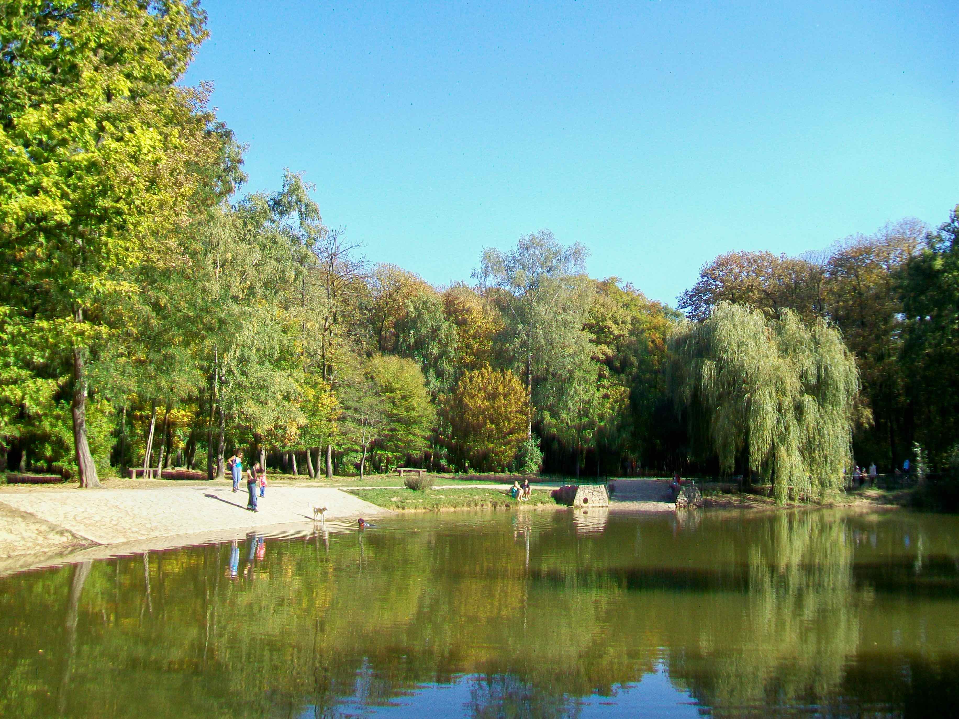
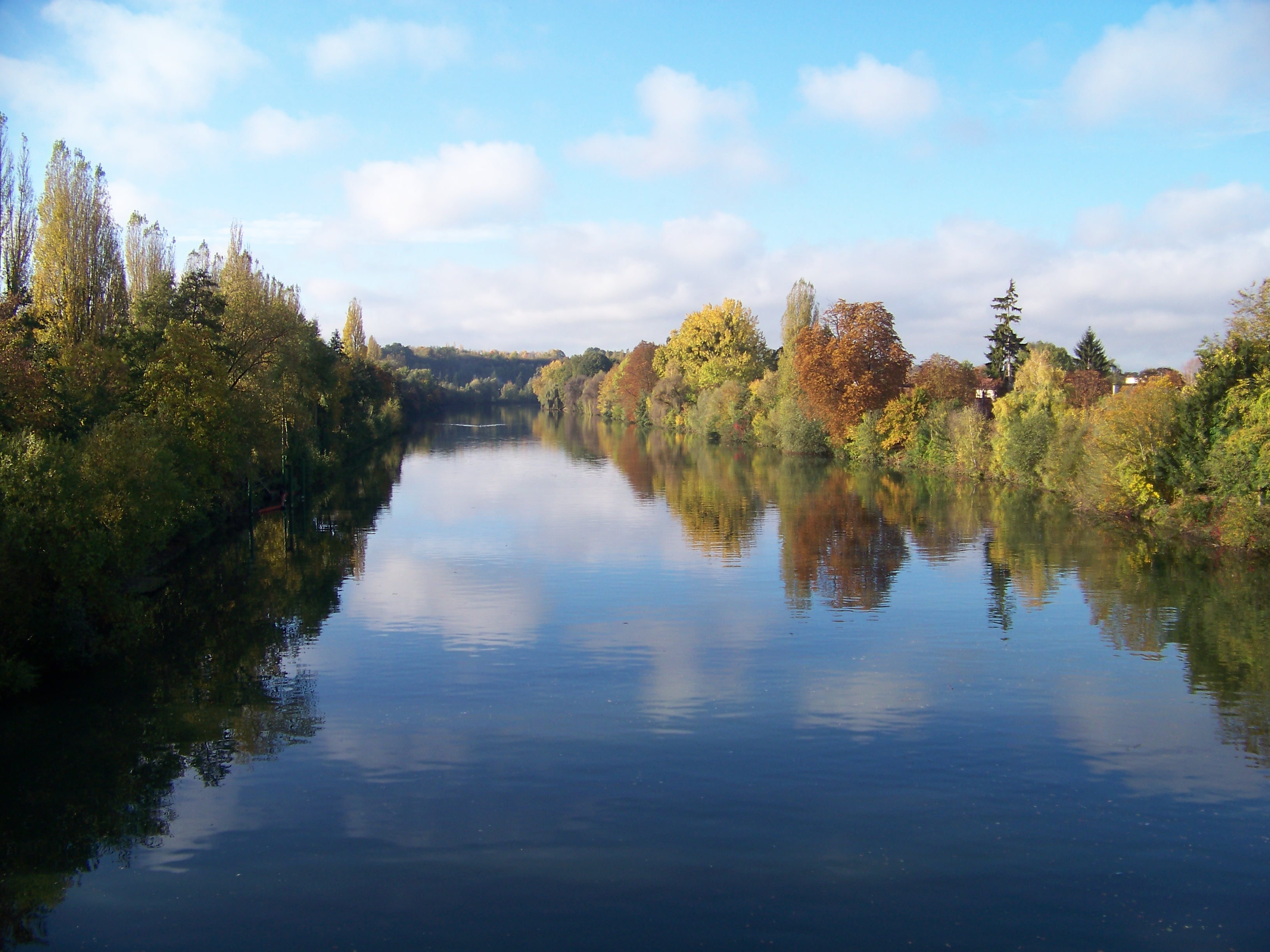
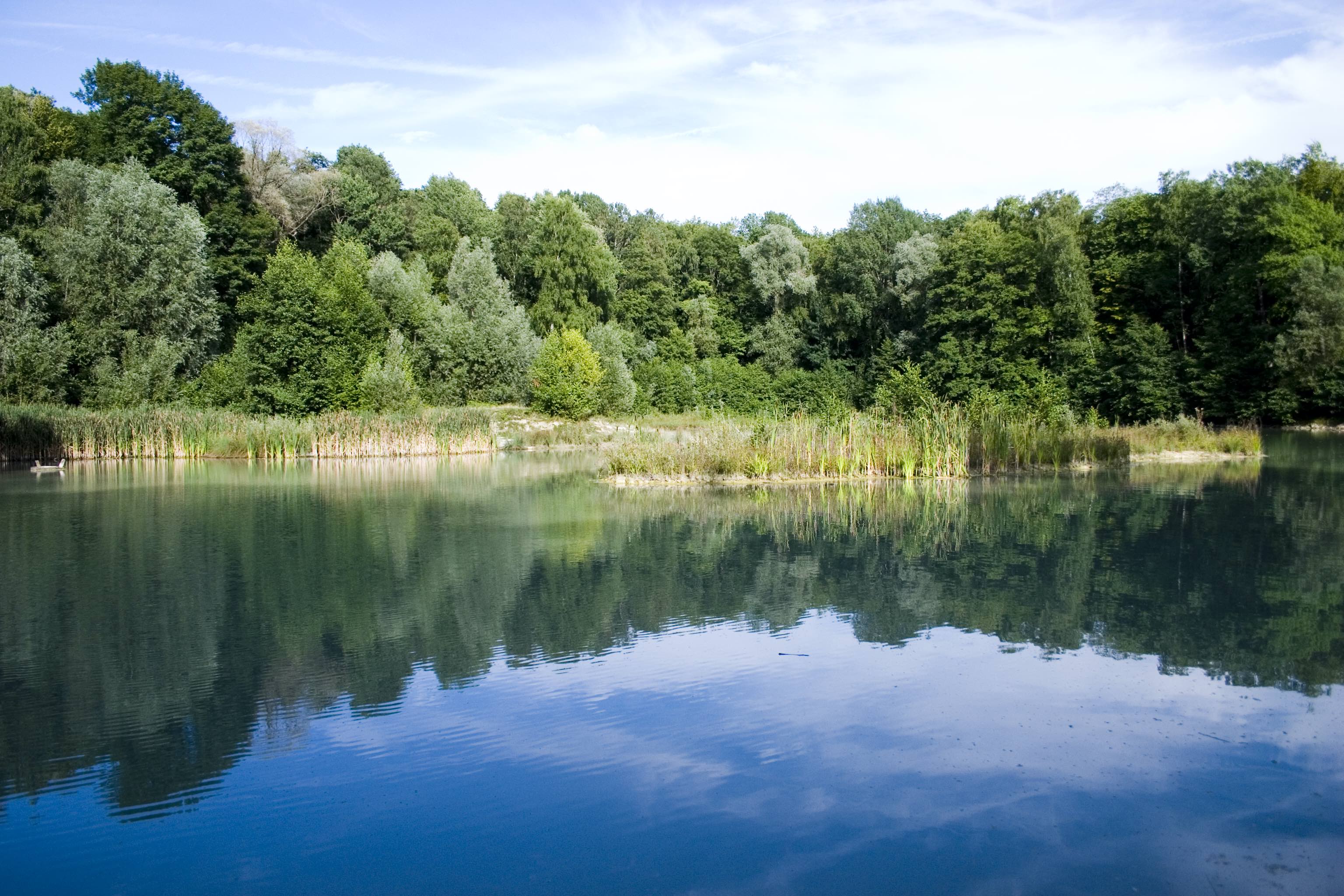
Small loop in the forest, which allows you to discover two bodies of water and hilly paths.

Already more than 200,000 users!
Uphill
186m
Highest point
222m
Downhill
186m
Lowest point
118m
Route type
Loop
Download the map on your smartphone to save battery and rest assured to always keep access to the route, even without signal.
Includes IGN France and Swisstopo.
Parking du Lac Bleu.
Viarmes and Presles - Courcelles (Transilien H) stations also get you relatively close to the forest.
I indicate whether dogs are allowed or prohibited on this trail
All year
3 ratings
Balade sympa en forêt. Il y a plusieurs petits lacs et un peu de relief.
Also enjoy:

Already more than 200,000 users!