Uphill
199m
Length
9km
Duration
3h
Elev gain
199m
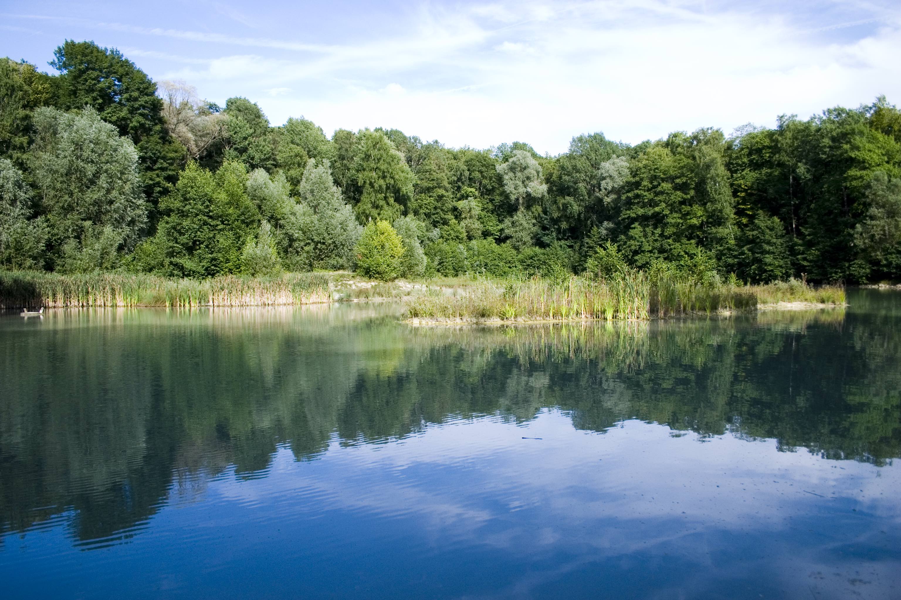
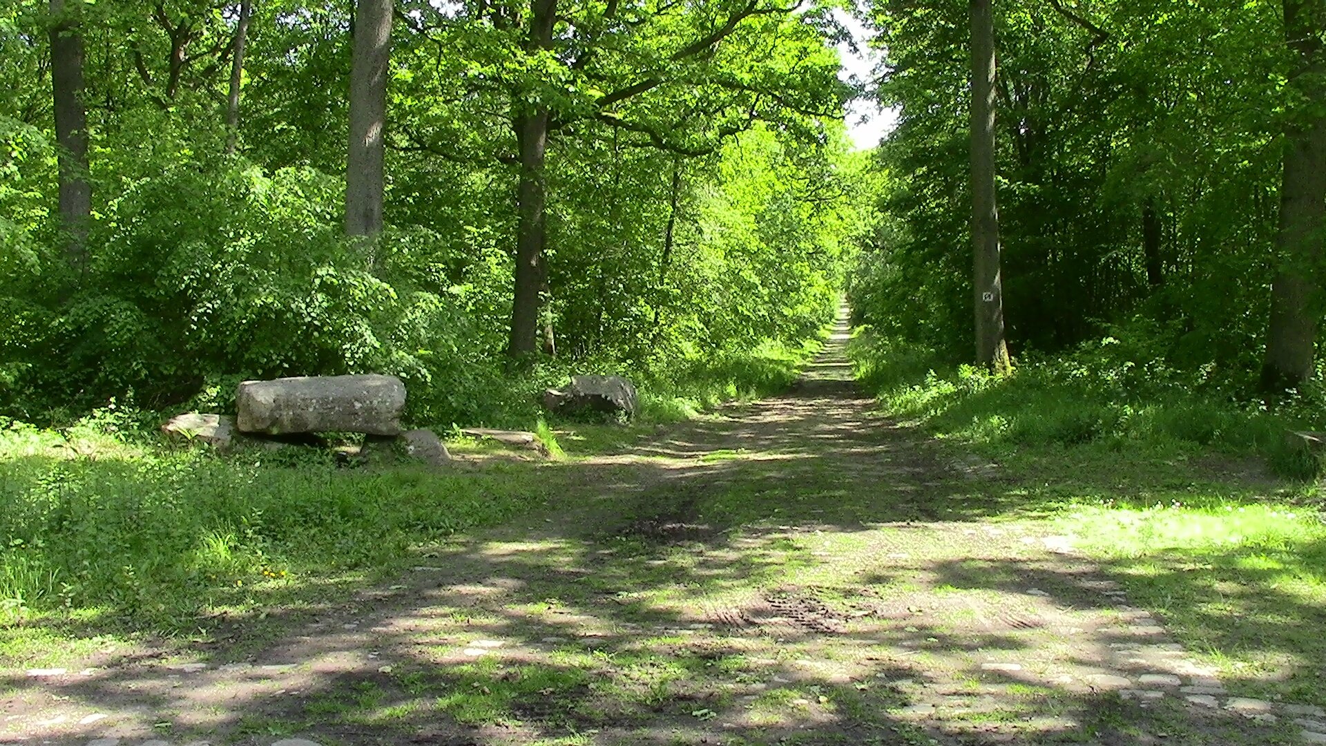
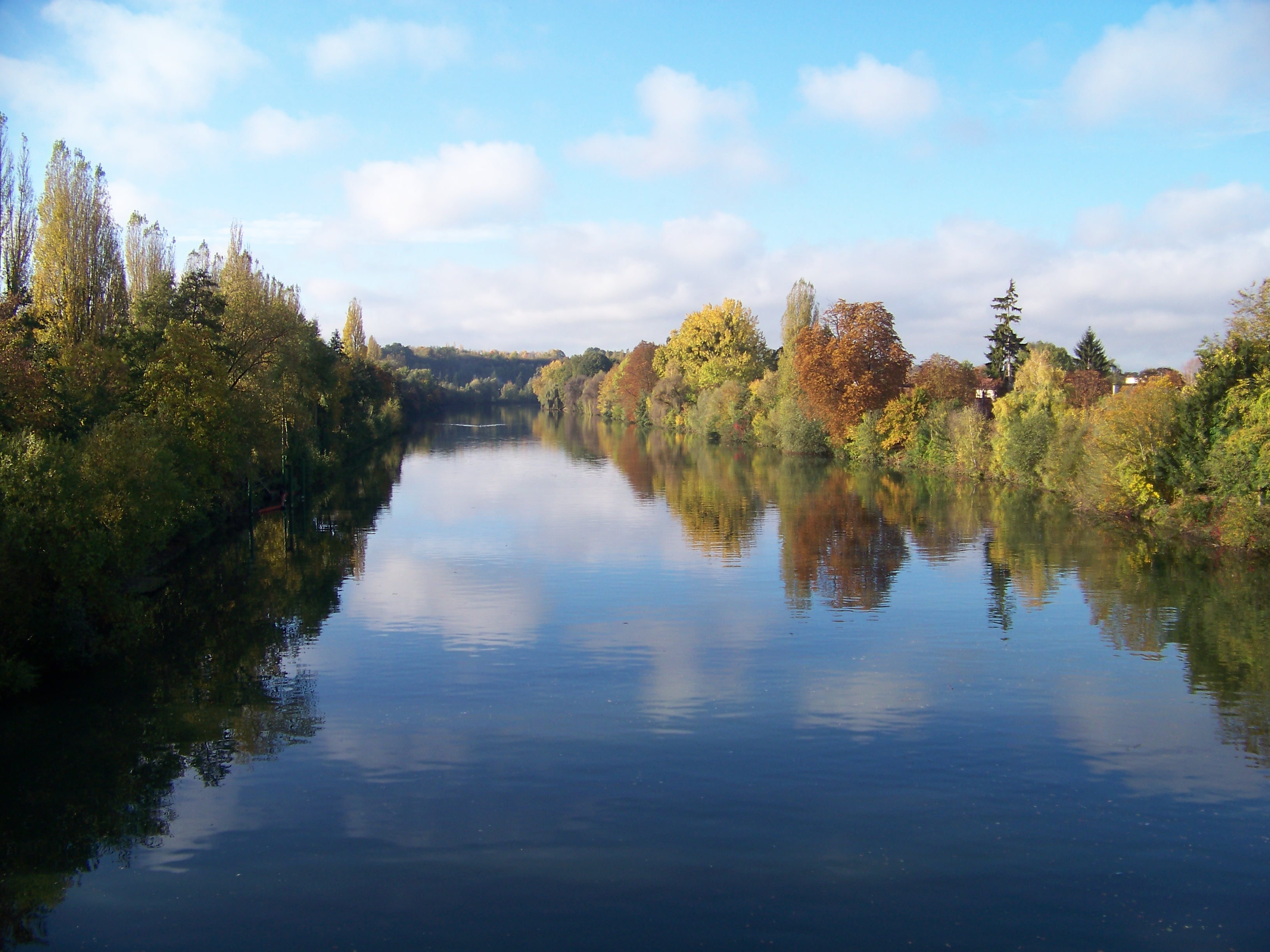
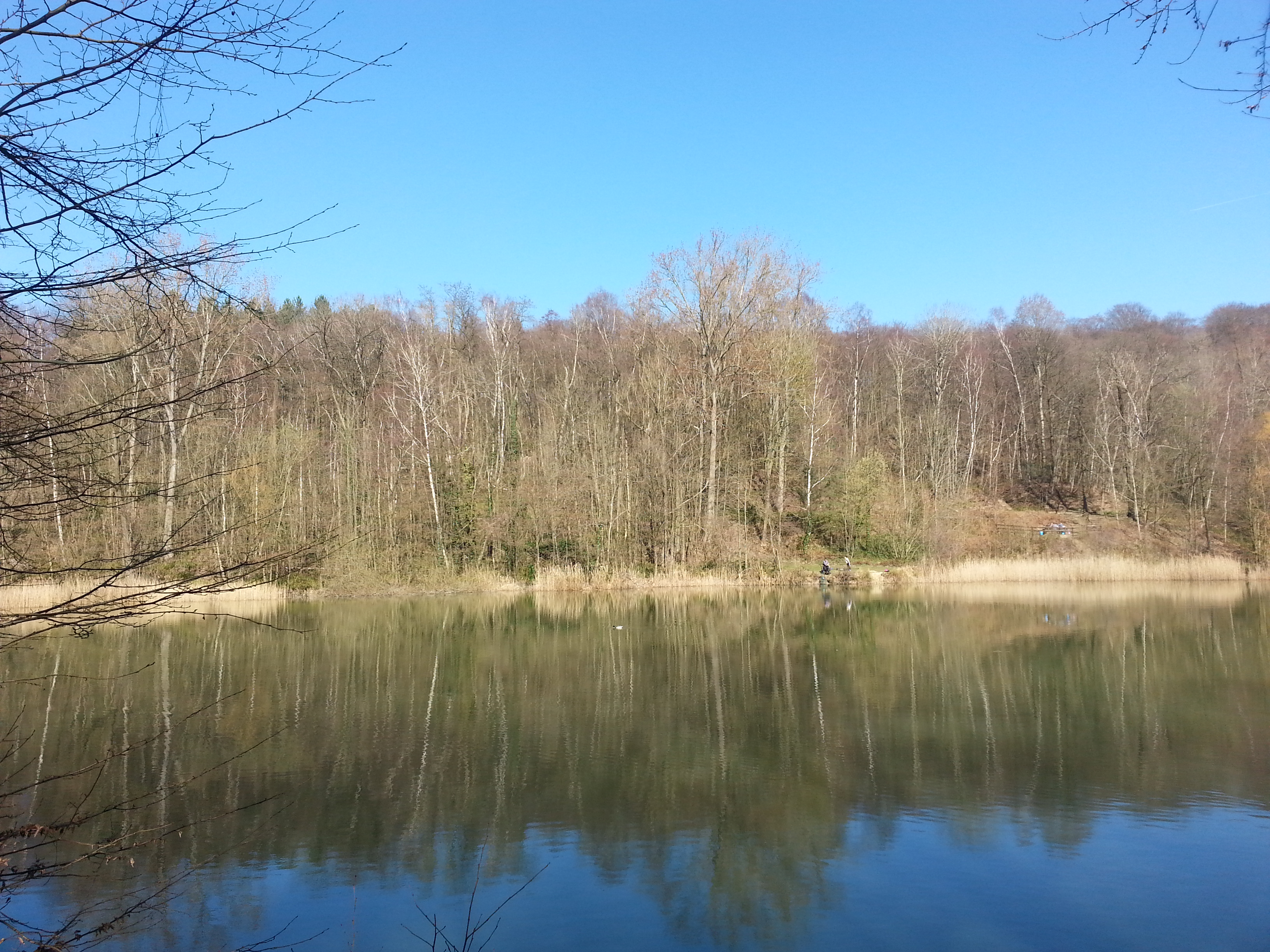
Departing from Beaumont-sur-Oise, this loop crosses Nointel then offers a beautiful immersion in the Carnelle forest to Lac Bleu.
Note that a passage of about 1 kilometer is on the road.

Already more than 200,000 users!
Uphill
199m
Highest point
229m
Downhill
199m
Lowest point
40m
Route type
Loop
Download the map on your smartphone to save battery and rest assured to always keep access to the route, even without signal.
Includes IGN France and Swisstopo.
I indicate whether dogs are allowed or prohibited on this trail
All year
1 rating
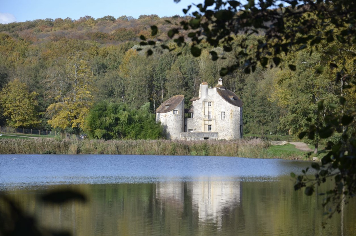
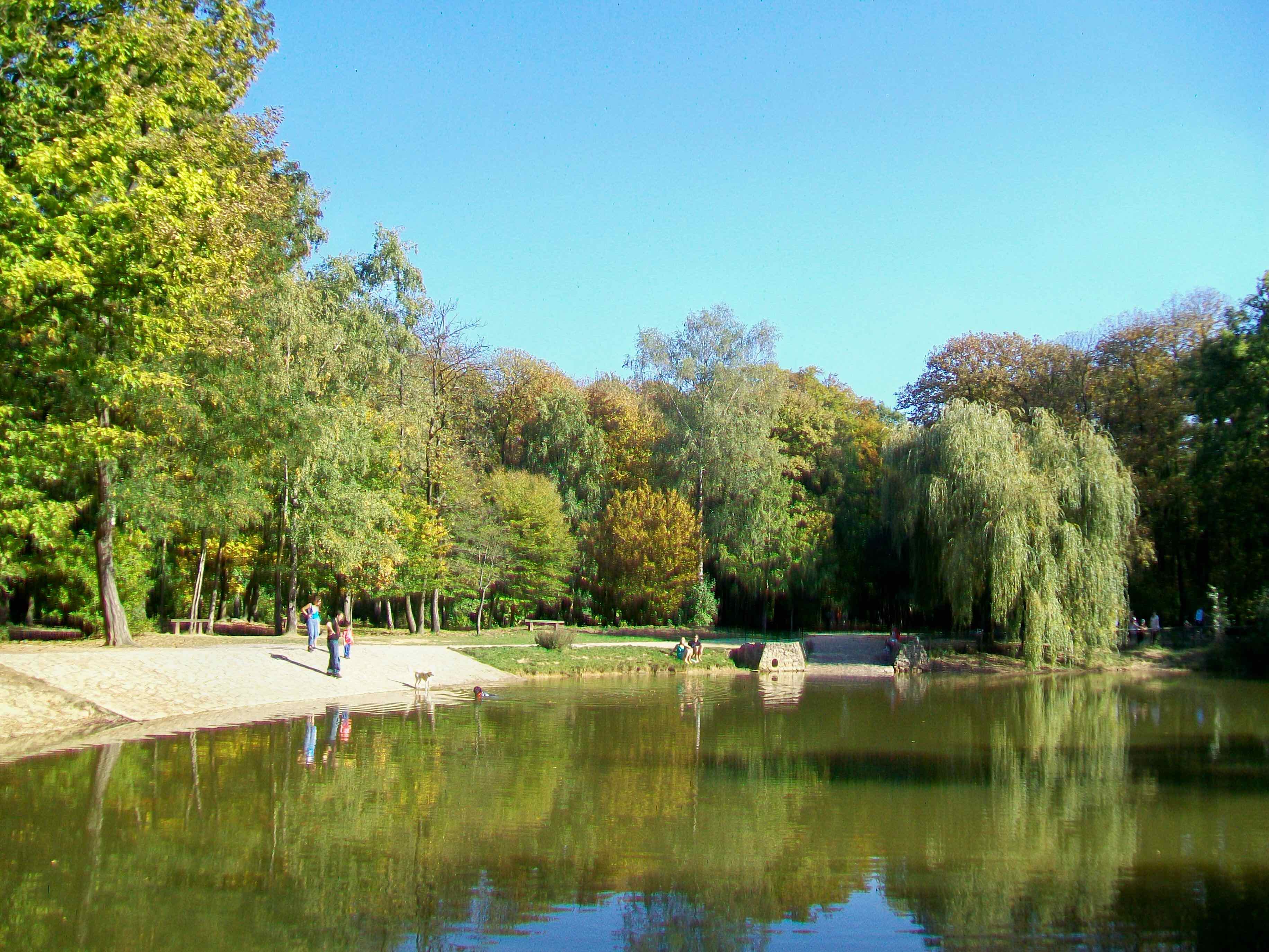
Also enjoy:

Already more than 200,000 users!