Uphill
177m
Length
15km
Duration
4h
Elev gain
177m
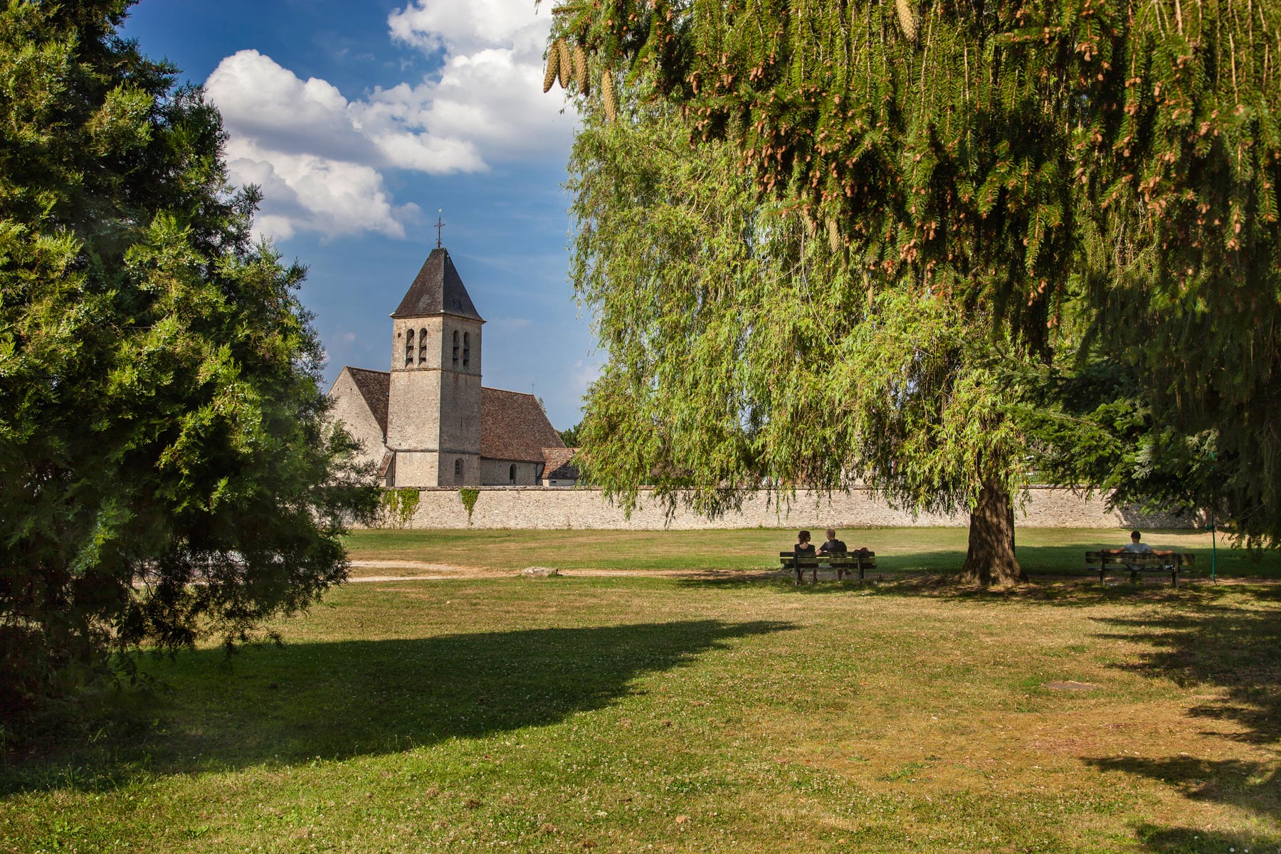
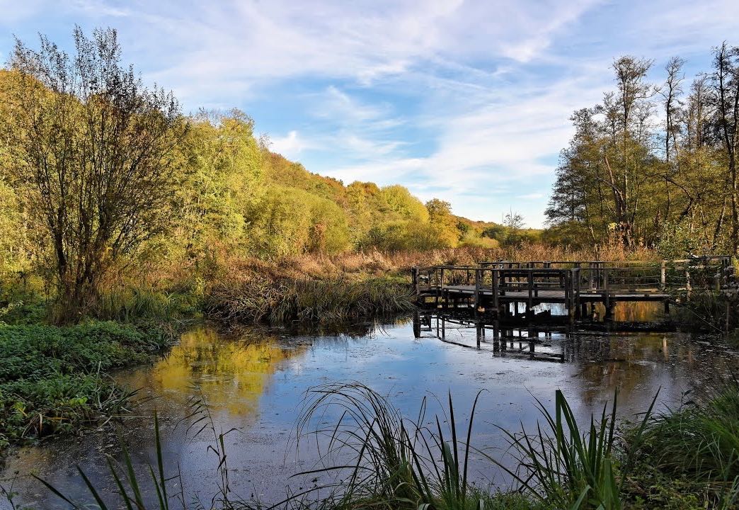
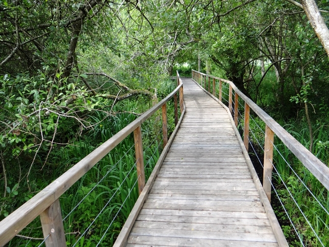
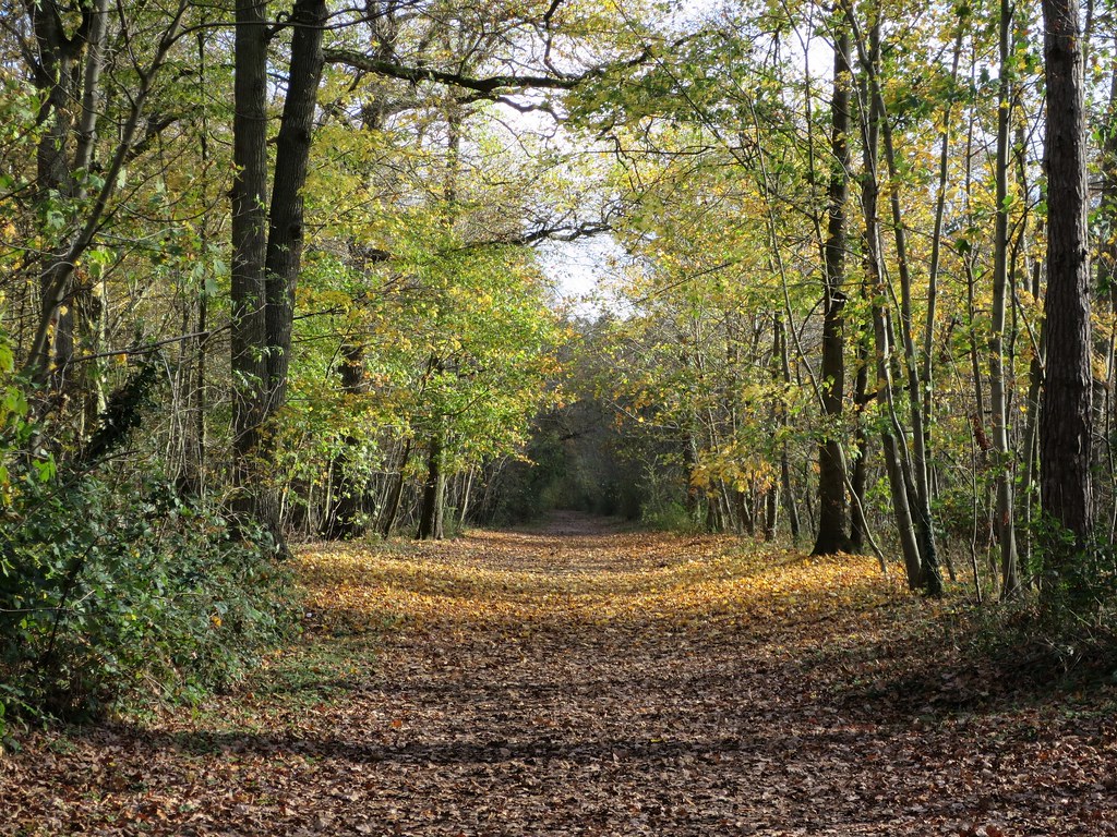
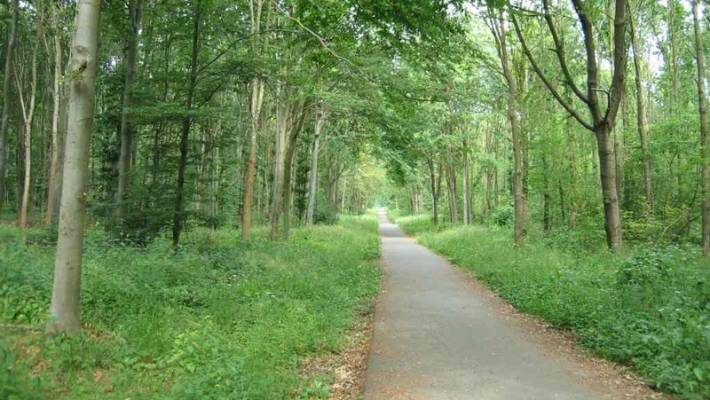
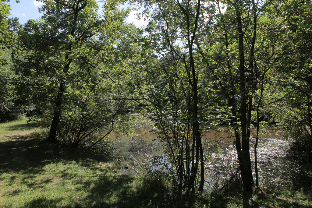
Starting from Crespières, this hike alternates between countryside and wooded areas with the Flambertins and Abbecourt forests. A pond is also present on the route.
Note that a short passage takes place on the road.

Already more than 200,000 users!
Uphill
177m
Highest point
202m
Downhill
177m
Lowest point
94m
Route type
Loop
Download the map on your smartphone to save battery and rest assured to always keep access to the route, even without signal.
Includes IGN France and Swisstopo.
I indicate whether dogs are allowed or prohibited on this trail
All year
1 rating
Il y a un gros chantier dans le centre de Crespiere et il faut donc contourner le chemin initial au début sur 1kms.
Also enjoy:

Already more than 200,000 users!