Uphill
170m
France > Île-de-France > Seine-et-Marne > Gâtinais Français Regional Natural Park
Length
15km
Duration
4h
Elev gain
170m
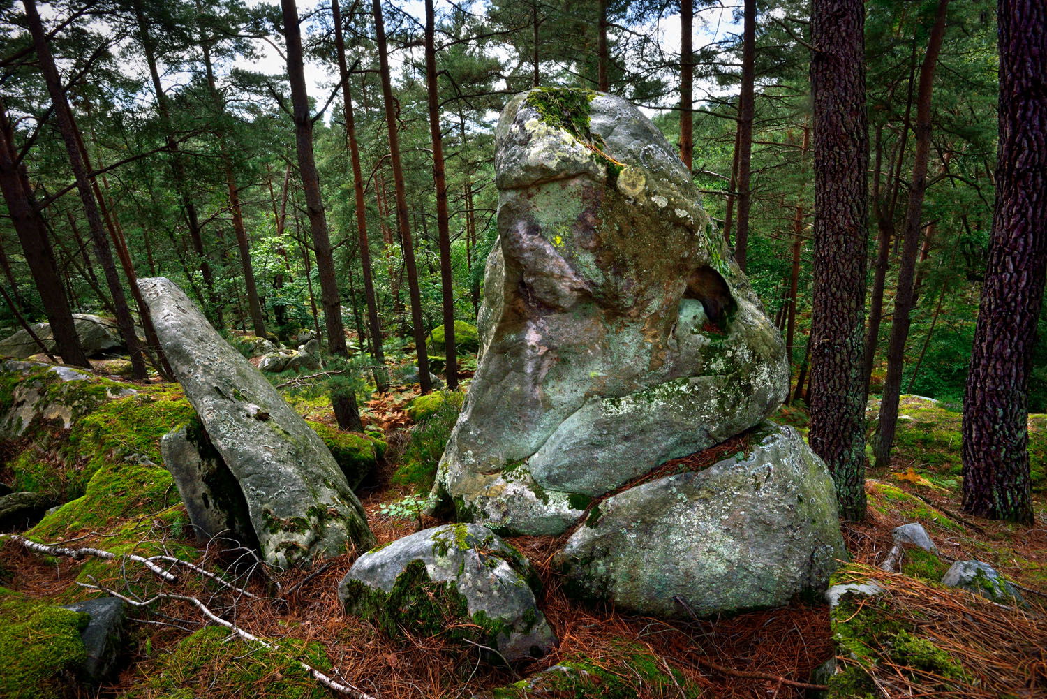
After a night spent in Barbizon, the second day of hiking begins with a long straight line to the Chêne Brûlé reserve, the starting point of a circuit in the Franchard gorges. The bravest can make a small detour, but our route then heads towards the winding paths of the Gorges du Houx. Mont Aigu offers a nice view, while once again we find all the appreciable characteristics of the forest of Fontainebleau: pines, ferns and blocks of sandstone.
Finally, the trail goes around the town of Fontainebleau and heads to the station, to end this two-day getaway.

Already more than 200,000 users!
Uphill
170m
Highest point
153m
Downhill
177m
Lowest point
79m
Route type
One way
Download the map on your smartphone to save battery and rest assured to always keep access to the route, even without signal.
Includes IGN France and Swisstopo.
I indicate whether dogs are allowed or prohibited on this trail
All year
1 rating
Also enjoy:

Already more than 200,000 users!


